Teton County, Wyoming
Looking for the best hiking in Grand Teton National Park? We've got you covered with the top trails, trips, hiking, backpacking, camping and more around Grand Teton National Park. The detailed guides, photos, and reviews are all submitted by the Outbound community.
Top Hiking Spots in and near Grand Teton National Park
-
Alta, Wyoming
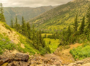
Hike Darby Canyon to the Wind Cave
4.9The best time to hike Darby Canyon is May through September, since the snow stays late in spring and comes earlier in fall.Hiking up Darby Canyon to the Wind Caves provides spectacular views of the Jedediah Smith Wilderness and is a fun, yet challenging hike. It is a popular day hike, and many fa...Read more -
Teton Village, Wyoming
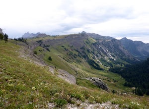
Teton Crest Trail
5.025.35 mi / 9681 ft gainThe Teton Crest Trail has several variations that allow the hiker to enter and exit through different canyons. The classic trail begins at the Phillips Pass Trailhead and comes to a close at Paintbrush Divide. Many hikers choose to take the Teton Village Tram up to Marion Lake and join up with th...Read more -
Teton County, Wyoming
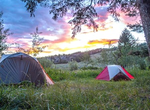
Camp at Curtis Canyon Campgrond
Enjoy a leisurely drive through the National Elk Refuge as you leave Jackson, Wyoming for Curtis Canyon Campground. A short walk from the campground provides epic views of the Teton Range and the National Elk Refuge. Pour a cup of coffee and enjoy! Curtis Canyon Campground is part of the Bridger-...Read more -
Jackson, Wyoming
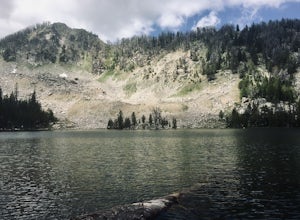
Hike to Goodwin Lake
4.06.2 mi / 1453 ft gainThis trail is moderately rated and is primarily used for hiking, walking, and exploring. The beginning of the trail is rather steep. Stretches of elevation gain can be quite challenging, but the views are well worth the exertion and the trail does level off after the initial incline. There are so...Read more -
Moran, Wyoming
Huckleberry Mountain via Sheffield Creek Trail
10.1 mi / 2648 ft gainThis hike has it all and at 10 miles round-trip, is not difficult depending on the conditions. I hiked it the last weekend of October in tennis shoes and shorts (albeit with leggings) and was dressed adequately for about 2/3 of the hike. The last 1.5 miles on the way to the fire tower was through...Read more -
Wilson, Wyoming
Hike to Ski Lake
4.34.4 mi / 455 ft gainThis is a great hike that is just a few minutes from Wilson, WY. This trail is used more by locals than visitors to the area, but is a great one to check out if you are nearby. The views are incredible and the lake at the top is pretty cool, too.There is easy access from Teton Village and Jackson...Read more -
Wilson, Wyoming
Hike Mt. Glory
5.02 mi / 1650 ft gainDepending on how old your vehicle is, this hike could be as difficult for your rig as it is for you. At the top of the Pass, there is a generously-sized parking area. The unmarked trail for Mt. Glory is on the opposite side of the road, and you can't miss it if you look for the yellow speed limit...Read more -
Alta, Wyoming
Hike Coal Creek Trail
Imagine hiking through the expansive valleys of wildflowers and evergreen forests with grand views of the Tetons. That is exactly what this trail provides. The coal creek trail is an access trail to many other great trails throughout the Bridger-Teton National Forest. This gives the adventurer th...Read more -
Alta, Wyoming
Taylor Mountain via Cole Creek
8.76 mi / 3261 ft gainThe Coal Creek Trailhead is at 7,250 feet. Follow the trail as it goes up Coal Canyon and through Coal Creek Meadows. Taylor mountain is the peak on the left side of the canyon as you climb. When you come to a fork at 2.5 miles (just after the meadow), take the left fork (toward the west) to begi...Read more -
Alta, Wyoming
Union Falls and Scout Pool
5.015.42 mi / 1755 ft gainOf a summer spent living in Yellowstone, and many overnight trips in the park, the trek to Union Falls and Scout Pool ranked at the top of my list. (Many of my fellow gas station employees agreed!) The hike itself is nothing spectacular, but takes you to two of the most beautiful places in the pa...Read more -
Yellowstone National Park, Wyoming
Photograph Cave Falls
3.5Cave Falls is one of the hidden waterfalls of Yellowstone National Park that really only the natives know about. Although Cave Falls originally derived its name from a cave next to the waterfall, the cave has since collapsed and is no longer accessible. Known for its enormous length of 250 feet, ...Read more -
Yellowstone National Park, Wyoming
Dunanda Falls via Boundary Creek Trail
4.516.56 mi / 771 ft gainYou'll start at the Bechler Ranger Station and take the Boundry Creek Trail. Depending on which camp site you reserve your hike will be anywhere from 5-9 miles. We camped at site 9A1 5 miles from the ranger station. Hiking to waterfall is 16+ miles round trip Your feet will get wet on this hike,...Read more -
Jackson, Wyoming
Take a Dip at "Hippie" Hot Springs
4.8Hippie Hot Springs is definitely one of the better kept secrets in the area. In fact, locals will probably get mad that I am even letting others know about it. Recently the Park Service has really cracked down on people illegally bathing in the more popular hot springs up near Flagg Ranch. The go...Read more -
Dubois, Wyoming
Explore the Breccia Cliffs
As you drive from Dubois to Togwotee Pass or Grand Teton you will no doubt notice beautiful cliffs right off the road. These are the Breccia Cliffs. This whole area offers plenty of places to explore, photograph, fish, swim, hike and much more including places like Wind River Lake, Brooks Lake, a...Read more -
Tetonia, Idaho
Packsaddle Lake
4.80.74 mi / 259 ft gainDirections to the lake:To get here, head North on Highway 20 as if you’re heading to St. Anthony. Then, take exit 339 towards Driggs on ID-33 E. Turn right onto 9th N for .5 miles. Then follow ID-33 E for 24.4 miles until you reach the dirt road Hoopes Rd. Drive. Drive on this road for 5.9 miles ...Read more -
Yellowstone National Park, Wyoming
Photograph Lewis Falls, Yellowstone NP
4.00.32 miIf you are coming into Yellowstone National Park from the South Entrance Road (also known as Highway 89) be prepared to stop minutes before Lewis Lake to hike to this waterfall. After crossing the bridge over the Lewis River pull over on the right hand side of the road, there should be plenty of ...Read more
Top Activities
Let Adventure be your Destination in Wyoming
Wyoming’s wide-open spaces make it easy to get off the grid and on a trail, through a park, into a forest, up a mountain or down a river. During your journey through Wyoming’s Black to Yellow Region, discover geologic marvels, dense evergreen forests and sprawling prairielands.
Learn More

