Ben LertsakdadetExplorer
Currently a graduate student at University of California, Irvine, who enjoys exploring and photographing the great outdoors in my spare time.
Bridge to Nowhere via East Fork Trail
La Verne, California
4.4
9.65 mi
/ 1798 ft gain
The trail on this 10-mile hike is predominately slow and steady, but can be a little rocky, so be prepared to scramble. When you’re fording the river, the water level can range from knee to chest high, especially in the wet months. A good pair of waterproof hiking boots is helpful, but water shoes can offer value when the water is really high. You will run into river crossings early in the trai...
Colter Bay Lakeshore Trail
Moran, Wyoming
4.0
2.55 mi
/ 148 ft gain
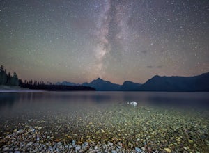
Within the first 100 feet on the trail, you are greeted with the stunning view of the peaks of Grand Teton reflecting off of Jackson Lake. Here you can enjoy lunch or a small snack at one of the picnic tables before or after the short hike.
Continue following the Colter Bay Lakeshore Trail along the edge of Jackson Lake, and you will find yourself crossing a section of the trail to a loop that...
Downhill Mountain Bike the Verde and Viking Trails at Aspen Snowmass
Aspen, Colorado
3.8 mi
/ 1900 ft gain
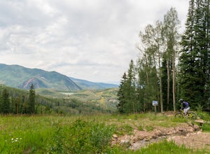
The Verde and Viking trails at Aspen Snowmass resort are long winding trails perfect for beginners and intermediates. The trails are a combination of open and forest-lined paths varying from 1 to 6 feet wide. They both do a nice job of combining large wide turns where you can keep your speed to extremely narrow 180 degree turns that will require some hard banking.
They offer multiple packages i...
Exploring Pearl Street Beach's Arch Rock
Laguna Beach, California
4.0
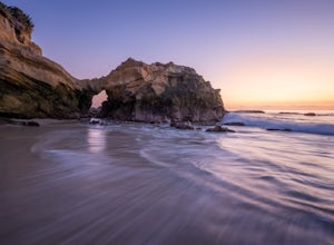
Pearl Street Beach is a great spot to just chill and watch (and photograph) the sunset with friends and family. Parking for the beach can be found on S. Coast Hwy (the 1) and is meter parking. There is also free, but limited parking available along the smaller streets closer to Pearl Street Beach, such as Agate St. or Ocean Way. To get to the beach, look for stairways located on Agate St. and O...
Bluff Cove
Palos Verdes Estates, California
4.4
0.56 mi
/ 144 ft gain
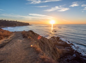
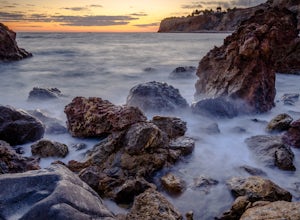
Parking for Bluff Cove is located along the sides of the street of Paseo Del Mar, and the trailhead is located right next to the street. Bluff Cove is one of those unique locations in that there are a variety of activities you can do here.
It is a great location for surfing, paddle boarding, body boarding, or just taking in the sunset. Once at the bottom of the trail, you can walk out onto Roc...
Pelican Cove
Rancho Palos Verdes, California
0.38 mi
/ 95 ft gain
Getting There Coming from San Pedro, make a U-turn at the Hawthorne Boulevard stoplight onto Palos Verdes Drive South. From here, you can access the parking lot for Pelican Cove, where you'll get a 120° view of the ocean. It might be tempting to take in the sunset from the car, but you should definitely hike down to the water for an even more spectacular view.
The Trail From the parking lot, ...
Burma Road Trail & Ishibashi Trail Loop
Rancho Palos Verdes, California
4.3
5.09 mi
/ 1148 ft gain
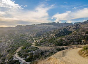
Getting There: The easiest way to get to Portuguese Bend Nature Reserve is by following Crenshaw Boulevard up Rancho Palos Verdes to the very end of the street. You can park on either side of the street near Del Cerro Park, which also happens to be a great place for picnics if you want to eat before or after your hike.
The Trail: The trail begins on Burma Road, a wide path shared between hike...
Mt. Washburn via South Trail
Yellowstone National Park, Wyoming
4.7
7.02 mi
/ 1680 ft gain
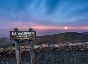
The parking lot for the Mt. Washburn Hike from Dunraven Pass trailhead is located about 5 miles north of Canyon Village along the Grand Loop Road. Since we wanted to reach the top of Mt. Washburn before sunrise, we began our hike 2 hours earlier. If you decide to attempt a sunrise hike, I highly recommend carrying either a flashlight, or even better, using a headlamp, and having bear spray read...
Hellman Park Trail
Whittier, California
3.0
4 mi
/ 850 ft gain
This trail is great if you're looking for a quick, but intense workout. The hike itself is only 4 miles out- and-back and can be easily completed within a couple of hours. However, be prepared for a steep and steady incline for the first 1.5 miles.
The trail itself is pretty wide, and if you show up late, parking will be an issue as it is a popular trail in the area. There is a small lot open ...
Storm Point Trail Hike
Park County, Wyoming
2.5 mi
/ 180 ft gain
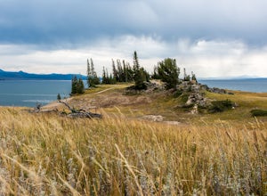
This short 2.5-mile loop hike on the Storm Point Trail begins right in front of Indian Pond on the East Entrance Road of Yellowstone National Park. You can park your car at the pull-out area, and you will see a sign identifying the trailhead. One of the coolest things about this trail is the different surroundings that you’ll find yourself within as you go about your hike.
The first quarter of...
Parker Mesa Overlook via Trippet Ranch
Topanga, California
4.0
6.75 mi
/ 1181 ft gain
This is a 6.8 mile round-trip hike that starts at Trippet Ranch in Topanga Canyon. Even though the range in elevation is 400 feet from peak to trough, the up and down trail totals to approximately 1800 feet elevation gain making this a beginner to intermediate adventure.
The trail itself is pretty wide and begins at Trippet Ranch. You will want to take the trail up to East Topanga Fire Rd. fr...
Eagle Rock in Topanga State Park
Topanga, California
4.4
5.99 mi
/ 1106 ft gain
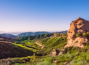
Eagle Rock is located in Topanga State Park in the Santa Monica Mountains, and it is a unique formation that provides an amazing panoramic view of Santa Monica. On a clear day, the Catalina Islands and Palos Verdes Peninsula are visible. You can park on along the street of Entrada Rd. or pay $10 to pay for parking inside Trippet Ranch (worth it in my opinion to support the park and the amenitie...
Huntington Beach Pier
Ladera Ranch, California
4.6
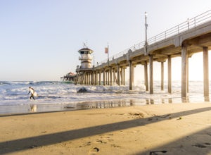
The Huntington Beach Pier is a great spot for a multitude of activities. If you're looking to bodysurf, surf, swim, jog, or just chill, this is the spot for you. There's plenty of a restaurants nearby, making it the perfect weekday/weekend getaway.
I frequent this location to shoot sunsets by the pier. Overall, it's a nice clean beach thats great for hanging with friends and family.
There ar...
Community
© 2024 The Outbound Collective - Terms of Use - Privacy Policy


