Canmore, Alberta
Looking for the best chillin in Canmore? We've got you covered with the top trails, trips, hiking, backpacking, camping and more around Canmore. The detailed guides, photos, and reviews are all submitted by the Outbound community.
Top Chillin Spots in and near Canmore
-
Banff, Alberta
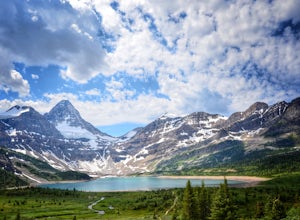
Mount Assiniboine: Sunshine Village to Mount Shark
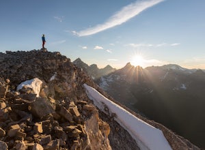
5.036.37 mi / 5869 ft gainThis trek specifically covers the distance from Sunshine Village to Mount Shark. You will need a car at Mt. Shark, as there are no shuttles from that location to Canomre or any local areas. Otherwise, you can try to hitch a ride back – your best bet is to talk with some locals or visit the Canmor...Read more -
Improvement District No. 9, Alberta
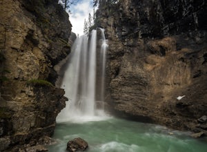
Hike Johnston Canyon
5.01.6 mi / 393.7 ft gainGetting There: The Canyon is very well marked, but here are directions anyway if you're coming from Banff: Head West on the Trans-Canada Highway for about 5 km or so. Take the Bow Valley Parkway exit, and continue West for another 18km - you'll then see signs to your right for Johnston Canyon. Th...Read more -
Improvement District No. 9, Alberta
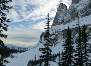
Snowshoe to Rockbound Lake
3.011 mi / 2460 ft gainThis is an amazing trail, but not for the feint of heart!The trailhead is located on the Bow Valley Parkway (Highway 1A) in Banff National Park, AB at the Castle Mountain sign. The trailhead is marked by an information sign in the north of the parking lot and the trail initially heads north - not...Read more -
Bragg Creek, Alberta
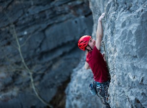
Rock Climb at White Buddha
4.01.9 mi / 492.1 ft gainTo reach White Buddha, park at the Powerface Creek parking lot. Between December and May, Route 66 is closed at Elbow Falls, so you may need to park at the gate and walk in, about 0.3 miles (500 m). The trailhead is well marked from the parking lot.The first section of the trail is mellow, though...Read more -
Bragg Creek, Alberta
Cross-Country Ski and Scramble to Oldforgetmenot for Sunrise
9.9 mi / 2395 ft gainI think it's because I tend to watch football on Sundays that I've started doing more sunrise hikes --- can't say I regret it either! Oldforgetmenot is a perfect objective to take in a sunrise on: elevation gain isn't too intense, distance isn't too trying, and there are quite a few stretches tha...Read more -
Bragg Creek, Alberta
Hike to Bragg Creek Ice Cave
4.04.3 mi / 5879.3 ft gainAlso known as Moose Mountain Ice Cave, Canyon Creek Ice Cave and Ing Mine.The cave is located on the west side of Moose Ridge andhas a huge entrance, it is approximately1,600 ft. in depth. Take Highway 22 past Bragg Creek, continue on the 66 towards Moose Mountain. Turn off at Canyon Creek Road...Read more -
Eldon, Alberta
View the Castle Mountain Lookout
Castle mountain, so named for its fortress-like shape, is a quick hop away from the town of Banff. If you don't have time to hike to Rockbound Lake (at the base of Castle), head to the viewpoint just off of Highway 91 and snap some pictures of this epic mountain. Drive north for about 10 minutes...Read more -
Kananaskis, Alberta
Explore the Pocaterra Cirque
Start at the Pocaterra/Highwood pass parking lot. The pond is about 1.5km directly west from the parking lot, but the trail head is not always obvious, especially if there is snow. Keep an eye out for the flagging tape that marks the trail. Consider bringing snowshoes in November.This makes for ...Read more -
Improvement District No. 9, Alberta
Hike to Consolation Lakes
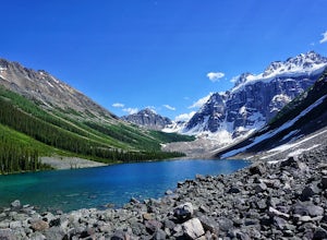
4.03.7 mi / 196.9 ft gainOnce at Moraine Lake, the directions to Consolation Lakes are quite clear. From the parking lot, head northeast past the rockpile, which provides fantastic views of Moraine, then follow the Consolation Lakes Trail for another 2.9 km (1.8 miles) past Taylor Lake until you reach the lake. Depending...Read more -
Improvement District No. 9, Alberta
Scramble the Ten Peaks via the Perren Route
A true adventure with lots of route finding, glacier travel, loose rock and high altitude views. This is not for the faint hearted or first timers.From the Moraine Lake parking lot walk down the east side of the lake along the well maintained trail. Towards the end of the lake you will cross the ...Read more -
Lake Louise, Alberta
Hike to the Lake Louise Overlook
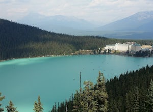
5.02 mi / 500 ft gainThis is a fairly steep, short hike that gives you a great view of Lake Louise. The hike begins right behind the canoe rental shop on the South side of the lake. The trail is very easy to follow and there are quite a few people that hike it. The hike is an hour and half round trip. The hike leads...Read more -
Lake Louise, Alberta
Hike to Big Beehive
5.06.2 mi / 1710 ft gainThe hike to Big Beehive begins at the base of Lake Louise. From the parking lot, hike along the paved trail on the northeastern shore of Lake Louise. The Fairmont Chateau Hotel will be to your right with the lake to your left. Continue toward the junction for the Lake Agnes Trail. Keep right t...Read more -
Lake Louise, Alberta
Exploring Lake Louise
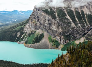
4.6Lake Louise is one of the most photographed lakes in Canada, with reason. Many tourist walk the paved path round and head home. They miss out though. Hiking to the various tea houses surrounding the lake is a must. An easy 2 mile hike from the lake lies a tea house perched on a hill in a tight ci...Read more -
Improvement District No. 9, Alberta
Drive the Icefields Parkway
5.0145.45 mi / 6293 ft gainThe Icefields Parkway has been named One of the World's Most Scenic Drives by National Geographic and with all the scenic hikes, stops, and viewpoints, it's easy to see why. Starting at Lake Louise, a friend and I decided to drive up the Icefields Parkway which goes through Banff National Park i...Read more -
Improvement District No. 9, Alberta
Bike the Icefields Parkway
The Icefields Parkway is a spectacular highway to ride (you can see the short video here). The shoulders are wide and well paved. Drivers are typically courteous, slowing down and giving you space as they pass, making the ride a great deal more enjoyable. Starting in Jasper you load up your bike,...Read more -
Field, British Columbia
Hike to the Opabin Prospect
5.02.5 mi / 820 ft gainLocated in Yoho National Park, Lake O'Hara is said to be the crown jewel of the Canadian Rockies (rightly so!). Callum Snape has described a bit of the process on what it takes to gain access to Lake O'Hara at this post here. Once you arrive at Lake O'Hara, either at the lodge or at the neighbori...Read more

