Canmore, Alberta
Looking for the best running in Canmore? We've got you covered with the top trails, trips, hiking, backpacking, camping and more around Canmore. The detailed guides, photos, and reviews are all submitted by the Outbound community.
Top Running Spots in and near Canmore
-
Canmore, Alberta
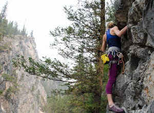
Rock Climb at Cougar Creek Canyon
4.03.1 mi / 49.2 ft gainFrom the TransCanada highway, take the second exit into Canmore (from either direction), and head uphill on Elk Run Boulevard. At the top of the hill, across from the Iron Goat restaurant, there is a three way intersection, head right across the bridge and take an immediate left into the parking ...Read more -
Canmore, Alberta
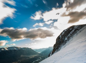
Ha Ling Sunrise Hike
4.15 mi / 2296.6 ft gainStart at the Goat Creek parking lot and cross the road towards Ha Ling. There is an access road with a gate on the other side. Walk up the road and across the bridge. From there the trail is obvious and will lead you to the summit. Overall it's a fairly easy hike with switchbacksOnce above tree l...Read more -
Canmore, Alberta
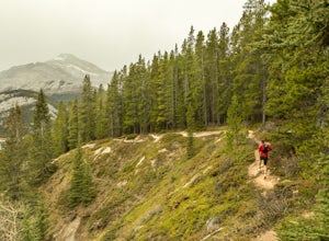
Trail Run on the Wind Ridge-Bow Valley
8.4 miWind Ridge is a 7,217 ft / 2,200 m mountain peak near Canmore, Alberta, Canada, with spectacular views into the Bow Valley. The trail is primarily used for hiking and is accessible from May until November.Take the Spray Lakes Road from the town of Canmore for 22km. The trail head is just below th...Read more -
Canmore, Alberta
Hike Pigeon Mountain
Important note: trail closure from December 1 - June 15th.Altitude: 2,394m (7,852 ft)Elevation gain: 990m (3,247 ft)Round trip: 6-6.5 hours (15 kms)Heading West from Calgary on Trans Canada Highway #1 - take the Dead Mans Flats overpass, and go South for 1 -1.5 kms until you reach a parking lot. ...Read more -
Kananaskis, Alberta
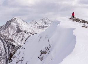
Running on the Tent Ridge
1.06.3 mi / 2706.7 ft gainTent Ridge is located in Kananaskis Country, a 45 minute drive from Calgary, Alberta. Start on Mount Shark Road at the pull out to your right. You will have to walk a few 100 meters back down the road to access the trail head to begin this hike.Some decent elevation is gained during the hike with...Read more -
Lake Louise, Alberta
Plain of Six Glaciers
4.68.96 mi / 1565 ft gainStarting from the parking lot on the east end of Lake Louise, there are a few options you can take to get to the Plain of Six Glaciers. One is to head directly along the lakeshore trail, and in about 7 km (4.2 miles) you will be at the lookout offering the best vantage point of the glacier field....Read more -
Field, British Columbia
Hike the Yuckness Ledges in Yoho National Park
5.5 mi / 0 ft gainThe Lake O’Hara Alpine Circuit is short loop - but it's not for the faint-hearted. We walked Yuckness Ledges, which is a trail under a large cliff with incredible views over Lake O'Hara and the rest of Yoho National Park. The trail starts from the Lake O’Hara outlet bridge across from the Le Rela...Read more

