Lake Louise, Alberta
Looking for the best hiking in Lake Louise? We've got you covered with the top trails, trips, hiking, backpacking, camping and more around Lake Louise. The detailed guides, photos, and reviews are all submitted by the Outbound community.
Top Hiking Spots in and near Lake Louise
-
Edgewater, British Columbia
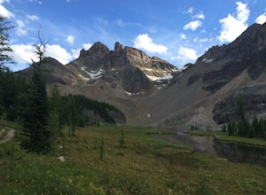
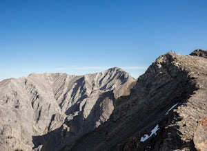
Scramble the Towers
12.4 mi / 3937 ft gainFrom the Assiniboine Lodge (or your campsite or your hut), follow directions to Wonder Pass. After the pass, there are two ways to get up to The Towers, which you can see on the map in the pictures. The first option is to keep going on Wonder Pass Trail a bit further, lose some elevation and cut ...Read more -
Canmore, Alberta
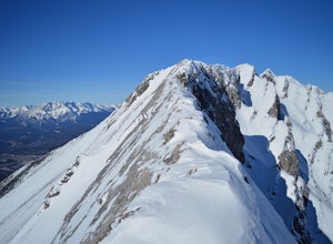
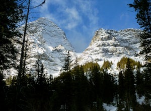
Mount Lady Macdonald Scramble in Winter
3.5The Mount Lady Macdonald trail begins at Cougar Creek, starting out as a leg burner through the forest, then meandering through boulders, halfway up. The boulders, sparse forest, and views of the Bow River Valley make for a classic mountain landscape that isn't always offered by forested walks to...Read more -
Canmore, Alberta
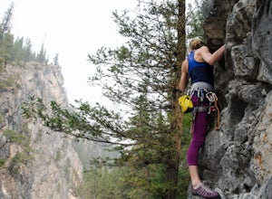
Rock Climb at Cougar Creek Canyon
4.03.1 mi / 49.2 ft gainFrom the TransCanada highway, take the second exit into Canmore (from either direction), and head uphill on Elk Run Boulevard. At the top of the hill, across from the Iron Goat restaurant, there is a three way intersection, head right across the bridge and take an immediate left into the parking ...Read more -
Clearwater County, Alberta
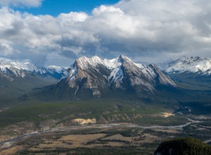
Hiking Mt. Ernest Ross
3.0Clearly visible from the highway, the Twin Peaks of Ernest Ross get their namesake from the man who first drove a 1930 Ford Roadster between Rocky Mountain House and Saskatchewan River Crossing.After a 5 minute walk along the north bank of Bridge Creek, the hike begins to pick up elevation. A str...Read more -
Canmore, Alberta
Hike Grotto Mountain
7.5 mi / 4429.1 ft gainFrom Highway 1A take the exit to the Alpine Club of Canada. Park near the woodpile as the actual parking lot is for Alpine Club customers. The trailhead about 30 metres up the road from the woodpile.The start of the trail is fairly relaxed but it quickly becomes a steep uphill battle. There are t...Read more -
East Kootenay G, British Columbia
Hike to Cobalt Lake
5.010 mi / 2400 ft gainYou most likely won't find another person hiking this trail the same day as you, and for good reason; the trailhead is at the end of a 55 km gravel road that begins at British Columbia Highway 95, near the remote town of Spillimacheen. There is helicopter transportation if you are staying at the ...Read more -
Bighorn No. 8, Alberta
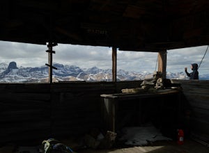
Scramble Up Black Rock Mountain
4.0Fortunately, or unfortunately depending on your point of view, getting to/finding the trailhead is the most difficult part of this hike! On top of Black Rock Mountain is an abandoned fire lookout that was utilized from 1928 to 1950. Through all those years, the lookout was supplied by pack horses...Read more -
Kananaskis, Alberta
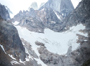
Snowshoe to Old Goat Glacier
6.2 mi / 2296.6 ft gainThe trialhead is found on West Side Road on the west side of Spray Lakes Resevoir. In winter, West Side Road is closed to vehicles due to dogsled tours, but is still open to walking - it's a pretty neat experience to get passed by a dozen sled dog teams. Since the road is closed, it adds an extra...Read more -
East Kootenay G, British Columbia
Climb Bugaboo Spire, NE Ridge
6 mi / 2300 ft gainThe adventure of the Bugaboos starts almost at the highway when you turn off at Brisco. A collection of rough and tumble roads that are only recently signed towards the Bugaboo Provincial Parking Lot are exciting enough... 4WD isn't required, but a car with decent clearance will make the drive mu...Read more

