Lake Louise, Alberta
Looking for the best hiking in Lake Louise? We've got you covered with the top trails, trips, hiking, backpacking, camping and more around Lake Louise. The detailed guides, photos, and reviews are all submitted by the Outbound community.
Top Hiking Spots in and near Lake Louise
-
Improvement District No. 9, Alberta
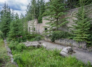
Explore Bankhead Ghost Town
5.00.81 mi / 37 ft gainBankhead is a ghost town which flanks Cascade Mountain and lies just south of Lake Minnewanka in Banff National Park. The main portion of the ghost town is located in Lower Bankhead, which can be reach by traveling North on Range Rd 1158 (closed Nov - Apr), following the signs to Lake Minnewanka....Read more -
Banff, Alberta
Hike Tunnel Mountain, Banff
4.02.7 mi / 984.3 ft gainThe lower trailhead is only a short walk from Downtown Banff. Head east on Wolf street and up St. Julien Road and you will see the trailhead shortly after passing Wolverine street.There is also a upper trailhead on Tunnel Mountain Drive across from the carpark and viewpoint. Although this is clos...Read more -
Banff, Alberta
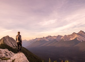
Dawn to Dusk in Banff National Park
5.06.8 miThis is a micro adventure in one of the world’s most desired National Parks. The common excuse for those who tend to skip the great outdoors is lack of time. This one day adventure is an example that you can cram a lot into a day! Dawn: Sunrise hike up to South Ridge in Banff. Start at the famous...Read more -
Improvement District No. 9, Alberta
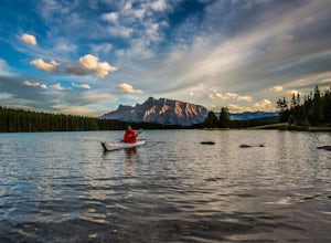
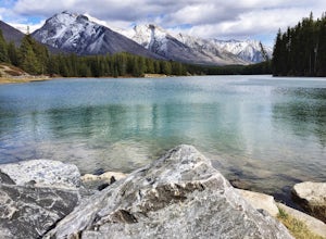
Kayak Two Jack Lake
4.2Of all the lakes in the Banff area, this was one of my favorites to get out on the water. Don't expect the bright blue glacial waters of some of the other lakes in the Canadian Rockies, but the water is pristine and it was one of the few places I went where it felt like it was all locals hanging...Read more -
Improvement District No. 9, Alberta
Hike to the Hermit of Inglismaldie
4.02 mi / 34 ft gainAs you drive towards Johnson Lake, the road will end at a parking lot where you should park. There are restrooms and picnic tables located in this same area. Due to the low elevation, the trail around Johnson Lake is a gentle walk, but trail conditions should always be checked especially during ...Read more -
Improvement District No. 9, Alberta
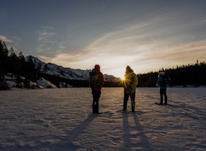
Snowshoe to Johnson Lake
2 miThis is a well-traveled hike, so if you stay on the path, you'll likely need only a good pair of boots. However, in the middle of winter, the lake freezes solid, and you might enjoy exploring a little out on the frozen lake like we did. Snowshoes definitely came in handy out there.This is a very ...Read more -
Clearwater County, Alberta
Hike Maze Peak
4.05.3 mi / 2624.7 ft gainThere's not much of a trailhead for Maze Peak - in fact there isn't a trailhead at all. Bring up the start location from this post and pull over on the side of the dirt road once you get to it! The hardest part about this trail is just kind of finding it, really. The good news is that you're goin...Read more -
Edgewater, British Columbia
Hike to Windy Ridge
10.6 mi / 1640.4 ft gainWindy Ridge is located by Og Pass in the Mount Assiniboine Provincial Park. Whether you start from any of the campgrounds, huts or the lodge, the way to the Windy Ridge Trail is well indicated and the trail itself is well worn. Beware that if you are using the Gem Trek map (1:100,000), the notes ...Read more -
Saskatchewan River Crossing, Alberta
Backpack to Michelle Lakes
5.011.2 mi / 7545.9 ft gainTrailhead Owen Creek located by the East Banff National Park Boundary on the David Thompson Highway (#11). There is no sign for Owen Creek so keep you eyes open for a pullout approximately 2kms east of the Banff National Park toll gate. You will find the trail to the right of the creek when facin...Read more -
Kananaskis, Alberta
East End of Rundle Scramble
4.44.7 mi / 2880 ft gainThis well marked, fun hike that has a bit of everything, from easy forest walking, to steep slabs, minor hands on scrambling, and a scree slope to the summit.From the parking lot, head north up the hill, where the trail begins around the power poles. There a few different paths to start, so it's ...Read more -
Canmore, Alberta
Ha Ling Sunrise Hike
4.15 mi / 2296.6 ft gainStart at the Goat Creek parking lot and cross the road towards Ha Ling. There is an access road with a gate on the other side. Walk up the road and across the bridge. From there the trail is obvious and will lead you to the summit. Overall it's a fairly easy hike with switchbacksOnce above tree l...Read more -
Canmore, Alberta
Hike to Grassi Lake
4.52.4 mi / 820.2 ft gainTo get to the Grassi Lake trailhead, continue past the Nordic Center about 2km and take a small left when you reach a junction between a gravel road and a paved road. You want to be on the paved road, as this will lead you down to the Grassi Lake parking lot. The trail starts right behind the res...Read more -
52.013448,-116.628897, Alberta
Mount Cline
4.014.56 mi / 6535 ft gainStarting 105 miles (169kms) from Rocky Mountain House, the trailhead for this hike begins across the highway from Thompson Creek Campground. There is a grassy area to park and the path extends obviously on the east side of the creek. The initial 2.5 miles (4.2kms) meanders along the creek with 2...Read more -
Edgewater, British Columbia
Hike to Nub Peak
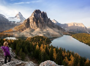
5.07.3 mi / 2789 ft gainStarting right at Mt. Assiniboine Lodge, there is very clear signage for this hike. The arrows will lead you over a wooden walkway right before you begin a gentle assent through the woods,gaining elevation the further you go, and then arrive at The Nublet which is before the peak. The Nublet has ...Read more -
Edgewater, British Columbia
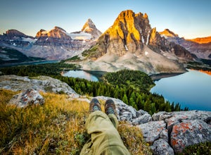
Explore Mount Assiniboine Provincial Park
5.0Mount Assiniboine Provincial Park is a UNESCO World Heritage Site sequestered 27 km from the nearest road. We took a helicopter in, and hiked out . You can also hike both ways, but the hiking once you are there is more amazing than on the way in. You can also ski in on backcountry skis in the Win...Read more -
Clearwater County, Alberta
Siffleur Falls Trail
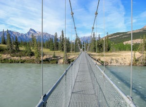
4.09.02 mi / 922 ft gainApproximately 93 miles (150kms) West of Rocky Mountain House along Highway 11, the trailhead begins at the Siffleur Falls Day Use Area. This spot offers restrooms and picnic tables to relax after your hike. Begin by following the trail along the North Saskatchewan River. Cross the very long susp...Read more

