Sawback, Alberta
Looking for the best hiking in Sawback? We've got you covered with the top trails, trips, hiking, backpacking, camping and more around Sawback. The detailed guides, photos, and reviews are all submitted by the Outbound community.
Top Hiking Spots in and near Sawback
-
Canmore, Alberta
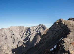
Hike Grotto Mountain
7.5 mi / 4429.1 ft gainFrom Highway 1A take the exit to the Alpine Club of Canada. Park near the woodpile as the actual parking lot is for Alpine Club customers. The trailhead about 30 metres up the road from the woodpile.The start of the trail is fairly relaxed but it quickly becomes a steep uphill battle. There are t...Read more -
Edgewater, British Columbia
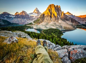
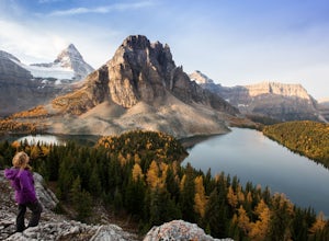
Hike to Nub Peak
5.07.3 mi / 2789 ft gainStarting right at Mt. Assiniboine Lodge, there is very clear signage for this hike. The arrows will lead you over a wooden walkway right before you begin a gentle assent through the woods,gaining elevation the further you go, and then arrive at The Nublet which is before the peak. The Nublet has ...Read more -
Edgewater, British Columbia
Explore Mount Assiniboine Provincial Park
5.0Mount Assiniboine Provincial Park is a UNESCO World Heritage Site sequestered 27 km from the nearest road. We took a helicopter in, and hiked out . You can also hike both ways, but the hiking once you are there is more amazing than on the way in. You can also ski in on backcountry skis in the Win...Read more -
East Kootenay G, British Columbia
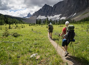
Backpack the Rockwall Trail
68 mi / 8530 ft gainThe Rockwall trail is a famous 3-5 day trek in Kootenay National Park. We started from the North and camped at Helmet Falls our first night, and then continued south and exited out Floe Lake. I would recommend this direction for a backpack, and the opposite direction for a trail run (it's about ...Read more -
Kananaskis, Alberta
Snowshoe to Old Goat Glacier
6.2 mi / 2296.6 ft gainThe trialhead is found on West Side Road on the west side of Spray Lakes Resevoir. In winter, West Side Road is closed to vehicles due to dogsled tours, but is still open to walking - it's a pretty neat experience to get passed by a dozen sled dog teams. Since the road is closed, it adds an extra...Read more -
Edgewater, British Columbia
Scramble the Towers
12.4 mi / 3937 ft gainFrom the Assiniboine Lodge (or your campsite or your hut), follow directions to Wonder Pass. After the pass, there are two ways to get up to The Towers, which you can see on the map in the pictures. The first option is to keep going on Wonder Pass Trail a bit further, lose some elevation and cut ...Read more -
Canmore, Alberta
Trail Run on the Wind Ridge-Bow Valley
8.4 miWind Ridge is a 7,217 ft / 2,200 m mountain peak near Canmore, Alberta, Canada, with spectacular views into the Bow Valley. The trail is primarily used for hiking and is accessible from May until November.Take the Spray Lakes Road from the town of Canmore for 22km. The trail head is just below th...Read more -
Kananaskis, Alberta
Hike up Windtower Mountain
5.06.2 mi / 3182.4 ft gainSpray Lakes is one of my favorite areas in Kananaskis, and the view of Spray Lakes from the summit is absolutely breathtaking.The trailhead is located along the Smith-Dorrien Trail (Spray Lakes Road) – look for a yellow sign on the eastern side of the road, about 1 mile (1.5 km) south of the Drif...Read more -
Canmore, Alberta
Hike Pigeon Mountain
Important note: trail closure from December 1 - June 15th.Altitude: 2,394m (7,852 ft)Elevation gain: 990m (3,247 ft)Round trip: 6-6.5 hours (15 kms)Heading West from Calgary on Trans Canada Highway #1 - take the Dead Mans Flats overpass, and go South for 1 -1.5 kms until you reach a parking lot. ...Read more -
Kananaskis, Alberta
Hike Spencer Creek
2.5 mi / 1968.5 ft gainSouth of the Driftwood turnoff (approximately 4 km) on Spray/Smith-Dorrien Trail a large creek bed on the east of the road is the beginning of Spencer Creek. The trail is easy enough to find, just have to do a bit of looking.Once on the trail, you'll basically have no trouble at all. The trail it...Read more -
Bighorn No. 8, Alberta
Icewalk in Grotto Canyon
3.5To get to the trailhead, take Highway 1 and take the Seebe exit (Highway 1X). Continue north on Highway 1X and take a left at Highway 1A. A few kilometres after the town of Exshaw, turn into the parking lot marked by the Grotto Pond sign.The trailhead is well marked and follow the trail until the...Read more -
51.064574,-115.203550
Hike Grotto Creek
3.7 mi / 410.1 ft gainThis is a great hike that could be a quick 2 hour sprint or stretch into a full day affair. The trailhead is located just off Highway 1A at a fishing pond with outhouses and ample parking. The trail is well signed and in a quick kilometre, hikers will be at the actual creek bed. In summer, hike...Read more -
Improvement District No. 9, Alberta
Climb the Grand Sentinel
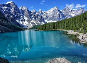
8.6 mi / 3612.2 ft gainThe Grand Sentinel has two routs on it. While it is hard to access it is a modern classic with bolted anchors, and Cardia Arete is a Sport climbing route. While I could offer my take on this classic, Chris Perry' Banff Rock is a far better resource than I. To access the climb park at Moraine Lak...Read more -
Improvement District No. 9, Alberta
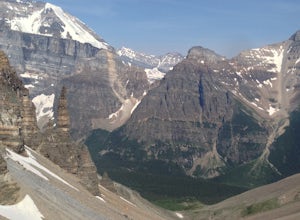
Eiffel Lake via Valley of Ten Peaks
5.07.35 mi / 1647 ft gainHike with amazing views of Valley of Ten Peaks, including Mount Fay (10,613 ft), Mount Little (10,131 ft), Deltaform Mountain (11,234 ft), and Wenkchemna Peak (10,401 ft) to two breathtaking glacial lakes in the heart of the Continental Divide. From the lake, the trail is quite easy to follow, a...Read more -
Improvement District No. 9, Alberta
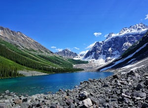
Hike to Consolation Lakes
4.03.7 mi / 196.9 ft gainOnce at Moraine Lake, the directions to Consolation Lakes are quite clear. From the parking lot, head northeast past the rockpile, which provides fantastic views of Moraine, then follow the Consolation Lakes Trail for another 2.9 km (1.8 miles) past Taylor Lake until you reach the lake. Depending...Read more -
Improvement District No. 9, Alberta
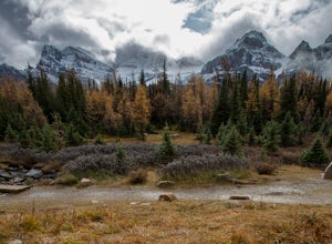
Larch Valley Trail to Minnestimma Lakes
5.05.61 mi / 1909 ft gainStarting at the Moraine Lake parking lot take, take the main trail the leads down past the cafe and lodges on the lake shore. A short way down the trail splits, to the left is just the lakeside walk. For Larch Valley take a right, it is clearly signed. Depending on the time of the year there are ...Read more

