East Kootenay G, British Columbia
Looking for the best photography in East Kootenay G? We've got you covered with the top trails, trips, hiking, backpacking, camping and more around East Kootenay G. The detailed guides, photos, and reviews are all submitted by the Outbound community.
Top Photography Spots in and near East Kootenay G
-
Field, British Columbia
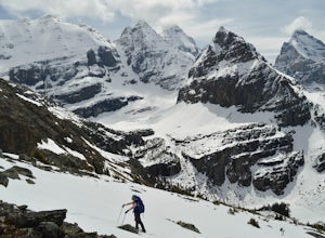
Snowshoe to Wiwaxy Gap
1.03.7 mi / 1310 ft gainViews in the Lake O'Hara area are unique from the “sea of mountains” look that defines many excellent weekend hikes in the Rockies. With Odoray, Yukness, Huber, Wiwaxy, Schaffer, Biddle, and Lefroy in such close proximity to each other, it is easy to imagine you are in Pakistan, Nepal, or Argenti...Read more -
Field, British Columbia
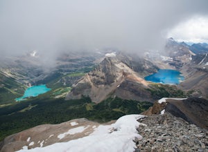
Scramble Little Odaray
6.2 mi / 3116.8 ft gainFirst things first: prior to August 15, there are only 4 groups of people allowed in this area per day, and after August 15, only 2 groups are allowed in. Start early!Starting at Lake O'Hara, head towards the Elizabeth Parker ACC Hut. Continue past the hut and meander through meadows and forests....Read more -
Kananaskis, Alberta
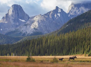
Hiking to Karst Spring in Kananaskis Country
4.5Every year, over 5 million visitors make their way through Banff National Park to soak in the surrounding peaks, bountiful wildlife, and turquoise-colored lakes. With this many visitors, it's hard to find yourself alone, especially during the peak seasons of summer and fall. Right next door to Ba...Read more -
Banff, Alberta
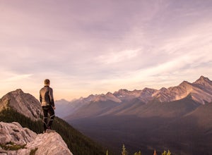
Dawn to Dusk in Banff National Park
5.06.8 miThis is a micro adventure in one of the world’s most desired National Parks. The common excuse for those who tend to skip the great outdoors is lack of time. This one day adventure is an example that you can cram a lot into a day! Dawn: Sunrise hike up to South Ridge in Banff. Start at the famous...Read more -
Kananaskis, Alberta
Bryant Creek Lodge via Watridge Lake Trail
16.65 mi / 1401 ft gainThis moderate-graded backcountry hike or ski in the winter can take 5-8 hours (one way). Most people hike or ski in from the Mt. Shark parking lot in Kananaskis Country, a 30 min. drive from Canmore, Alberta. From Mt. Shark Parking Lot (off the Smith-Dorrien Road), take the Watridge Lake Trail t...Read more -
Banff, Alberta
Explore Vermillion Lakes in Banff National Park
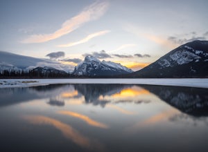
4.7Vermillion Lakes is one of the best spot's in Banff to catch a sunrise or sunset depending on the season. Although it's one of the most popular locations for photographers, there are so many different areas around the lakes that you'll never feel like it's too crowded. Mount Rundle can be photogr...Read more -
Improvement District No. 9, Alberta
Moraine Lake
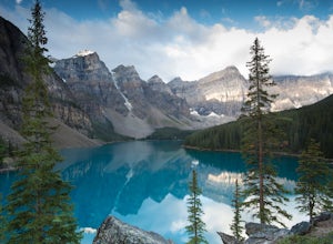
4.8Showing up at Moraine Lake before dawn is a must as to avoid the multitude of tours busses. The morning sun is subtle and magical. The lake, being glacially fed, does not reach its crest until mid to late June. When it is full, it reflects a distinct shade of blue. The color is due to the refract...Read more -
Banff, Alberta
Hike to the Hoodoos, Banff
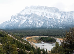
5.03 mi / 295.3 ft gainThe beginning of this hike is easily accessed from the town center of Banff by the Bow river. Perfect for those without a car! Follow the trail on the side closest to town as it leads up the Bow River and into the forest following the signs for Hoodoos Loop.The hike is 4.8km one way, leading arou...Read more -
Banff, Alberta
Snowshoe Mt. Norquay
2.2 mi / 1000 ft gainFrom Banff:Take the shuttle from the town lot to Mt. Norquay Ski Lodge, it is $10 CAD one way or $15 roundtrip, but you may want to walk back. If you decide to walk back there are two options; the road or the beautiful mountain trail. The trail head can be easily picked up in the parking lot, hik...Read more -
Kananaskis, Alberta
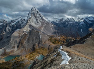
Scramble Smutwood Peak
5.011.8 mi / 2772.3 ft gainThe trailhead is is located at the first left after the bridge past Engandine Lodge in Kananaskis. The trail forks after a while and you need to take a right which takes you into Smuts Pass. This trail is actually really cool and fun to walk - undulating, narrow, rooted, and right along the edge ...Read more -
Banff, Alberta
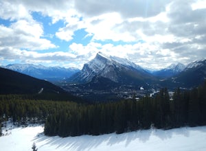
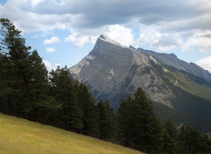
Take in the View at the Mount Norquay Green Spot
3.5The "Green Spot" is a beautiful grassy slope that opens up to sweeping views of downtown Banff and the surrounding area. It's a great spot for photography, especially capturing the peak of Mt. Rundle. There's also a set of chairs conveniently placed on the slope so you can kick back and enjoy t...Read more -
Kananaskis, Alberta
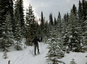
Snowshoe to Rummel Lake and Pass
4.07.5 mi / 2000 ft gainThe trailhead to Rummel Lake/Pass is off of Kananaskis Trail (Smith Dorrien Trail) directly across from the turn to Mt. Shark at the south end of Spray Lakes - it will likely be marked by cars attempting the same trail. The trail is well packed and snowshoes aren't even necessary until after Rumm...Read more -
Field, British Columbia
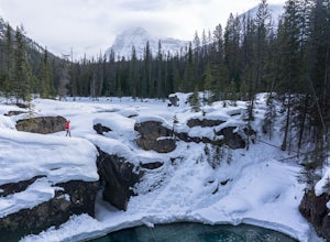
Explore the Natural Bridge in Yoho NP
4.5Whether you are traveling north or south on the Trans-Canada Highway in Yoho National Park you will see a sign that directs you west to travel on Emerald Lake Road. When you turn west you will travel about one mile, or 1.6 km, and then you will see the parking area for the Natural Bridge. After p...Read more -
Canmore, Alberta
Ha Ling Sunrise Hike
4.15 mi / 2296.6 ft gainStart at the Goat Creek parking lot and cross the road towards Ha Ling. There is an access road with a gate on the other side. Walk up the road and across the bridge. From there the trail is obvious and will lead you to the summit. Overall it's a fairly easy hike with switchbacksOnce above tree l...Read more -
Kananaskis, Alberta
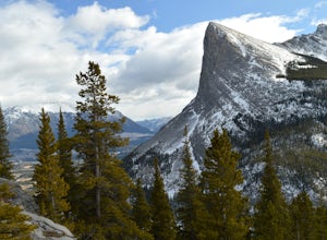
East End of Rundle Scramble
4.44.7 mi / 2880 ft gainThis well marked, fun hike that has a bit of everything, from easy forest walking, to steep slabs, minor hands on scrambling, and a scree slope to the summit.From the parking lot, head north up the hill, where the trail begins around the power poles. There a few different paths to start, so it's ...Read more -
Kananaskis, Alberta
Snowshoe to Old Goat Glacier
6.2 mi / 2296.6 ft gainThe trialhead is found on West Side Road on the west side of Spray Lakes Resevoir. In winter, West Side Road is closed to vehicles due to dogsled tours, but is still open to walking - it's a pretty neat experience to get passed by a dozen sled dog teams. Since the road is closed, it adds an extra...Read more

