Squamish-Lillooet C, British Columbia
Looking for the best camping in Squamish-Lillooet C? We've got you covered with the top trails, trips, hiking, backpacking, camping and more around Squamish-Lillooet C. The detailed guides, photos, and reviews are all submitted by the Outbound community.
Top Camping Spots in and near Squamish-Lillooet C
-
Squamish-Lillooet C, British Columbia
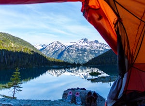
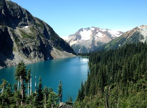
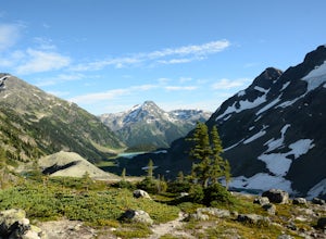
Backcountry Camp Upper Joffre Lake
3.03.1 mi / 2952.8 ft gainJoffre Lakes Provincial Park is located roughly three hours from Vancouver north of Whistler and Pemberton on Highway 99 (Sea-to-Sky Highway). The drive itself up to the trailhead is very scenic and worth it in itself. Once you get to the parking lot, park your car anywhere in the lot and consi...Read more -
Squamish-Lillooet C, British Columbia
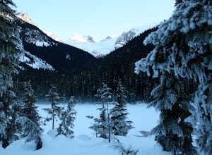
Snowshoe Joffre Lakes
6.2 mi / 1312.3 ft gainThe Canadian west coast mountains around Whistler BC receive over thirty feet of snow each winter. This area is well known for epic skiing and snowboarding, and it's also a really fun place to go snowshoeing. Here's a winter version of the incredible Joffre Lakes adventure (see my profile to read...Read more -
Lytton, British Columbia
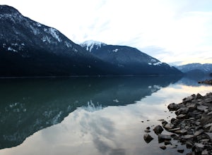
Explore Lillooet Lake
Lillooet Lake sits at the bottom of the Duffey Lake Road, just past the village of Mt Currie. In 2010, Mt Meager experienced a landslide totalling 48 million cubic metres, the largest in modern Canadian history. Sitting directly upriver of Lillooet Lake, the Meager slide turned this beautiful tur...Read more -
Lytton, British Columbia
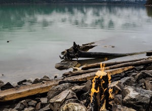
Camp at Strawberry Point
2.0If you're coming from Vancouver give yourself about 3 -4 hours of daylight driving time. This place isn't the easiest to find in the dark. From Pemberton, stay on the highway - this drive is beautiful! Follow any directions you see that will take you to the Duffy Lake road. After you drive along ...Read more -
D'Arcy, British Columbia
Hike to Mt Rohr
5.0/ 3200 ft gainThe Duffy Lake Road area is a scrambling paradise. If you love exploring the alpine off trail, this would be the place.Mt Rohr is a prominent peak, located just above Duffy Lake. One of the highlights of this trip is that you get to hike directly beside the incredible glaciers of Joffre Peak, as ...Read more -
Whistler, British Columbia
Hike to Helm Lake
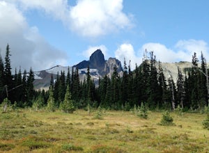
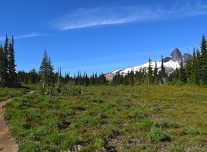
4.012.4 mi / 3000 ft gainHelm Lake is a sparkly body of water tucked into one of the most scenic alpine meadows around. The lake sits on a lava field, just under the Black Tusk, with the unique volcanic remains of Cinder Cone and Helm Peak on the opposite side of the meadow.The big draw for this hike is that it's far les...Read more -
Whistler, British Columbia
Hike the Cinder Flats in Garibaldi Park
5.0Enter from the Cheakamus Lake side, which mean a steady climb up the Helm Creek Trail, but you won't battle the crowds coming up the Rubble Creek side. Plan for a full day in the mountains - it's ~25k total with quite a bit of climbing in the beginning. Bring lots of water, as it can get pretty h...Read more -
D'Arcy, British Columbia
Overnight at Keith's Hut
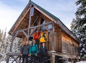
2.05.6 mi / 1312.3 ft gainStarting from the side of the highway outside of Pemberton, continue towards Duffy Lake past Joffre Lake trail head. Cross the Cayoosh Creek bridge and pass the work sheds on your right with a green roof, 3.3km from this is a shoulder and between no-stopping avalanches areas, you will see a pull ...Read more -
D'Arcy, British Columbia
Hike Vantage Peak
3.04.7 mi / 3618.8 ft gainThis trip can be done as big day trip, or broken up over two days if you bring a tent. It makes for a great weekend trip from Vancouver. So good in fact Arc'teryx made a whole movie about it. Just beyond the ever popular Joffre Lakes turn off by about 20km is a unmarked extended shoulder, with a ...Read more

