Soquel Campground
Book this listing through our partner Recreation Gov
About Soquel Campground
Overview
Soquel Campground consists of two loops on the banks of Willow Creek. The primitive sites are well-shaded by pine and fir trees and can accommodate small trailers and tents.Recreation
Trails can be found off Highway 41 west of the campground, including the 3.7-mile Lewis Creek National Recreation Trail and the Miami Motorcycle Trails, a network of forest roads and trails for dirt bikes and off-road vehicles.The Shadow of the Giants, a grove of giant sequoias, is popular 1-mile hike just a short drive north of the campground.
Facilities
Each site has a dirt parking spur, picnic table, campfire ring and grill. Vault toilets are provided, but drinking water is not available. Campers must bring their own supply.Natural Features
The Sierra National Forest, located on the western slope of the central Sierra Nevada, is known for its spectacular mountain scenery and abundant natural resources. The terrain includes rolling, oak-covered foothills, heavily forested middle elevation slopes and the starkly beautiful alpine landscape of the High Sierra.Soquel Campground is located in the Highway 41 Corridor of the Bass Lake Ranger District. This area is known for the Nelder Grove of giant sequoias.
Nearby Attractions
Yosemite National Park is a popular day trip from the area. The historic logging train at Yosemite Mountain Sugar Pine Railroad is a little closer to the campground.Soquel Campground is just off the Sierra Vista Scenic Byway (Sky Ranch Road), an 83-mile drive past many highlights of Sierra National Forest.
Soquel Campground Reviews
Have you stayed here? Be the first to leave a review!
Top Spots in or near Oakhurst
Camp at Greys Mountain Campground
Bass Lake, California / 5293 ft gain
From Greys Mountain Campground, Sierra National Forest is your oyster! Enjoy hiking, swimming, fishing, mountain biking, boating, paddle boarding, kayaking, canoeing, and more.
Each site is equipped with a picnic table and a fire ring. The campground has vault toilets and (sometimes) potable water. The campground is currently closed for the season. You can check campground status here. The cost...
Camp at Nelder Grove Campground in Sierra National Forest
Oakhurst, California
0 mi
/ 0 ft gain
Sites are located along Willow Creek with plenty of shape. Right out of the campground you can hike nearby Bull Buck Trail and discover the giant sequoia trees. This is a first-come first-serve campground so arrive early.Directions: Take Hwy 41 north from Fresno; continue thru Oakhurst to Sky Ranch Road (6S10), which is also Forest Road 10, travel 6.6 miles turn left on 6S47Y, go 1.2 miles to t...
Shadow of the Giants Trail
Oakhurst, California
4.0
1.09 mi
/ 174 ft gain
The Shadow of the Giants National Recreation trail is an amazing 1.1 mile self-guided hike through the heart of Nelder Grove.
Take Hwy 41 north from Fresno; continue thru Oakhurst to Sky Ranch Road (6S10 or Forest Road 10) travel approx. 5 miles to Nelder Grove, when you reach the camp area take the first left (small road) and wind down the road until you reach the Shadow of the Giants trailh...
Wawona Point via Mariposa Grove
Fish Camp, California
6.86 mi
/ 1486 ft gain
There is easy parking in the Mariposa Grove parking lot. There are a variety of trails through the grove; you can follow the NPS guide maps to see each of the iconic trees. These include tunnel trees you can walk through as well as overturned trees showing the immense root systems.
From the parking lot, it's 3 miles and 1200ft. elevation gain to the Wawona Point Vista (Elev. 6,810 feet).
Climb and Camp at Shuteye Ridge
Bass Lake, California
5.0
The Journey to your final destination can get a little tricky once you get on the dirt roads. From the Bay Area it will take you about 3 hours to get into Oakhurst, then another hour to get to the Wilderness Area simply because of the windy and not maintained roads. On that note I would suggest taking a car with a decent amount of clearance. You won't necessarily need a 4x4 but I would suggest ...
Wawona Swinging Bridge Trail
Wawona, California
1.29 mi
/ 121 ft gain
The hike to the Wawona Swinging Bridge is a 0.7 mile dirt path. Start at the trailhead located next to the parking lot. The hike is surrounded by many trees which offers a lot of shade. For the first couple of minutes the trail is fairly straight. You then begin to hike down for just a minute or two until you're parallel to the river. After about 15-20 minutes of slight elevation gain you are m...
Camping and Lodging in Oakhurst
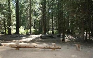
Oakhurst, California
Texas Flats
Overview
Texas Flats Campground is a horse-friendly group camp situated on the banks of McGilvery Creek. It is split into 4 sections name...
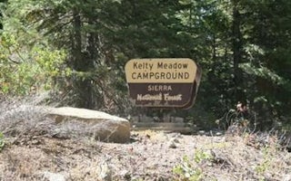
6S10
Kelty Meadow
Overview
Kelty Meadow Campground is located in a mountainous area near Bass Lake. This horse-friendly camp is shaded by pine and cedar tr...
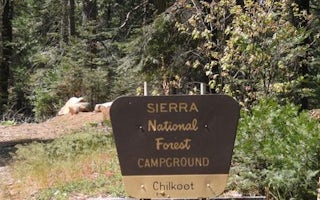
Bass Lake, California
Chilkoot
Overview
Chilkoot is named for the creek that runs by the campground. The facility is shaded by a grove of Ponderosa pine, fir and cedar,...
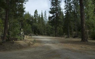
Oakhurst, California
Crane Valley
Overview
Crane Valley will be closed the entire 2019 - 2022 camping season due to a massive hazard tree removal Crane Valley Group Campgr...
Bass Lake, California
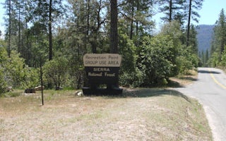
Recreation Point
Overview
Recreation Point is nestled in a partially shaded cove overlooking the northern end of Bass Lake. It offers tent-only, overnight...
Bass Lake, California
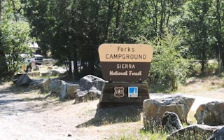
Forks Campground
Overview
Forks campground is located on a hillside overlooking Bass Lake. The camp is forested with cedar, ponderosa pine and oak trees a...
Unfortunately, we don't have up-to date pricing data for this listing, but you can check pricing through Recreation Gov.
Book NowAdd your business today to reach The Outbound's audience of adventurous travelers.
Community
© 2024 The Outbound Collective - Terms of Use - Privacy Policy


