Cave Creek, Arizona
Top Spots in and near Cave Creek
-
Scottsdale, Arizona
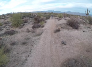
Bike the Pemberton Loop in McDowell Mountain Park
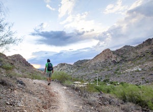
15.4 miThis is a 15.4 mile loop that has 879 feet of elevation gain and descent. We took this trail clockwise. The trail is very well marked and maintained. It starts out flat from the parking lot. Once you have made it across the road it begins to climb. You continue with a gradual climb until you've g...Read more -
Phoenix, Arizona
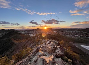
Shadow Mountain Loop
2.07 mi / 600 ft gainShadow Mountain Loop is a loop trail that takes you past scenic surroundings located near Phoenix, Arizona.Read more -
Glendale, Arizona
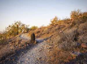
Run at Thunderbird Park
5.02 mi / 475 ft gainThis is a great spot to go for a quick run or a short hike if you're in North Phoenix. Thunderbird park is easily accessible with free entry and a number of picnic areas.There are 3 main hills with a variety of trail options to hike up/around each. From the top you'll find a nice view of valley...Read more -
Fountain Hills, Arizona
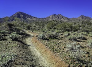
Hike the Dixie Mine Trail
2.05.5 mi / 591 ft gainThe MineDixie mine was established in 1877, when mining scouts noticed the large amount of quartz in the area. The Dixie Mine was sold many times throughout the 20th Century and was ruled no longer efficient in 1977 when it was sold to the McDowell Mountain Regional Park. The PetroglyphsThe area ...Read more -
Phoenix, Arizona
Shaw Butte Trail
5.04.22 mi / 866 ft gainThe Shaw Butte Trail is a short loop hike that leads you to the top of Shaw Butte in the Phoenix Mountains Preserve. Beginning from the trailhead on Central Avenue, The first section of trail follows a steady uphill service road to the top. Near the top you'll find an array of towers and a good...Read more -
Phoenix, Arizona
North Mountain Trail
4.71.42 mi / 571 ft gainBeginning from the start of the trail on 7th Street, this short hike can be a good quick workout that offers great views of the greater Phoenix area. Be aware that this hike is a fairly steep climb 600 feet to the top. Once you reach the summit of North Mountain you'll find great views of the...Read more -
Black Canyon City, Arizona
Explore Pueblo La Plata
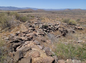
0.25 miPueblo La Plata is the largest ancient Indian ruin in Agua Fria National Monument and dates back to before 1200 A.D. The ruin at one time had 80 to 90 rooms for living quarters. Now the sight seems like just a pile of rubble. However there is significant research continuing on the mesa of Agua Fr...Read more -
Scottsdale, Arizona
Sunrise Trail to Sunrise Peak
4.83.73 mi / 1037 ft gainSunrise Peak, also known as Sunrise Trail, is located at the residential foothills of the McDowell Mountains in Scottsdale, Arizona. The trail will start next to a residential neighborhood, but after about a quarter mile you'll be immersed in the pristine Sonoran Desert. The trail will lead you t...Read more -
Phoenix, Arizona
Mojave Trail #200
4.51.88 mi / 430 ft gainThe entrance for the Piestewa Peak area is located at 2701 E. Squaw Peak Drive. The Mojave Picnic Area & Trailhead is the first parking area on the right. This is a very popular trail when the outside temps drop a bit so get there early for sunset hikes to ease parking. The trail begins on t...Read more -
Morristown, Arizona
Explore Lake Pleasant, AZ
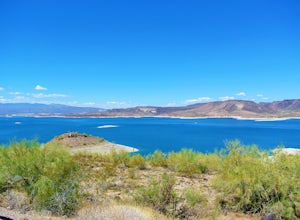
5.0Located just 30 minutes from the outskirts of Phoenix, AZ lies a 10,000 acre desert oasis known as Pleasant Lake Regional Park. This expansive body of water serves as a great opportunity to beat the heat of the central Arizona sun, while taking in the beauty of the vivid blue waters and surroundi...Read more -
Morristown, Arizona
Hike the Wild Burro Trail
4 mi / 112 ft gainHike along the shoreline of beautiful Lake Pleasant. This 4.0 mile out-and-back trail is worth its weight in beautiful views. The path is well maintained and perfect for beginner hikers who enjoy leisurely hikes while looking for wild burros. The Wild Burro trail starts with a small descent from ...Read more -
Phoenix, Arizona
Mojave Connector Trail #202
2.18 mi / 820 ft gainThe best starting point to access this hike is parking at the Mojave Picnic Area and heading up the Mojave Trail #200. At .4 miles, you will hit the junction and stating point for the Mojave Connector Trail. Head left at the saddle and begin a rapid ascent up switchbacks to a small flattened summ...Read more -
Phoenix, Arizona
Piestewa Peak Summit
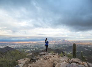
4.42.25 mi / 1050 ft gainPiestewa Peak, formerly known as Squaw Peak and conveniently located in the heart of the Phoenix metropolitan area, is a relatively short hike that yields impressive views of the city and is a perfect spot to watch the sunset. Piestewa Peak is a popular spot for locals who do not want to drive or...Read more -
Phoenix, Arizona
Freedom Trail Loop
5.03.8 mi / 1093 ft gainAs the third longest trail in the Phoenix Mountain Preserve, the Freedom Trail provides a great option for those looking for a longer hike, which can also be made even a bit longer by bolting on the Piestewa Summit hike along the way (adds 1.2 miles additional and a view from the top!). Many look...Read more -
Phoenix, Arizona
Ruth Hamilton Trail
3.32 mi / 981 ft gainRuth Hamilton Trail is an out-and-back trail where you may see beautiful wildflowers located near Phoenix, Arizona.Read more -
Phoenix, Arizona
Quartz Ridge Trail
4.52.29 mi / 509 ft gainQuartz Ridge in the Phoenix Mountain Preserve (also known as Trail 8A) is a great escape getaway trail that can be done as a single track or combined with many intersecting trails. It is a very popular trail for hikers, trail runners, pet walkers, sky gawkers and more! The trailhead sits in a sm...Read more

