Happy Jack, Arizona
Looking for the best photography in Happy Jack? We've got you covered with the top trails, trips, hiking, backpacking, camping and more around Happy Jack. The detailed guides, photos, and reviews are all submitted by the Outbound community.
Top Photography Spots in and near Happy Jack
-
Sedona, Arizona
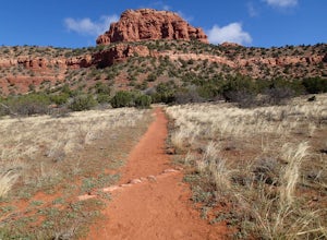
Mescal Mountain Loop
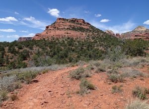
4.59 mi / 453 ft gainThe Mescal Mountain Loop Hike circles Mescal Mesa uses three different trails. Park at the Mescal Trail parking area on Long Canyon Road. The Mescal Trail is 2.4 miles long and winds up to the base of the mesa where it travels along beautiful open slick rock. It is an easy hike but the trail is ...Read more -
Sedona, Arizona
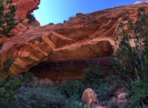
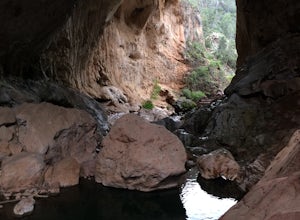
Hike to the Birthing Cave
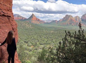
5.02 mi / 291 ft gainThe hike is an easy one, flat and not too long. In the spring you'll see lots of flowers. Note, the popularity of this Sedona cave has grown in the past year, so you will most likely encounter other hikers and mountain bikers. You start from the Long Canyon Trailhead, and I recommend going earl...Read more -
Flagstaff, Arizona
Climb Red Wagon at the Oak Creek Canyon Lookout
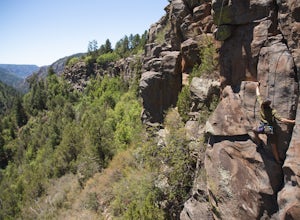
5.8, 80ft trad climb at the Oak Creek Canyon Lookout. To get there, take the 89A North from Sedona, or South from Flagstaff. Then you will see signs for the Oak Creek Canyon Lookout. Take the turn off and park in the lot. If you think you will stay beyond closing, park across the street so you d...Read more -
Flagstaff, Arizona
Climb Morning's Mourning at the Oak Creek Canyon Lookout
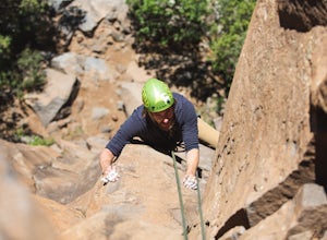
5.8+, 80ft trad climb at the Oak Creek Canyon Lookout. To get there, take the 89A North from Sedona, or South from Flagstaff. Then you will see signs for the Oak Creek Canyon Lookout. Take the turn off and park in the lot. If you think you will stay beyond closing, park across the street so you ...Read more -
Sedona, Arizona
Camp at East Pocket (Edge of the World)
4.7We love coming to this site in the Summer and Fall, but wanted to "test" our cold-weather gear before backpacking this Winter. So we went to our tried and true spot, with the comfort of our cars, so we could work out our layering and sleep system. Have a few cups of warm spiked cider and enjoy! T...Read more -
Sedona, Arizona
Dispersed Camping in Coconino National Forest (Edge of the World)
5.0This campsite is definitely out there. You'll take a dirt road into what seems to be a thick forest. Tell your GPS to put you on Woody Mountain Road in Flagstaff, AZ. Once you are on this road set your speedometer and follow this road for about 23 miles. Do not make any turns off of this road, th...Read more -
Sedona, Arizona
Hike the Boynton Canyon Trail
5.06 miThis is my favorite trail in all of Sedona. The trail head is at the end of Boynton Canyon rd near the entrance of Enchanted Spa and Resort. The trail goes along the property of Enchanted Spa for about 1 mile. This is the rockiest part of the trail as you pass by a large cliff.Soon after leaving ...Read more -
Sedona, Arizona
Fay Canyon Trail
3.82.56 mi / 666 ft gainLocated on the outskirts of Sedona's main attractions, Fay Canyon is a hidden gem. The Fay Canyon Trail is an easy, scenic hike that takes you through this lesser-known Sedona canyon. You won't see majestic open views like those of Bell Rock, but you will find gorgeous views, without the crowds. ...Read more -
Sedona, Arizona
Fay Canyon Arch
4.51.5 mi / 361 ft gain...The hike through Fay Canyon goes 1.25 miles to Box Canyon and is rated easy to moderate. To see Fay Canyon Arch though is a much shorter hike. From Boynton Pass Rd, park at Fay Canyon parking lot. The parking lot offers restrooms and a few picnic tables to relax at. The start of the trail is d...Read more -
Payson, Arizona
Water Wheel & Ellison Creek Cascades
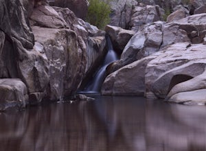
4.91.76 mi / 272 ft gainA short and easy out and back hike for adventurers of all ages with scenic waterfalls along the entire trip! Starting at the Water Wheel day use area you will simply follow the well traveled path that meanders alongside the creek. You will reach the first significant waterfall within minutes whi...Read more -
Sedona, Arizona
Hike the Cockscomb Trail
1.5 mi / 330 ft gainThis is a wonderful less traveled trail that is fairly easy hiking, at least until you reach the base of the Cockscomb. It does not have much shade. I recommend hiking this trail late afternoon into sunset as the trail weaves between Doe Mountain and the Cockscomb on the west side. The setting su...Read more -
Coconino County, Arizona
Camp at Knoll Lake
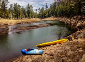
5.0The Campground is seasonal and is located on the left just before the lake. There are 33 well-developed units that offer fire-rings, grills, drinking water and vault toilets. No reservations are accepted and you will need to check in with the camp host. From central Phoenix, take Loop 202 east to...Read more -
Sedona, Arizona
Hike to Bear Mountain
5.06 mi / 2000 ft gainBear Mountain is one of the more difficult hikes in Sedona but has very easy access. There is a parking area between Doe Mountain and Bear Mountain. The trailhead is across the street and the initial approach is very flat. The red rock bluff you first see on the approach is only part of B...Read more -
Pine, Arizona
Hike the Pine Creek Loop in Tonto Natural Bridge SP
4.71.8 mi / 300 ft gainThere is a fee to enter this area. It was $7 when we went. There are 4 trails with many viewpoints from the parking lot, all of which are out and back. We followed the recommendation of the ranger working at the visitor's center and took the Gowan Trail down to the observation deck located in the...Read more -
Flagstaff, Arizona
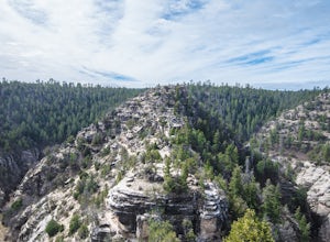
Hike the Island Trail, Walnut Canyon
3.41 mi / 200 ft gainThe trail is a short one - stretching only a mile in length. The only semi-strenuous portion of the trail is at the beginning and end where you start by descending a set of stairs in order to reach the trail that loops around the historic cliff dwellings. Since this is a loop trail, the same set ...Read more -
Flagstaff, Arizona
Hike the Rim Trail at Walnut Canyon National Monument
4.00.7 miHike the trail starting from the visitor center and take your time walking along the rim. Be sure to admire the canyon below and the ancient dwellings in the canyon walls. During the right season, there are also beautiful wildflowers along the way. This trail is partially paved and easy to walk.Read more

