Arizona
Find local adventures, unique places to stay, and local adventure tours in iconic destinations like The Grand Canyon, Sonoran desert, Phoenix, and more. Discover desert adventures across the state like, hiking, backpacking, rafting, and more.
Top Spots in and near Arizona
-
Tucson, Arizona
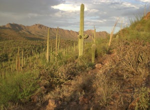
Hike the Brown Mountain Trail
4.04.2 mi / 500 ft gainI really enjoyed this hike. I recommend doing the hike as an out and back from the Kinney Road parking area. Also, the best time to hike is just before sunset. The hike is just over 4 miles total out and back with only about 500 feet of elevation gain. It has a climb at the beginning then rolls a...Read more -
Sedona, Arizona
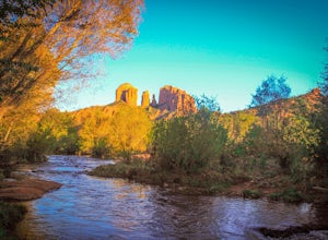
Explore Crescent Moon Ranch
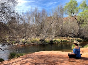
Crescent Moon Ranch was established in the 1880's, and now serves as a day use facility for the U.S. Forest Service. It lies on Oak Creek directly below Cathedral Rock, one of the most iconic towering monuments in Sedona. The ranch is beautiful, and is popular for picnic's, swimming, hiking, and ...Read more -
Grand Canyon Village, Arizona
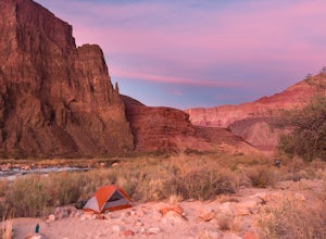
Backpack the Tanner Trail in Grand Canyon National Park
18 mi / 4900 ft gainThe trip requires a backcountry permit for zone BB9 (reserve HERE). Backcountry permits in Grand Canyon National Park are available for reservation on the 1st of the month 4 months prior to your trip date (e.g. if you wanted to go on a trip on May 20 you could reserve your permit on January 1st)....Read more -
Buckeye, Arizona
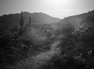
Hike Valley Vista from Turnbuckle Trail
5.02 miThe Valley Vista trail is a short hike in Skyline Regional Park, located in the southern region of the White Tank Mountains west of Phoenix. From the top you'll have a great view of the Estrella Mountain Range and the southwest valley. For the most direct route, take the Turnbuckle trail. This...Read more -
Yavapai County, Arizona
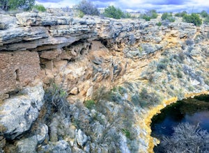
Hike to Montezuma's Well
5.00.5 mi / 117 ft gainThis trail takes you to the rim of Montezuma Well, a massive collapsed limestone sinkhole. The springs at the bottom of the sinkhole feed a large pond which supports a unique aquatic habitat in this dry landscape. Scientists are still baffled as to the origin headwaters of the water within this c...Read more -
Scottsdale, Arizona
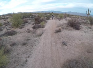
Bike the Pemberton Loop in McDowell Mountain Park
15.4 miThis is a 15.4 mile loop that has 879 feet of elevation gain and descent. We took this trail clockwise. The trail is very well marked and maintained. It starts out flat from the parking lot. Once you have made it across the road it begins to climb. You continue with a gradual climb until you've g...Read more -
Sonoita, Arizona
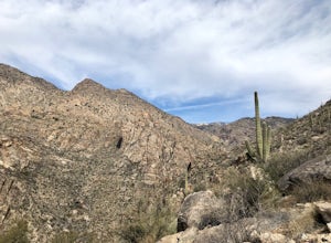
Hike to Hutch's Pool
5.07.8 mi / 647 ft gainStart at the Sabino Canyon trailhead - you can either walk up the dirt road (which adds about 4 miles) or take the $10 tram from the Visitor Center and hop off at the last stop #9. From there you hike 2.5 miles into Sabino Canyon into the basin (beautiful views of the canyon all the way there). O...Read more -
Waddell, Arizona
Hike Mesquite Canyon Trail
13 mi / 1394 ft gainThis is a great place to begin your hike in the White Tank Mountains. From the Ramada Way area, the trail begins to lead steadily into a small canyon. As you get further up, the trail will begin get more steep. After a short time it leads up to the first saddle and wraps around a ridge and bec...Read more -
Black Canyon City, Arizona
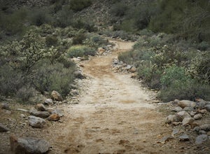
Hike the Badger Spring Wash Trail
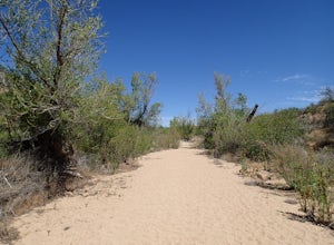
3.54 miBadger Spring Wash is a dry stream bed most of the year. This trail starts from the Badger Spring Trailhead just off Route 17 north from Phoenix. The trail follows the stream bed, sometimes in or along side for 1.5 miles. At about one mile, you reach the spring and a good amount of water which is...Read more -
Flagstaff, Arizona
Snowshoe at the Arizona Nordic Village
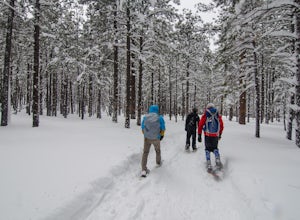
2.5 miTo get to the Nordic Village from Flagstaff, just take the 180 North until you see the signs for the Nordic Village (on your right).Once at the Nordic Village, go inside the entrance building to buy your day pass ($10 for a snowshoeing day pass) and rent your gear. Feel free to bring your own sn...Read more -
Navajo County, Arizona
Blue Ridge Cave Trail
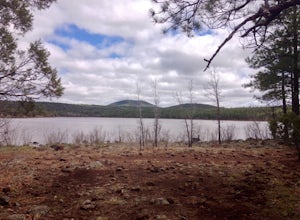
6.8 mi / 554 ft gainRight off Arizona Highway 260 at Porter Mountain Rd., you'll find this easy out-and-back hike that will wind you past Scott Reservoir to an ancient lava tube cave. To access the trailhead, take Porter Mountain Rd. for one mile off Highway 260, the parking area is easily visible about 0.1 mi past...Read more -
Flagstaff, Arizona
Hike the Soldier's Trail
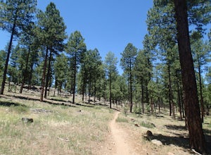
5.05.6 mi / 300 ft gainThis trail was named in honor of the military troops that trained here during World War II. Keep in mind, this loop trail is at 7000 feet, so if you are driving up from Phoenix or even Sedona, you may feel a little winded. However, there is no serious climbs on this hike so you may feel no diffe...Read more -
Mesa, Arizona
Kayak the Lower Salt River
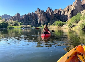
5.0It's not an Arizona summer without time spent on the Salt River! And there's no better way than by kayak. Summertime on the Lower Salt is full of people, mostly in tubes and on SUP's. Getting on the river in the early hours of the morning help avoid some of the crowds. The best launch point by...Read more -
Sedona, Arizona
Hike the Oak Creek Trail
4.51.1 mi / 26 ft gainGreat, short hike in Red Rock Crossing. Make sure to check out the hundreds of cairns at Buddha Beach. Beautiful views of Cathedral Rock. Lots of places to relax and have lunch, with picnic tables near the parking lot. Lots of parking, good amount of shade down near the creek. Good for all sk...Read more -
Holbrook, Arizona
Hike the Giant Logs and Long Logs trail to the Agate House
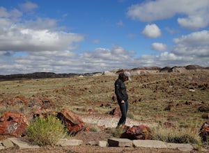
4.03 miBoth trails begin from the Rainbow Forest Museum located at the southern entrance of the National Park. Start with the Giant Logs trail which will take you on a short .4 mi paved loop through magnificently colored wood. Make sure to stop at the top of the trail by "Old Faithful" which is almost 1...Read more -
Cochise, Arizona
Hike the Cochise Stronghold Trail
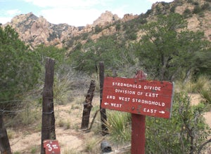
4.012 mi / 1200 ft gainTake Rt. 10 east toward Benson and onto Cochise. Follow the sign to Pearce then to Sunsite. Take Ironwood Rd., Forest Rd. 84, for about 12 miles to the Stronghold Campground. Cochise Stronghold is about 1 hour from Tucson and well worth the drive. This is an out and back hike which makes for a lo...Read more

