Arizona
Find local adventures, unique places to stay, and local adventure tours in iconic destinations like The Grand Canyon, Sonoran desert, Phoenix, and more. Discover desert adventures across the state like, hiking, backpacking, rafting, and more.
Top Spots in and near Arizona
-
Sedona, Arizona
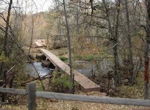
Hiking Kisva Trail in Red Rocks State Park
4.01.3 mi / 62 ft gainThis easy hike features a lovely creek and the beautiful red rocks of Sedona! This is a flat, shady, 1.3 mi hike and follows Oak Creek for a portion. Beautiful spots to stop and have a picnic or just relax and watch the birds. Lots of signage, and great to do with kids of all ages. If you’r...Read more -
Sedona, Arizona
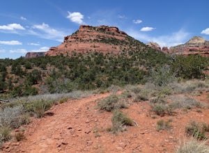
Mescal Mountain Loop
4.59 mi / 453 ft gainThe Mescal Mountain Loop Hike circles Mescal Mesa uses three different trails. Park at the Mescal Trail parking area on Long Canyon Road. The Mescal Trail is 2.4 miles long and winds up to the base of the mesa where it travels along beautiful open slick rock. It is an easy hike but the trail is ...Read more -
Buckeye, Arizona
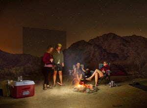
Camp in Sonora Desert National Monument
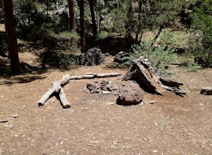
3.0Here you will find free camping on BLM land in the Sonora Desert National Monument (BLM page link). It's easy access from AZ 85. We took BLM road 8000, north of Gila Bend, into washy, sand roads and found easy dispersed camping within 20 minutes of the highway. There was no water here, and less c...Read more -
Mount Lemmon, Arizona
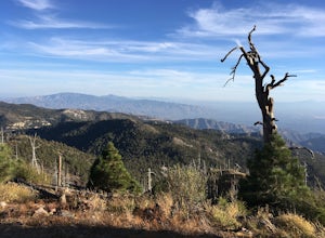
Hike Mint Springs Trail
5 mi / 2000 ft gainThis hike begins in the town of Summerhaven in Mount Lemmon, Tuscon AZ. This is after about an hour long drive up a 25 mile paved, winding road. Any car can access this trail-head easily. Once you reach Summerhaven, drive up Carter Canyon Rd. Park at the end of the road. Do not enter any private ...Read more -
Williams, Arizona
Hike the Kelsey Spring/Hog Hill/Dorsey Spring Loop
13.4 mi / 2200 ft gainThis hike starts at the Kelsey Spring Trailhead. Park at the end of Forest Service Road 538G. There is parking for about 6-7 cars. Just past the signage for the trail, which is also called Kelsey Winter Trail, there is a trail registration box. Be sure to sign in. The trail descends steeply for t...Read more -
Apache Junction, Arizona
Hike to Praying Hands in Lost Dutchman State Park
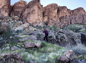
4.04.3 mi / 954 ft gainBegin your hike in the Cholla parking lot, and start Treasure Loop Trail (this is the north side of the loop, heading east). Once you get to the base of the main cliffs, and the trail starts to veer to the right, this is where you branch off. Instead of veering right, go straight and off to the...Read more -
Tucson, Arizona
Catch a Sunset on "A" Mountain
4.00.3 mi / 250 ft gainIn 1910 a group of University of Arizona students took local basalt rock and constructed a 160' block "A" on the east face of Sentinel Peak overlooking Tucson, giving the prominent peak its most commonly known name. Now the area is part of the 272 acre Sentinel Peak Park, and features a great net...Read more -
Flagstaff, Arizona
Hike the Lava Flow Trail at Sunset Crater Volcano National Monument
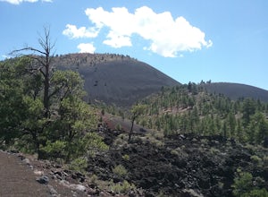
5.01 miGet started on the hike from the parking lot. The first quarter mile is paved and very easy to walk. The rest of the trail takes you to the base of the volcano through lava flows and tubes. This is an incredible landscape to take in along your hike.Read more -
Yuma County, Arizona
Hike to Signal Peak at Kofa
3 mi / 2100 ft gainKofa National Wildlife Refuge near Quartzsite, Arizona is a must see when visiting the area. The refuge encompasses over 600,000 acres with a large population of bighorn sheep. One of the most prominent features are the Kofa Mountains and the towering 4,877 foot Signal Peak. I followed the GPS co...Read more -
Black Canyon City, Arizona
Explore Pueblo La Plata
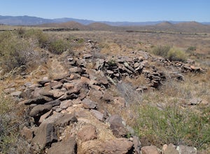
0.25 miPueblo La Plata is the largest ancient Indian ruin in Agua Fria National Monument and dates back to before 1200 A.D. The ruin at one time had 80 to 90 rooms for living quarters. Now the sight seems like just a pile of rubble. However there is significant research continuing on the mesa of Agua Fr...Read more -
Flagstaff, Arizona
Hike the Two-Spot Loop Trail
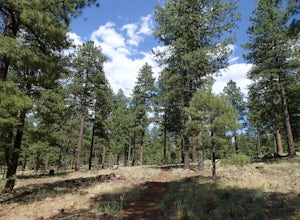
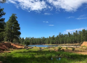
2.5 mi / 100 ft gainThis loop trail has two different starting points. You can start at the south end of Rogers Lake (which is what I did) or the north end. I hike in a clockwise direction. This is recommended if you are hiking in the late afternoon as I did. The sun will be at your back during the section that has ...Read more -
Nutrioso, Arizona
Hike to Escudilla Mountain Lookout Tower
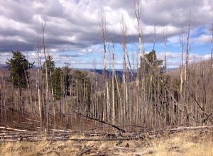
6 mi / 1300 ft gainAlready starting off at elevation (about 9,560 feet above sea level), you first travel through a large stand of aspen trees during the beginning third of the trail.Depending on the season, the aspen can provide pleasant cover in summer, miraculous colors in fall and eerie creaking as the wind flo...Read more -
Flagstaff, Arizona
Frisbee Golf at McPherson's
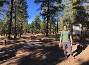
1 miMcPherson's is a public disk golf course five minutes north of downtown Flagstaff. The course is seasonally open from May - November. There are no tee times, and it is free to play. A somewhat tightly wooded 18-hole course with multiple pin placements makes this fun for beginners and a challenge...Read more -
Rogers Trough Trailhead, Arizona
Hike Rogers Canyon Trail
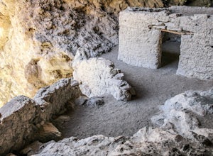
5.08 mi / 1108 ft gainThe Superstition Wilderness is a vast rugged landscape where you can find the cultural remains of ancient Hohokam, Salado, Apache, and Yavapais tribes. Rogers Canyon Trail takes you to one of the most impressive and best preserved archaeological sites this region has to offer. These Salado ruin...Read more -
Coconino County, Arizona
Hike Woods Canyon Lake Loop Trail
5.03.7 mi / 154 ft gainThis hike is a ~4 mile heavily trafficked loop trail that circles Woods Canyon Lake, on the beautiful Mogollon Rim. Peaceful and easy, this trail is suitable for all skill levels, and is great for families looking to spend a bit of time in nature. The trail follows the shoreline closely, and fo...Read more -
Flagstaff, Arizona
Hike the Wupatki Pueblo Trail
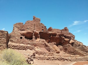
5.00.4 mi / 85 ft gainStart your hike from the visitor center and walk the path down to the different ruins. Take time to explore the ruins and admire the surrounding scenery. The path is rather uneven in certain places and require some caution.Read more

