Arizona
Find local adventures, unique places to stay, and local adventure tours in iconic destinations like The Grand Canyon, Sonoran desert, Phoenix, and more. Discover desert adventures across the state like, hiking, backpacking, rafting, and more.
Top Spots in and near Arizona
-
Prescott, Arizona
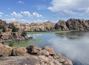
Watson Lake and Flume Trail Loop
4.63 mi / 381 ft gainThe Watson Lake and Flume Trail is a 4.5 mile loop hike that takes you next to Watson Lake near Prescott, AZ. This trail also makes for a great workout if you throw on your running shoes. Keep in mind there is no shade, so pack water and sunscreen accordingly. Thinking about getting on the wate...Read more -
Scottsdale, Arizona
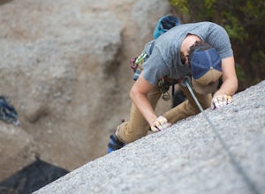
Climb Girlie Man Near Tom's Thumb
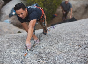
5.9+ 3 bolt slab. About 65ft. To get there you will start on the Tom's Thumb Trail for about .1 mi. Then take the Mesquite canyon trail left (SE) for .2mi. It will connect with the Feldspar trail. Turn left (E) and continue on until you see the climber access sign. Continue on the well marked tra...Read more -
Tucson, Arizona
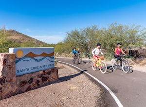
Bike The Loop at The Santa Cruz River Park
22 mi / 500 ft gainThe Loop is an in-development series of shared-use, hard-surface paths meant to connect all of Tucson by following the Santa Cruz River and its major tributaries. The Santa Cruz River Park contains 22 miles of The Loop (with another 40 in development) that runs along the western shore of the Sant...Read more -
Scottsdale, Arizona
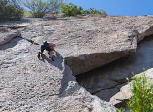
Climb Hanging Garden's on Gardner's Wall
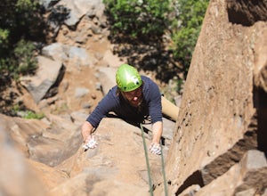
This is a 2 pitch 5.6 trad climb. About 130 feet in total. Access the Hanging Garden's climbing area off of the Tom's Thumb Trail. About half way up the trail you will see signage for "Rock Climbing Access Route." On the sign you will see an arrow pointing towards Gardner's Wall. This is the dire...Read more -
Sedona, Arizona
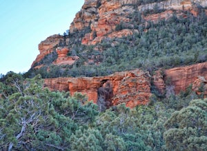
Devil's Bridge via Chuck Wagon Trail
5.05.75 mi / 738 ft gainDevil's Bridge via Chuck Wagon Trail is an out-and-back trail near Sedona, Arizona. This trail will take you to the largest natural sandstone arch in the Sedona area. Note: this trail permits dogs on-leash, but the steepness and footing can make it challenging and therefore not recommended for ...Read more -
Flagstaff, Arizona
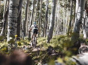
MTB the Hart Prairie Loop
15.2 mi / 1198 ft gainThis outstanding loop takes in high altitude meadows, aspen glades, fabulous evergreen forest, and unbelievable views in the San Francisco Peaks. The ride lacks any technical challenges, but long and consistent uphill grades (at high elevation) make for a good workout. The reward is an ending tha...Read more -
Ajo, Arizona
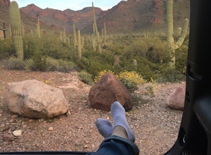
Camp at the Alamo Canyon Campground
The Alamo Canyon campground is the closest campsite to the northern entrance of Organ Pipe National Monument, but this monument near Ajo, Arizona remains only lightly trafficked. Organ Pipe cacti dominate the landscape, but hikers and campers can enjoy a variety of lizards, birds and other wildli...Read more -
Tucson, Arizona
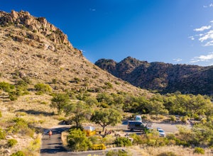
Camp at Molino Basin
0 mi / 0 ft gainMolino Basin Campground is the only campground of the Catalina District of the Forest Service to be open year round due to its lower elevation at only 4500'. Its position along the Mount Lemmon Highway makes Molino Basin a perfect basecamp for further adventures in the Santa Catalina Mountains, a...Read more -
North Rim, Arizona
Phantom Ranch to Ribbon Falls via North Kaibab Trail
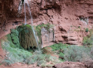
11.98 mi / 3320 ft gainPhantom Ranch to Ribbon Falls via North Kaibab Trail is an out-and-back trail that takes you to stunning Ribbon Falls in Grand Canyon National Park located near North Rim, Arizona. This trail makes for a long hike especially if doing it one day, so be sure to pack plenty of water, snacks, and sun...Read more -
Scottsdale, Arizona
Climb Sphincter Boy Near Tom's Thumb
5.9 trad route. About 60ft. Can be set up as a Top Rope. To get there you will start on the Tom's Thumb Trail for about .1 mi. Then take the Mesquite canyon trail left (SE) for .2mi. It will connect with the Feldspar trail. Turn left (E) and continue on until you see the climber access sign. Cont...Read more -
Flagstaff, Arizona
Climb Red Wagon at the Oak Creek Canyon Lookout
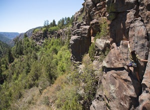
5.8, 80ft trad climb at the Oak Creek Canyon Lookout. To get there, take the 89A North from Sedona, or South from Flagstaff. Then you will see signs for the Oak Creek Canyon Lookout. Take the turn off and park in the lot. If you think you will stay beyond closing, park across the street so you d...Read more -
Flagstaff, Arizona
Climb Morning's Mourning at the Oak Creek Canyon Lookout
5.8+, 80ft trad climb at the Oak Creek Canyon Lookout. To get there, take the 89A North from Sedona, or South from Flagstaff. Then you will see signs for the Oak Creek Canyon Lookout. Take the turn off and park in the lot. If you think you will stay beyond closing, park across the street so you ...Read more -
Maricopa County, Arizona
Second Water To Boulder Canyon Camp
9.12 mi / 951 ft gainSecond Water To Boulder Canyon Camp is an out-and-back trail where you may see beautiful wildflowers located near Tortilla Flat, Arizona.Read more -
Willcox, Arizona
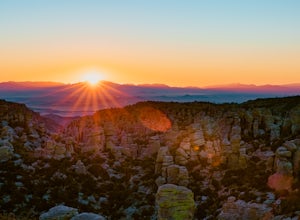
Massai Point Overlook
5.00.43 mi / 56 ft gainMassai Point Overlook is a loop trail that provides a good opportunity to view wildlife located near San Simon, Arizona.Read more -
Coconino County, Arizona
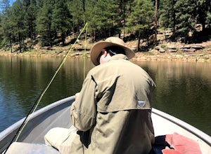
Fish Woods Canyon Lake
You can rent a charming metal fishing boat at the Woods Canyon Lake Marina, or bring your own (if you’re bringing your own boat, make sure you bring a PFD too, as it’s Arizona law). Note that gas motors are NOT permitted on boats (only trolling motors). This makes it an incredibly quiet experie...Read more -
Phoenix, Arizona
Lost Ranch Ruins Trail to Lost Ranch Mines Trail Loop
5.04.97 mi / 1184 ft gainLost Ranch Ruins Trail to Lost Ranch Mines Trail Loop is a loop trail where you may see wildflowers located near Phoenix, Arizona.Read more

