Arizona
Find local adventures, unique places to stay, and local adventure tours in iconic destinations like The Grand Canyon, Sonoran desert, Phoenix, and more. Discover desert adventures across the state like, hiking, backpacking, rafting, and more.
Top Spots in and near Arizona
-
Phoenix, Arizona
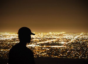
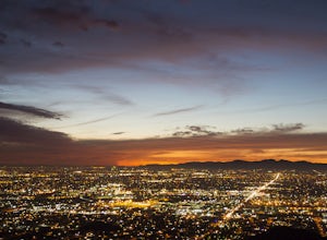
Hike Holbert Trail to Dobbins Lookout
4.04.1 mi / 1135 ft gainDobbins lookout is a popular high point in South Mountain Park that offers views of the entire Phoenix area. It's accessible by road or by trail with no entry fee. Consider going in the evening for the best views.If you plan to hike to the top, the shortest route is the Holbert trail. Take a l...Read more -
Phoenix, Arizona
North Mountain Trail
4.71.42 mi / 571 ft gainBeginning from the start of the trail on 7th Street, this short hike can be a good quick workout that offers great views of the greater Phoenix area. Be aware that this hike is a fairly steep climb 600 feet to the top. Once you reach the summit of North Mountain you'll find great views of the...Read more -
Apache Junction, Arizona
Drive Through The Apache Trail
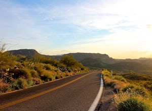
4.8Its about a 40 minute drive to the beginning of the trail from Phoenix, and the trail itself is close to a two hour drive, if you don't plan on stopping along the way. The beginning of the trail really begins at the Superstition Mountains, you'll see a sign that says you are entering the Tonto Na...Read more -
Sedona, Arizona
Courthouse Butte Loop
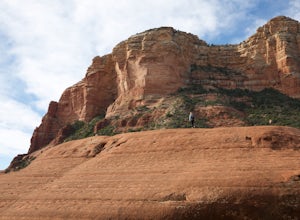
5.03.83 mi / 331 ft gainWhile most people stop to hike the Bell Rock Trail, you can get away from the congestion and madness by tackling the nearby Courthouse Butte trail. This moderate hike is 4.5 miles roundtrip over relatively flat ground on a well maintained trail. To get to the trailhead, park in the Courthouse V...Read more -
Flagstaff, Arizona
Camp at Ashurst Lake
Ashurst Lake is South East of Flagstaff and not too far from Mormon Lake. It's an easy drive that any car can do. There is a a short section of well-maintained dirt road. Keep in mind the current fire regulations for the area as well as the lake's water level if you're panning to launch your boat...Read more -
Page, Arizona
Explore Canyon X
5.01 mi / 100 ft gainCanyon X is just a little further than Antelope if you are coming from page. If you want to avoid crowds and tour buses, check out the three incredible caves Canyon X has to offer. There is only one company that does Canyon X tours as it Native owned. You can make a reservation here. When you...Read more -
North Rim, Arizona
Bright Angel Point
4.30.86 mi / 361 ft gainThe trailhead begins at the North Rim Lodge/Visitor Center that rests of the edge of the Grand Canyon and heads east until you reach Bright Angel Point a half mile later. It's connected to the large outdoor patio where visitors are allowed to relax and enjoy a beer in the evening or cup of coffe...Read more -
Grand Canyon Village, Arizona
Camp at Mather Campground, Grand Canyon NP
4.5Mather campground provides forest camping at its best while visiting the beautiful South Rim of the Grand Canyon. Spacious RV, tent, group and even horse sites are available in this well kept facility. The area also provides clean restrooms, water, dump station and showers (additional cost) if yo...Read more -
Sedona, Arizona
Hike or Bike Secret Slickrock Trail
5.00.8 mi / 107 ft gainWanting a short and sweet sunset or sunrise spot in Sedona away from some of the crowds? This easily accessible trail is great for people wanting picnics, a quick photography spot (we saw a couple from their wedding doing a photo shoot here), and a cool spot to watch the sun rise or set with the ...Read more -
Winslow, Arizona
Deep Water Soloing at Clear Creek
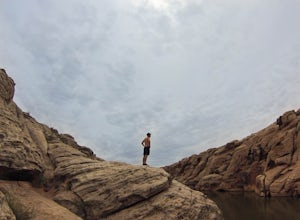
5.0For the best deep water soloing, go left after unloading the canoes or kayaks. At first, you might see a lot of people, but the further you paddle, the calmer and more peaceful it gets!Getting there: North on I-17, exit 285 at Camp Verde and go East on Hwy 260 then North on AZ 87. Turn right onto...Read more -
Sedona, Arizona
Hike the Boynton Canyon Trail
5.06 miThis is my favorite trail in all of Sedona. The trail head is at the end of Boynton Canyon rd near the entrance of Enchanted Spa and Resort. The trail goes along the property of Enchanted Spa for about 1 mile. This is the rockiest part of the trail as you pass by a large cliff.Soon after leaving ...Read more -
Sedona, Arizona
Hike Doe Mountain
5.01.4 mi / 400 ft gainThe trail begins almost immediately with some gradual switchbacks that climb up the mesa at a moderate incline. As you climb you will come to a trail junction with the Aerie trail about .3 in. At this junction just make sure to stay on the trail marked towards Doe Mountain and not on the Aerie tr...Read more -
Pinal County, Arizona
Photograph Elephant Arch
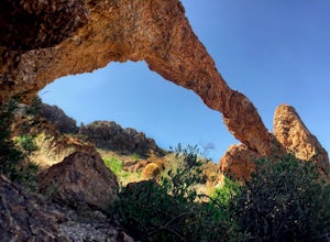
4.00.4 mi / 250 ft gain...For this very short stroll to Elephant Arch, I'd like to clarify that it's more of a sightseeing and/or photo opportunity trip than a hiking trip. It's so close that it can be seen from the side of the road. So just forewarning! Nonetheless, if you love natural wonders then it's a landmark you...Read more -
Page, Arizona
Hiking the Ropes Trail in Page Arizona
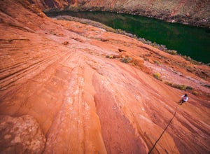
5.0The Ropes Trail is an old hiking trail below Glen Canyon Dam that has long since been abandoned by the park service. It is also one of the few trails that leads down the steep walls into the canyon. Let me say that again, it's steep. Getting there Take Highway 89 from Page going north and take th...Read more -
Tonto Basin, Arizona
Hike to Brown's Peak
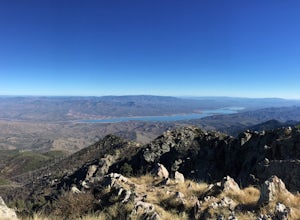
5.06 mi / 1957 ft gainStarting at the trailhead you will begin hiking through oak trees and forest. At numerous times throughout the hike Roosevelt Lake can be seen to the northwest. Approximately 3 miles into your hike you will reach a small campsite in the saddle of the mountain. This is your turnaround point if you...Read more -
Grand Canyon Village, Arizona
Phantom Ranch via the South Kaibab & Bright Angel Loop
5.021.58 mi / 4314 ft gainThere are many ways in and out of the Grand Canyon but the most popular loop is to descend from the South Rim, heading down the steeper South Kaibab Trail and returning up via the easier Bright Angel Trail. Your adventure starts early to beat the sun (and get the views). After getting your permi...Read more

