Borrego Springs, California
Looking for the best hiking in Borrego Springs? We've got you covered with the top trails, trips, hiking, backpacking, camping and more around Borrego Springs. The detailed guides, photos, and reviews are all submitted by the Outbound community.
Top Hiking Spots in and near Borrego Springs
-
Julian, California
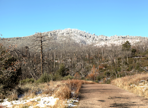
Hike Cuyamaca Peak
4.55.5 mi / 1700 ft gainThis peak is one of the tallest in the county. Reaching the summit of the peak takes you to an elevation of 6500'. Although this peak isn't as challenging as others nearby, it's located in the center of San Diego, which offers up amazing views, which is the main reason to take this hike. The best...Read more -
San Diego County, California
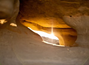
Exploring Anza Borrego's Wind Caves
4.8The drive to the caves is pretty lengthy, so be prepared.First you will drive through Anza Borrego State Park on Highway 78, then on a Split Mountain road which eventually turns into gravel road, and you need to look out for the entrance to the wash-road (which if you like to off road, is a perfe...Read more -
San Diego County, California
Hike Garnet Peak Trail
3.02.6 mi / 500 ft gainWhile there are a few trail options, the designated Garnet Peak Trail begins off of Sunrise Highway at Mile Marker 27.8. There is a small pull-off on the east side of the road with a sign denoting the trail. An Adventure Pass is required for parking in this area of Cleveland National Forest.The f...Read more -
San Diego County, California
Big Laguna Lake Loop
5.05.9 mi / 400 ft gainBig Laguna Lake Loop is a loop trail that takes you by a lake located near Pine Valley, California.Read more -
Mountain Center, California
Dunn Road
15.55 mi / 994 ft gainDunn Road is an out-and-back trail where you may see beautiful wildflowers located near Palm Springs, California.Read more -
Santa Ysabel, California
Three Sisters Falls
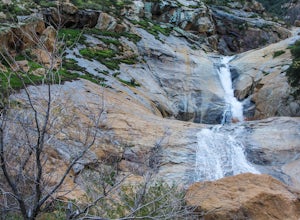
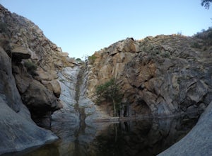
4.93.42 mi / 906 ft gainThree Sisters Falls is by far the best hike, for the most reward, that I've gone on in the close vicinity of San Diego. Only a short hour and a half drive from downtown San Diego, the hike offers all the draws of a National Park: remote wilderness, strenuous hiking, scenic mountain views, and ama...Read more -
Ramona, California
Explore the Sutherland Dam
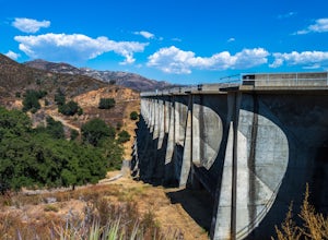
2.01 miOnce your on Sutherland Dam Rd, follow it until your right next to the dam. Park on the side of the road where you see a small turn-out. Walk down to the side of the dam and drop down onto the concrete flooring of the dam. Walk on-top where allowed, and check out the views of the lake and the mo...Read more -
Mount Laguna, California
Night Shoot at Mt. Laguna USAF Station
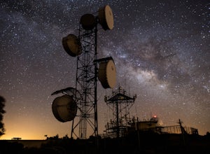
This is a great stop when passing through the Anza Borrego Desert. The drive is very scenic, and passes through Sunrise Highway. Once you turn off the road, it's a very short drive up the hill where you will find a large spot to leave your car. There is a service gate that you can't drive through...Read more -
La Quinta, California
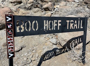
Boo Hoff Trail
12.7 mi / 2323 ft gainBoo Hoff Trail is a loop trail where you may see wildflowers located near La Quinta, California.Read more -
La Quinta, California
Hike to Lake Cahuilla
4.55.41 mi / 183 ft gainFrom Hwy. 111 take Washington (South) 3 miles to Avenue 52 (Turn Right). Take Avenue 52 a 1/2 mile to Avenida Bermudas (Turn Left). Follow Avenida Bermudas for 2 miles (becomes Calle Tecate). Cove Trailhead & Parking Lot located on the left across from Avenida Ramirez. You'll start heading ou...Read more -
Mount Laguna, California
Red Trail Roost and Agua Dulce Trail Loop
4.04.63 mi / 591 ft gainRed Trail Roost and Agua Dulce Trail Loop is a loop trail where you may see wildflowers located near Julian, California.Read more -
Ramona, California
Cedar Creek Falls
4.85.52 mi / 1024 ft gainThe trail to Cedar Falls starts out at a hill in a residential area and ends in an unexpected spot where there is a beautiful waterfall complete with a swimming hole. Surrounded by 75-foot-high cliffs, a magnificent waterfall splashes into a pool known as the Devil’s Punch Bowl. Hikers have been ...Read more -
San Diego County, California
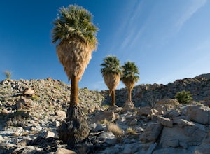
Hike to Mountain Palm Springs, Anza Borrego SP
3 mi / 350 ft gainAt first glance the Anza-Borrego desert appears lifeless, a wasteland of rocky plain peaks rising up from Carrizo Plains covered in Cholla cactus and Ocotillo. But one of the surprises is a mirage of California fan palm groves hidden in a series of canyons.The Mountain Palm Springs oasis loop is ...Read more -
Palomar Mountain, California
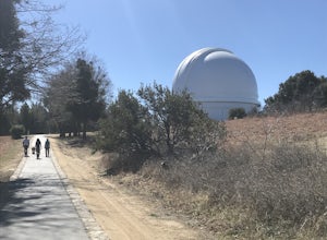
Hike to Palomar Observatory from the Palomar Observatory Campground
5.04.4 mi / 718 ft gainSituated in the Palomar Mountains of Cleveland National Forest, Palomar Observatory Campground offers many amenities for enjoyable camping and exploring the area. A portion of the campsites loop has been cleared of trees with level cement pads to allow campers to set up their own telescopes. Dr...Read more -
Mountain Center, California
Lion Peak Trail
9.39 mi / 1722 ft gainLion Peak Trail is an out-and-back trail that is moderately difficult located near Mountain Center, California.Read more -
Palomar Mountain, California
Hike Thunder Spring and Chimney Flat Loop
3.04 mi / 900 ft gainPalomar Mountain is the hidden gem of San Diego. Well, not so hidden per se- but most don't know that the little climb up the mountain can transport you from the prevalent brush-filled terrain of SD to a lush, diverse forest.The great thing about Palomar is that every day you visit could be compl...Read more

