Borrego Springs, California
Looking for the best hiking in Borrego Springs? We've got you covered with the top trails, trips, hiking, backpacking, camping and more around Borrego Springs. The detailed guides, photos, and reviews are all submitted by the Outbound community.
Top Hiking Spots in and near Borrego Springs
-
Palomar Mountain, California
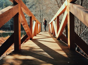
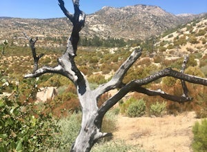
Hike to French Valley
5.03.8 mi / 450 ft gainWhen it comes to Palomar Mountain State Park, most people stick to Doane Lake and Upper Doane Valley. Yet on the far right of the parking lot at Doane Pond, there is actually a trailhead that will guide you to a completely different section of the park. The Lower Doane Valley trail is, in my opti...Read more -
San Diego County, California
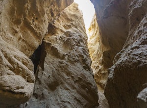
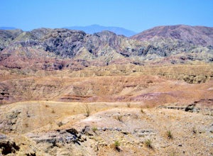
Hike Canyon Sin Nombre
4.05 mi / 750 ft gainThis slot canyon hike is found deep in the Anza-Borrego Desert State Park in Canyon Sin Nombre. If you have a suitable 4WD vehicle you can drive about 2.2 miles to the start of the slot otherwise you can hike down the sandy unpaved road. The entrance will be on your left and marked by metal posts...Read more -
Riverside County, California
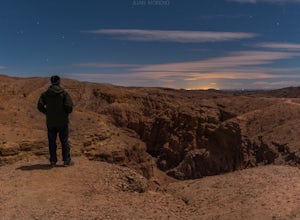
Night Hike Painted Canyon
Take Box Canyon Rd to Painted Canyon Road. Painted Canyon Road is a dirt road, so exercise caution. The road dead ends at the Painted Canyon Trailhead parking lot.Once on the trail, look out for markers and arrow rock piles pointing to the slot canyons and other trails. Some climbing is necessary...Read more -
Mecca, California
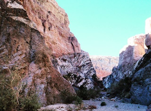
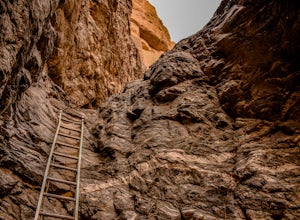
Hike the Ladder Canyon/Painted Canyon Loop
5.04 mi / 2215 ft gainFrom Interstate 10, take State Highway 195 (Box Canyon Road) to Painted Canyon Road. This well-maintained, dirt road goes for about 4 miles and leads into the sandy wash which runs the length of the canyon for approximately 1.7 miles. There are a few narrow side canyons which can be explored on f...Read more -
Mecca, California
Big Painted Canyon
3.61 mi / 541 ft gainBig Painted Canyon is an out-and-back trail that takes you past scenic surroundings located near Mecca, California.Read more -
Mecca, California
Hike Ladder Canyon in Mecca Hills
5.04.5 mi / 990 ft gainFrom Box Canyon Road turn on to Painted Canyon Road a dirt road that will lead you to the trailhead. From the trailhead start into the canyon. After a few hundred feet there will be rocks forming an arrow pointing you towards a ladder. Go up the ladder and follow the trail from here. There will b...Read more -
Mountain Center, California
Apache Peak Trail
9.4 mi / 2966 ft gainApache Peak Trail is an out-and-back trail where you may see wildflowers located near Mountain Center, California.Read more -
Palm Springs, California
Palm Canyon Trail
4.51.94 mi / 308 ft gainThe fifteen mile long Palm Canyon, one of the Indian Canyons, is among the most beautiful natural sites in Western North America. Its indigenous flora and fauna, expertly used by the Cahuilla people, and its abundant Washingtonia Filifera (California Fan Palm) stand in breathtaking contrast to th...Read more -
Palm Springs, California
Indian Canyon West Fork Trail
5.3 mi / 1545 ft gainIndian Canyon West Fork Trail is a strenuous out-and-back trail located near Palm Springs, California.Read more -
Palm Springs, California
Indian Potrero Loop Trail
8.67 mi / 1247 ft gainIndian Potrero Loop Trail is a strenuous loop trail located near Palm Springs, California.Read more -
Palm Springs, California
Coffman Trail from Andreas Canyon Rd
3.56 mi / 525 ft gainCoffman Trail, located in Palm Springs, California, is a popular hiking destination. The trail is approximately 3.56 miles long and is rated as moderate in difficulty. It begins at Andreas Canyon Road and winds its way up the mountainside, offering panoramic views of the surrounding desert landsc...Read more -
Palm Springs, California
Seven Falls via Murray Canyon Trail
4.01 mi / 587 ft gainA very scenic 4-mile round trip with a rewarding waterfall after a 2.5-mile hike/stroll. Lucky visitors may catch a glimpse of the Peninsula Big Horn Sheep (an endangered species), mule deer or other wild animals still roaming the high ground above the canyon. Less visited, Murray Canyon has its ...Read more -
Palm Springs, California
Andreas Canyon
5.01.03 mi / 154 ft gainAndreas Canyon in Indian Canyons is located very close to Palm Springs in the Agua Caliente band of Cahuilla Indians Reservation. It is one of the few places with abundant shade and running fresh water in an otherwise dry desert landscape. Enjoy a longer hike to a waterfall (Seven Falls) or stay ...Read more -
Campo, California
Kitchen Creek Falls Trail
4.04.83 mi / 722 ft gainKitchen Creek Falls Trail is an out-and-back trail that takes you by a waterfall located near Pine Valley, California.Read more -
San Diego County, California
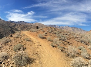
Hiking the Laguna Hills via the PCT
5.020 mi / 2000 ft gainThis trail is well-maintained, but gets a little rocky on the PCT, and the Chariot Fire burn-zone between Penny Pines and Hayes peak will have a few downed trees and some overgrown grasses. On the other hand, the trail network of the BLT is confusing to follow as the entire network is named "Big ...Read more -
Palm Springs, California
Murray Hill Loop
8.16 mi / 2260 ft gainMurray Hill Loop is a loop trail that takes you past scenic surroundings located near Palm Springs, California.Read more

