Bridgeport, California
Bridgeport, California is a true outdoor adventurer's dream. Come and explore the area's pristine natural beauty, historic sites, and amazing outdoor activities. From hiking and biking to camping and white water rafting, there's something for every type of adventurer. Enjoy the serene beauty of Mono Lake, or visit the Bodie Ghost Town for a unique experience. And don't forget to make time for birdwatching, an activity that's sure to delight. No matter what you love doing outdoors, Bridgeport, California promises incredible experiences and memories that will last a lifetime!
Top Spots in and near Bridgeport
-
Wawona, California
Dewey Point Trail
4.95 mi / 315 ft gainThis approximately 5-mile out-and-back trail is a great hike in Yosemite National Park. This trail starts off of Dewey Point's Meadow Trail, but you can also start from the Dewey Point Ridge trail, which you'll pass first when coming up Glacier Point Road. This trail is not dog friendly, but is a...Read more -
Mammoth Lakes, California
Sherwin Lakes Trail
5.04.42 mi / 850 ft gainJust outside the town of Mammoth Lakes, CA is the Sherwin Lakes Trailhead. An easy 10 minute drive down some dirt roads will get you to the dirt parking lot where you can safely leave your vehicle and begin your fairly easy 2.5 mile hike to Sherwin Lakes. (Valentine Lake is not much further beyon...Read more -
Mammoth Lakes, California
Valentine Lake via Sherwin Lakes Trail
5.09.76 mi / 2026 ft gainPark at the Sherwin Lakes Trailhead. Begin your ascent through scrubby foliage and old pines. Once you arrive at a junction with a bench, turn around. Note that the uphill climb is pretty decent past Sherwin Lakes, so if you're feeling overly winded after the arriving at these lakes, this may be...Read more -
Mariposa County, California
Hike Old Big Oak Flat Road
4.1 mi / 1070 ft gainOld Big Oak Flat Road used to be one of the main entries into Yosemite Valley, before HWY 120, 140 and 41. It was a dangerous road which had to be realigned, reconstructed and maintained continuously and was eventually closed in the 1940’s after a giant rockslide made it completely irreparable. T...Read more -
Mammoth Lakes, California
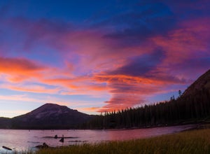
Photograph Lake Mary, Mammoth Lakes
4.0Lake Mary is the largest of the 11 lakes in the Mammoth Mountain area. Explore the lake’s perimeter and find your own perfectly peaceful place to watch one of Mammoth’s signature stunning sunsets. Parking is easy to come by either on the side of the road or at the marina parking lot up the road.B...Read more -
Tuolumne County, California
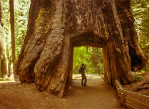
Tuolumne Grove of Giant Sequoias
4.22.67 mi / 653 ft gainThe Tuolumne Grove of Giant Sequoias is one of three sequoia groves in Yosemite National Park. This particular grove has gorgeous forest scenery and provides great solitude compared to the crowded Yosemite Valley. The trail used to be an old road offering a wide path with a gradual descent, makin...Read more -
Mammoth Lakes, California
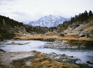
Hot Creek Interpretive Trail
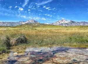
5.00.37 mi / 69 ft gainHot Creek Interpretive Trail is a loop trail that takes you by a hot springs and good for all skill levels located near Mammoth Lakes, California.Read more -
Mono County, California
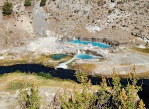
Hot Creek Geological Site
4.8Hot Creek Geological Site is a must see when you are in the Mammoth Lakes area. It is just West of Highway 395 and only minutes form the town of Mammoth Lakes, which has great food, a ski resort, world class mountain biking, and a brewery. Bishop is about 40 minutes South which is well known for ...Read more -
Mammoth Lakes, California
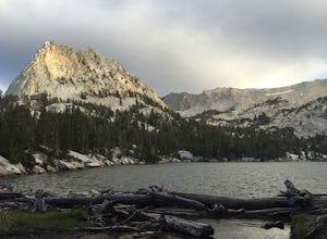
Crystal Lake via Mammoth Crest Trail
4.82.5 mi / 1257 ft gainIn Lake George, park along Lake George Road and walk towards Crystal Crag Trailhead sign to begin the hike. If you couldn't find it, you can head to the boat rentals by the lake and you will see a sign saying trailhead is behind you. The trail is well maintained and it is really easy to follow. ...Read more -
Mammoth Lakes, California
Lake George Trail
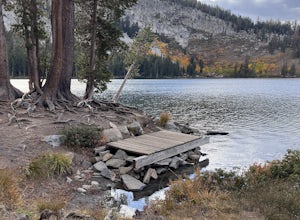
5.01.34 mi / 89 ft gainThe Lake George Loop is perfect for exploring the shoreline and fishing near the top of the Mammoth Lakes wilderness. The lake can get quite cold due to the elevation and surrounding mountains not allowing the sun to hit it for an extended time, but if you go during mid-day you should have a refr...Read more -
Mariposa County, California
Camp at Crane Flat Campground
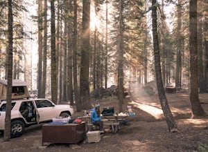
Crane Flat Campground is located on the Big Oak Flat Road (Highway 120) just west of Crane Flat, about 30 minutes northwest of Yosemite Valley. Sites are open July-October at $26/night. More info at https://www.nps.gov/yose/plany...Read more -
Mono County, California
Shepherd Hot Springs
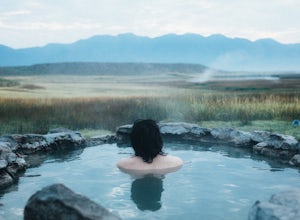
4.0Located a short distance from US 395 near Mammoth/Yosemite Airport, Shepherd Hot Spring provides a great opportunity to relax while taking in spectacular views of the Eastern Sierras and surrounding area. After a hard day on the slopes or long day on the trail this hot spring provides a comforta...Read more -
Bear Valley, California
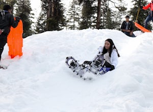
Snowshoe Bear Valley
5.0Bear Valley is a family friendly destination for snowshoeing and snow play. There are numerous trails to explore while snowshoeing. Don't be afraid to take a break and start a snowball fight! There are shops located near the resort to rent snowshoes and other snow play accessories. There are s...Read more -
Bear Valley, California
Ski or Snowboard at Skyline Bear Valley
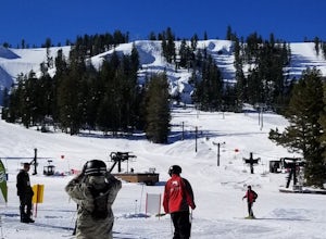
5.0Bear Valley is nestled in the high Sierra between Yosemite and Lake Tahoe. It is a popular destination for families and nature lovers. It boasts 1,900 vertical feet over 1680 acres for skiing and snowboarding. Winter is a popular time at Bear Valley. Most visitors come to ski or snowboard, but...Read more -
Mono County, California
Crab Cooker Hot Springs
Getting There: Take Highway 395 heading toward Benton Crossing Road. Turn onto Benton Crossing and you’ll see an adorable wee green church. Continue two miles down the road. You’ll make a left turn and head down a dirt road. Cell service is scant in this area, so you'll probably want to...Read more -
Yosemite National Park, California
Winter Backpack to Sentinel Dome in Yosemite
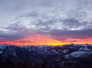
5.019.23 mi / 860 ft gainThe goal for our weekend was to do some winter camping in the Yosemite backcountry; we decided on Sentinel Dome as our destination. The trail is a cakewalk during the summer, but winter turns it into a 10 mile uphill grind from the car. Most people opt to head for the ski hut at Glacier Point, bu...Read more

