Calabasas, California
Looking for the best photography in Calabasas? We've got you covered with the top trails, trips, hiking, backpacking, camping and more around Calabasas. The detailed guides, photos, and reviews are all submitted by the Outbound community.
Top Photography Spots in and near Calabasas
-
Pearblossom, California
Snowshoe Buckhorn Ridge Trail
2.5 mi / 700 ft gainLocated 1 mile east of the Mt Waterman Ski Resort, Buckhorn Ski Hill is a great place to enjoy a leisurely stroll through a snow-covered forest, complete with views of towering Mt Waterman. To get here take I-210 toward La Canada, exit on to California Highway 2 (Angeles Crest Highway) heading no...Read more -
Pearblossom, California
Cooper Canyon Falls via Burkhart Trail
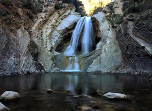
5.03.01 mi / 755 ft gainBurkhart Trail is well-defined and easy to follow through an unbelievable old growth of Jeffrey pines, incense-cedars and surprisingly, redwoods! At 0.25 miles, there is a steep spur trail near a large pile of boulders that leads to a popular swimming area, often frequented by guests of the campg...Read more -
Ojai, California
Climb at Wheeler Gorge
Grab a dozen quick draws, your 60m rope, and head up Highway 33 out of Ojai for 7 miles (One of the routes here describes the crag perfectly, a Riparian Daydream). Drive through one tunnel, and continue on for another mile or two until you reach two tunnels in quick succession. The crag is in bet...Read more -
Seal Beach, California
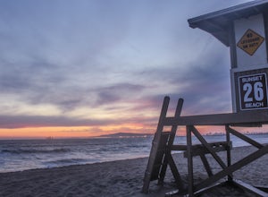
Sunset Beach
4.6Sunset Beach is located just 9 miles south of Long Beach and 6 miles North of Huntington Beach, CA on the famous Pacific Coast Highway 1. I accessed Sunset Beach from the South on I-405. I took exit 22 for Seal Beach. After the exit I turned a left/west on Seal Beach Blvd and drove for 2.6 miles ...Read more -
Huntington Beach, California
Bolsa Chica Ecological Reserve Trail
4.72.97 mi / 30 ft gainThe Bolsa Chica Ecological Reserve Trail is great for birding and wildlife viewing. If you want a longer hike, you can extend the mileage by heading down the riverbed trail. The trail is open year-round. Dogs are not allowed in Bolsa Chica. Bolsa Chica State Beach is easily accessible from Oran...Read more -
Maricopa, California
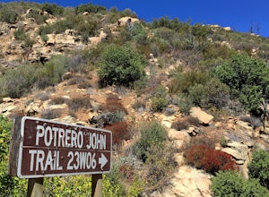
Potrero John Trail
5.03.51 mi / 627 ft gainThe Potrero John Trail is only 1.75 miles one-way, and is mostly used for hiking. It is right off Highway 33- driving north on the 33, the trailhead is on the right side of the street, right after the Potrero John Bridge (parking is fairly limited so the earlier you get there the better). There ...Read more -
Azusa, California
Lewis Falls
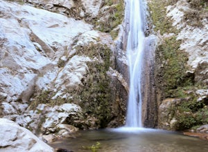
1 mi / 732 ft gainLocated deep in the Angeles National Forest above Azusa, this short but at times challenging hike rewards you with a beautiful fifty-foot waterfall. The base of the waterfall is only a foot at its deepest, so I wouldn't rush to bring a bathing suit with you. Protected by the heavy forestry around...Read more -
Los Angeles County, California
Mt. Williamson via Islip Saddle
4.16 mi / 1519 ft gainThe trailhead is immediately off of Angeles Crest Highway CA-2 at Islip Saddle. It's just a touch over 2 miles to reach the summit, through which you'll be hiking among the pine tree forest practically the entire way up (part of this trail doubles as the Pacific Crest Trail). The summit is larg...Read more -
Azusa, California
Little Jimmy Trail Camp
4.33.36 mi / 607 ft gainTake Hwy 2 out of La Canada north along Angeles Crest Highway. Follow this for quite some time enjoying the fine views in all directions. After traveling through two consecutive tunnels continue to the Islip Saddle parking lot (on left). There will be a vault toilet & a picnic table. Display ...Read more -
Pearblossom, California
Devil's Punchbowl and Devil's Chair
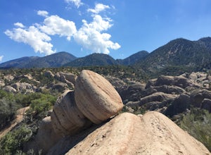
4.57.37 mi / 1870 ft gainWhat a hidden gem! A martian landscape full of faultline desert rock formations and joshua trees against a mountainous backdrop of the San Gabriels. Devil's Punchbowl Natural Area features a 1 mile well-marked, well-maintained single track loop trail inside the Punchbowl (great for kids) and a 7 ...Read more -
Ojai, California
Matilija Falls
5.08.6 mi / 0 ft gainNote: This trail is temporarily closed. For more updates, please visit the Forest Service website for more updates. ...If you've read most of my blogs, you'll probably notice I have a fascination for waterfalls! I've done this hike multiple times, but it wasn't until this day where I saw these ...Read more -
Ojai, California
Camp at Rose Valley
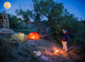
5.0Close to Ventura and Ojai, California, this spot is an easy weekend getaway from the hectic coast of Ventura. Follow Highway 33 east toward Ojai. This road will lead into the Los Padres National Forest and become very curved and sleep as it gets closer to Rose Valley. The sign for the Park with b...Read more -
La Verne, California
Marshall Canyon Trail
4.05.99 mi / 722 ft gainFor this adventure you can choose to start in a multiple of places; for the easiest parking use Oak Mesa Park located next to Oak Mesa Elementary School. From the parking lot cross the soccer field towards the bridge on the north east end of the school. Once across the bridge follow Los Robles ea...Read more -
Dawson Saddle, California
Hike to Throop Peak, Mt. Hawkins, and Mt. Burnham
8 mi / 2000 ft gainThe trailhead, or pair of trailheads actually, is at a location on the Angeles Crest Highway (CA-2) called Dawson's Saddle. There are a couple of parking areas along the side of the highway, and each of the pair of trailheads begins at either end of this parking area. The trailheads aren't mark...Read more -
La Verne, California
Cattle Canyon Trail
6.7 mi / 1066 ft gainWithin the San Gabriel Mountains from Highway 39 and along East Fork Road is Cattle Canyon. To go through Cattle Canyon, you can access the trail head just south of the Bridge to Nowhere trail head along East Fork Road right after it intersects with Glendora Mountain Road. There is a small parkin...Read more


