Calistoga, California
Looking for the best chillin in Calistoga? We've got you covered with the top trails, trips, hiking, backpacking, camping and more around Calistoga. The detailed guides, photos, and reviews are all submitted by the Outbound community.
Top Chillin Spots in and near Calistoga
-
Point Reyes Station, California
Sky Campground via Sky Trail
2.66 mi / 495 ft gainEntering Point Reyes National Seashore from Bear Valley Road the Sky Trailhead is a 4.9 mile drive. Camping in Sky Camp requires a Camping Permit. Once at the Sky Trailhead parking lot. The Sky Trailhead will be on the left side pulling in. The hike is not very strenuous and not all that lo...Read more -
Inverness, California
Hike the Estero Trail
5.08 mi / 200 ft gainJune sunshine blazes on your shoulders during this scenic stroll through the Point Reyes Seashore. The trail is alive and awash with colorful wildflowers around every corner.Beginning at the trailhead, just off Home Ranch Road, with a convenient parking lot and bathroom, you'll wade through a hal...Read more -
Inverness, California
Photograph the Cypress Tree Tunnel in Point Reyes
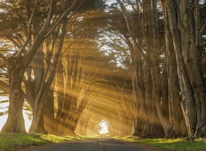
4.3Just north of San Francisco, there's a row of giant Monterey cypress trees that forms a “tree tunnel”. Loved by Bay Area locals, it's a tucked away spot in the Point Reyes National Seashore for photographers to capture early morning sun rays, or for anyone to get some moments of solitude. At the ...Read more -
San Geronimo, California
Roys Redwood Preserve Loop
5.02.37 mi / 430 ft gainRoy's Redwoods Preserve is an easily missed pocket of Redwoods off Nicasio Valley Road in Marin County. Don't miss it: heading North on Sir Francis Drake Blvd turn right onto Nicasio Valley Rd--the gate for this little park is about a half mile up on the right. From the main entrance you enter a ...Read more -
Lagunitas, California
Swim at the Inkwells
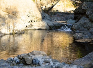
4.5These natural swimming holes are filled with water flowing from Kent Lake, so they're usually pretty refreshing. And by refreshing, we mean cold. We know this first-hand by testing the pools in the winter months. Let's just say if you can stay in for more than 5 seconds, you're a hero. If you jum...Read more -
Jenner, California
Hike the Central Trail
3.6 mi / 800 ft gainSalt Point State Park, about 90 miles north of San Francisco, features rugged, windswept coastline and dramatic forests of cypress, pine and redwoods. The Central Trail is a great way to experience much of the inland portion of the park including a unique highland Prairie where elk graze and are ...Read more -
Jenner, California
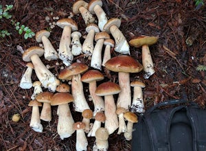
Bolete Mushroom Hunting
Salt Point State Park is a state park in Sonoma County, California, United States. The park covers 6,000 acres (2,400 ha) on the coast of Northern California, with 20 miles (32 km) of hiking trails and over 6 miles (9.7 km) of a rough rocky coast line including Salt Point which protrudes into the...Read more -
Jenner, California
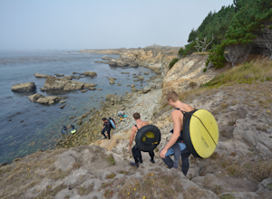
Abalone Diving at Salt Point State Park
5.0Jenner is a great spot to head out in calm water with your abalone gear. The dives will be in depths of 10 to 15 ft. of water, with visibility usually in the 5-20 ft. range. Spend a little time doing your homework before entering the water and you'll be able to find easier entry areas.When you he...Read more -
Jenner, California
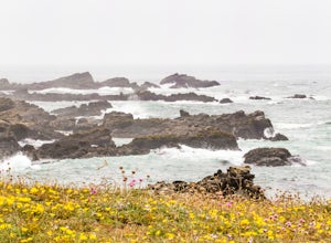
Hike the Salt Point Trail
3.73 mi / 100 ft gainThere are numerous points at which you can enter the trail from Highway 1, but on the north it begins as the Salt Point / Stump Beach Parking area and proceeds 1.2 miles to the Visitor Center (and south entrance) at the Gerstle Cove State Marine area, one of the first underwater state parks in Ca...Read more -
Jenner, California
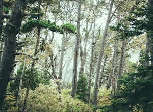
Hike the North Trail to the Pygmy Forest
4 mi / 800 ft gainSalt Point State Park, about 90 miles north of San Francisco, features rugged, windswept coastline and dramatic forests of cypress, pine and redwoods. The North trail is a great way to experience much of the inland portion of the park including the unique Pygmy Forest, named for the stunted trees...Read more -
Inverness, California
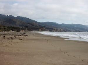
Walk along Limantour Beach
4.8The entire drive to Pt. Reyes is picturesque, but once you make it to Limantour, you and your dog can both get out and enjoy it! This area, between Drake's Bay and an estuary, allows you to spend time relaxing or head out for a run (keep the dog on leash). If you're lucky you might either get a c...Read more -
Richmond, California
Explore Point Pinole Shoreline
5.0Point Pinole Regional Shoreline is a 2,315-acre parkland that juts out into the San Pablo Bay. Only a brief car ride from San Francisco, this is a great spot for a Sunday stroll, picnic or simply to find a quiet space.There are several short trails to choose from that wind through eucalyptus grov...Read more -
Point Reyes Station, California
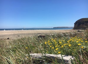
Drake's Beach, Pt. Reyes
5.0Named after the famed explorer, Sir Francis Drake, Drakes Beach is part of the scenic Point Reyes National Seashore. If you're looking to spend a day and an evening at the beach, grab some snacks and some firewood and head out to Drakes Beach. Key things to remember with the bonfire: Build th...Read more -
Lakeport, California
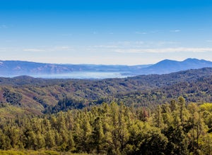
Camp at Red Mountain Campground
Red Mountain has 10 units, toilets, barbecue grates, and picnic tables. There is no potable water at this time.To get there, from Ukiah, exit U.S. 101 South at Talmage Road, then 1.5 miles east to Eastside Road. Turn right and proceed 0.3 mile to Mill Creek Road. Follow Mill Creek Road 5 miles to...Read more -
Richmond, California
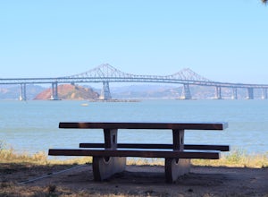
Picnic at Point Molate Beach Park
The beach park is very small but has sand along the shore for water access. Along the small cliffs of the beach there are picnic tables and grills for a nice cookout and family picnic. This beach would also be a great place for kayaking or standup paddle boarding as it is fairly secluded and away...Read more -
Marin County, California
Picturesque Views from Mt. Tam's East Ridge
5.0This road provides one of the most scenic views of the pacific from north of the Golden Gate. It's a little bit of a windy drive or ride along Highway 1 or Panoramic Highway (depending on which way you choose) to get to East Ridgecrest. But, if you remembered to pack a picnic, brought your friend...Read more


