Doyle, California
Looking for the best photography in Doyle? We've got you covered with the top trails, trips, hiking, backpacking, camping and more around Doyle. The detailed guides, photos, and reviews are all submitted by the Outbound community.
Top Photography Spots in and near Doyle
-
Calpine, California
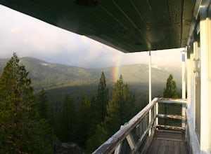
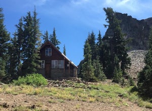
Camp at the Calpine Fire Lookout
5.0I think all explorers agree there is nothing more serene than being surrounded by nothing but wilderness. If you are one of these said explorers, a trip to Calpine's fire lookout is a must.Calpine is a forest fire lookout tower that was constructed in 1934 and is one of 3 remaining examples of th...Read more -
Reno, Nevada
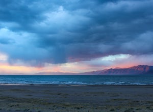
Camp at Tamarack Bay on Pyramid Lake
5.00.25 miPyramid Lake is the last remnant of the vast Pleistocene Lake Lahontan which reached its peak at the end of the last ice-age, being the terminus of many of the glaciers and ice sheets which covered much of California, Oregon, Idaho, and Nevada.Today it is an oasis in the heart of the Basis and Ra...Read more -
Reno, Nevada
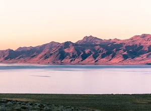
Catch a Sunset at Pyramid Lake
Catching a Sunset at Pyramid Lake is a unique experience. The high desert lake is surrounded by mountains, and strange rock formations. The reds and browns of the surrounding desert landscape light up during sunset. Combined with the blue salt water lake make for an amazing sunset. The lake will ...Read more -
Frazier Creek Road, California
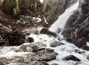
Hike to Frazier Falls
4.01 mi / 1 ft gainFrazier Falls is the ultimate family hike. Because the paved trail is only a mile long round trip, this trail is open to nearly anyone. Because of its relativly easy access and family friendly nature, this trail can get busy during the summer months.To reach Frazier Falls from the town of Graea...Read more -
Plumas County, California
Hike to Little Jamison Falls
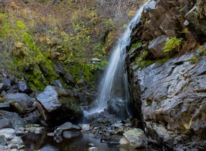
3.02 mi / 500 ft gainTo get to the falls from the town of Graeagle, CA take Graeagle-Johnsville off Highway 89 towards the town of Johnsville. After 4.5 miles take a left on a dirt road to Jamison Mine Day Use Parking. If you go over the bridge and into the town of Johnsville, you have gone too far. Continue down th...Read more -
Reno, Nevada
Hunter Creek Trail
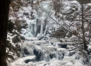
3.06.43 mi / 1362 ft gainJust outside of Reno find a fun little hike through the hills along a creek, ending at a beautiful waterfall. The trail is heavily trafficked and easy to follow with two creek crossings. It is mostly a moderate but steady climb on the way out, with just a few steep spots. The parking lot has ...Read more -
Calpine, California
Camp at Salmon Creek Campground
Salmon Creek Campground is a quiet campground in the Northern Sierra Buttes. Since it is right up the road from Sardine Lakes it seems to get overlooked a bit. We were able to reserve three campsites the same week of our trip. There were 11 to choose from! The campground is just passed the turn f...Read more -
Sierra City, California
Sierra Buttes and Sardine Lakes
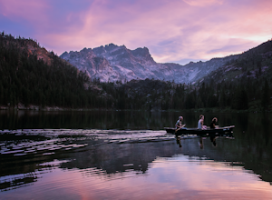
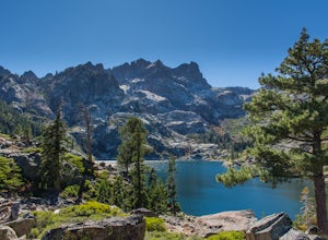
4.86.19 mi / 3333 ft gainThe Sierra Buttes are one of the most scenic mountain features in all of the Sierra Nevadas. Nestled below the buttes are Upper and Lower Sardine lakes which both offer amazing fishing. Sardine Lake Resort lies at the base of the mountains and offers boat rentals, dining and cabin rentals. Just m...Read more -
Sierra City, California
Relax at Sand Pond
5.0Sand Pond is a great place to relax after a day of hiking or paddling. It's located between Sardine Lake Campground and Lower Sardine Lake and is an easy 10 min walk from the campground. Sand Pond has beautiful views of the mountains and is a great place to watch the sunset. There are small fish ...Read more -
Reno, Nevada
Hidden Valley County Park Loop
4.04.23 mi / 1207 ft gainThis is the hidden sight of Hidden Valley. Head south down Hidden Valley Drive from Mira Loma and turn right on Mia Vista Drive until you get to the parking lot for Hidden Valley Regional Park. Watch out for wild horses on all roads leading in and throughout your hike. There are hundreds of trail...Read more -
Truckee, California
Mt. Judah Loop Trail
5.05.5 mi / 1700 ft gainA wonderful hike in Lake Tahoe is the Mt. Judah Loop Trail that offers sweeping views of Donner Lake and the surrounding Sierra Nevada mountains on the North Shore. As a resident on the North Shore, many of my recreational activities favor this side of the Lake but there are marvelous hikes in ...Read more -
Truckee, California
China Cove Loop at Donner Lake
4.63.11 miThis is a casual hike in an area with a ton of history. Stop by the museum before or after your hike to learn about the Donner Party, the Transcontinental Railroad, and local Native Americans Park at the Donner Lake and Memorial State Park Visitor Center and walk west towards the lake. Cross the...Read more -
Soda Springs, California
Hike to the Peter Benson Hut
5.011.6 mi / 1800 ft gainDrive to the top of Donner Summit via the Old Hwy 40 and park at the Donner Summit PCT trailhead, just past the Sugar Bowl Academy Building. Begin hiking up-hill through a somewhat forested area for about 2 miles. Shortly after you pass the trail sign for the Mt. Judah Loop, you will come to a sm...Read more -
Soda Springs, California
Summit Castle Peak
4.06 mi / 1800 ft gainThe trailhead is very easy to access as it is just off Highway 80 at the Boreal Mountain exit. When taking the exit, take a turn to the North, rather than to Boreal on the South side of the Highway. On busy summer weekends this trailhead can get quite crowded so you may have to park at the bottom...Read more

