Doyle, California
If you're in Doyle, California, one of the top outdoor adventures to consider is the hike along the Doyle Loop Trail. This scenic 4.5-mile loop is of moderate difficulty, perfect for those looking for a good workout amidst the beauty of the outdoors. As you navigate the trail, you'll come across the impressive Doyle Creek, a must-visit landmark known for its clear waters and stunning rock formations. The trail also offers a panoramic view of the surrounding mountains, making it a great spot for photography. Other outdoor activities in the area include fishing at the nearby Honey Lake and bird watching at the Skedaddle Wildlife Area. The best Trails and Outdoor Activities in Doyle, California, are sure to provide fun and adventure for all.
Top Spots in and near Doyle
-
Soda Springs, California
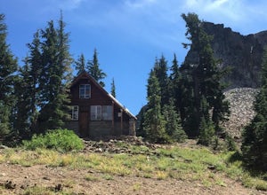
Hike to the Peter Benson Hut
5.011.6 mi / 1800 ft gainDrive to the top of Donner Summit via the Old Hwy 40 and park at the Donner Summit PCT trailhead, just past the Sugar Bowl Academy Building. Begin hiking up-hill through a somewhat forested area for about 2 miles. Shortly after you pass the trail sign for the Mt. Judah Loop, you will come to a sm...Read more -
Soda Springs, California
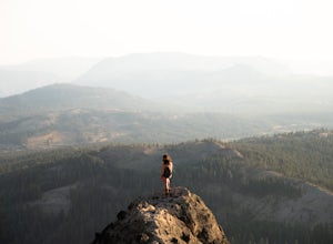
Summit Castle Peak
4.06 mi / 1800 ft gainThe trailhead is very easy to access as it is just off Highway 80 at the Boreal Mountain exit. When taking the exit, take a turn to the North, rather than to Boreal on the South side of the Highway. On busy summer weekends this trailhead can get quite crowded so you may have to park at the bottom...Read more -
Soda Springs, California
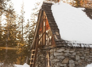
Snowshoe to the Peter Grubb Hut
5.08 miThe Peter Grubb Hut is located below Castle Peak in Round Valley, 3 miles north of the Castle Peak trailhead near I-80. Overnight parking is available at the California Sno-Park at the Boreal-Castle Peak exit on I-80. Park on the frontage road east of the Boreal Inn and walk back under the freewa...Read more -
Soda Springs, California
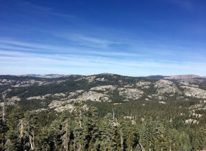
Hike to the Top of Andesite Peak
5 mi / 1000 ft gainFrom the trail map sign, follow the dirt path straight, following signs for the cross-country skiing route, not snowmobiling. Continue until you see a trail marker. You'll veer left to head over to the Hole in the Ground trail. Once you see another identical trail map board, you'll head left. Thi...Read more -
Truckee, California
Donner Lake Public Docks
4.5In the northwest corner of Donner Lake, there are public docks run by the Truckee Donner Recreation & Parks district. It's free to lay out your towels and hang out, but there is a fee for launching boats on the ramp. Come over in the late afternoon, enjoy the sunset, and go for a swim as the ...Read more -
New Washoe City, Nevada
Ski or Snowboard Mt. Rose
5.0The Resort is located about 30 miles (50 km) south of Reno in the Carson Range. Mt. Rose is Tahoe's highest base elevation at about 8,260 ft (2,520 m) and the summit is 9,700 ft (3,000 m). The resort area is 1,200 acres (4.9 km2), and is located in the Toiyabe National Forest.See the resort map h...Read more

