Gilroy, California
Gilroy, California is a great place to explore the outdoors. From scenic trails to must-visit attractions, there is something for everyone. Popular attractions in and near the area include Gilroy Gardens and Uvas Canyon County Park. For more outdoor adventures, try the Coyote Lake Harvey Bear Ranch County Park and Coyote Creek Trail. No matter what your outdoor interests are, Gilroy, California has something for you.
Top Spots in and near Gilroy
-
Felton, California
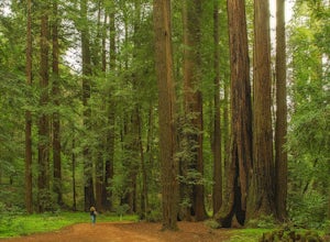
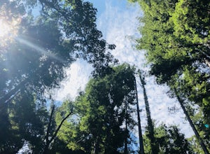
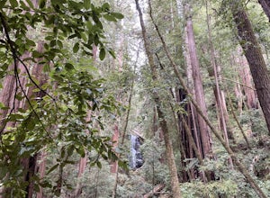
Redwood Grove Loop
4.00.93 mi / 144 ft gainHenry Cowell Redwoods State Park is located just a few miles north of the city of Santa Cruz, along Highway 9. The park is home to an array of hiking and biking trails, but the crown jewel of the park is the Redwood Grove Loop Trail, which is only a 1/4 mile in from the park's entrance. Many peo...Read more -
Marina, California
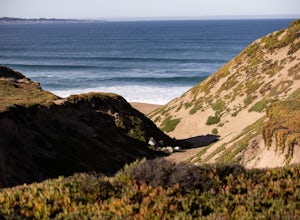
Explore Fort Ord Dunes State Park
5.0One of the best parts of Monterey is the beaches – but their popularity is also their weakness, so if you want seclusion head to the lesser-known Fort Ord Dunes for solitude and beautiful views of Monterey Bay and the Pacific Coast. Historically, this location was chosen as the location for Fort ...Read more -
Salinas, California
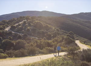
Hike or Trail Run around Toro Park
Just a short drive from downtown Monterey you will find yourself amongst the rugged yet serene hills ofToro Park. For a $2 admission fee you will have access to 20+ miles of trails that climb through canyons and run along ridgelines to peaks with views of the ocean in the distance. While the map ...Read more -
Felton, California
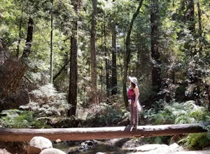
Hike Fall Creek at Henry Cowell SP
5.09.7 mi / 2191 ft gainThis quiet 10 mile hike features a winding creek and tall redwoods throughout the trail. The parking at the Fall Creek Trailhead is limited, so it is best to get there before 10am. There are redwoods very close to the trail and a good portion is alongside the creek. Most of the trail is dirt, ...Read more -
Santa Cruz, California
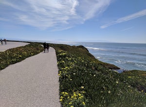
Hike Natural Bridges to Lighthouse Field
3.54.8 mi / 121 ft gainThis is a paved trail that can be used for hiking, jogging, or walking. It offers over 2 miles of beautiful California coast. Walk through flowers, see the jagged cliffs, and of course the lighthouse at the end! This walk can be done from either direction. Start at Natural Bridges and head We...Read more -
Felton, California
Hike to Limestone Kilns and Big Ben Redwood
5.08 mi / 1500 ft gainHenry Cowell Redwood State Park is a super easy destination to get to from Santa Cruz, but the seclusion of the Fall Creek Unit makes this a big bang for buck hike. This hike will take you to Big Ben, a medium sized old growth Redwood, and the abandoned Henry Cowell Lime and Cement Company Kilns ...Read more -
San Jose, California
North Rim Trail to Eagle Rock
5.01.94 mi / 240 ft gainNorth Rim Trail to Eagle Rock is an out-and-back trail that takes you past scenic surroundings located near San Jose, California.Read more -
Santa Cruz, California
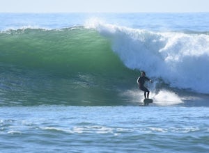
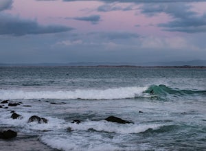
Surf Four Mile Beach
4.0Four Mile is a reef/point break that is a couple of miles north of town. This spot usually picks up more swell than in town so it is a popular spot for many locals to surf. When the swell picks up, it offers long rights towards the beach. The current can be strong when there is a lot of swell in ...Read more -
Sand City, California
Bikepack Highway 1: Monterey to San Luis Obispo
130 mi / 9000 ft gainPlease be aware that this is NOT a route for beginning cyclist. It is a very hilly route and you will be sharing the road with cars for the entire route, the shoulder is sometimes very slim. This should not scare you from doing the trip, just be aware of the risks and dangers you might be facing....Read more -
Sanborn County Park, California
Hike Sanborn County Park via the San Andreas Trail
4.04.2 mi / 1282 ft gainThis is a moderately rated 4.2 mile trail that winds through the redwoods west of Saratoga. It features a dirt trail with tall trees and a creek. The hike is very tranquil and there is lot s of greenery. There are big rocks in the creek that can you can sit on. People often meditate here as i...Read more -
Pacific Grove, California
Explore Lovers Point
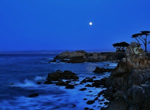
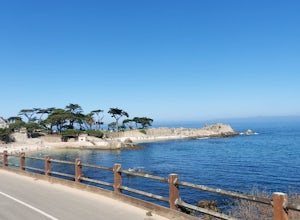
5.0LOVERS POINT PARK AND BEACH:According to local legend, this park was originally called "Lovers of Jesus Point," back in the era when Pacific Grove was a Methodist retreat camp. Since the late 1800s, the beach at Lovers Point in Pacific Grove has been a popular spot for boating and swimming, and o...Read more -
Pacific Grove, California
Paddle Lover's Point
Lover's Point is great place to SUP or kayak. There are tons of jellyfish in the water (so be careful). This beach is also popular for scuba diving and snorkeling. There are rocks surround a small sandy beach and a place to rent kayaks and sups on the beach. There is a small parking lot as well a...Read more -
Pacific Grove, California
Relax at Lover's Point Beach
4.8Getting there: Drive to the bottom of Ocean View Boulevard in Pacific Grove, California. You will reach a small parking lot. Unfortunately, the parking here is limited. On the bright side, this means the crowds never get too big! The ocean has open swells for surfers, diverse marine-life for snor...Read more -
Monterey, California
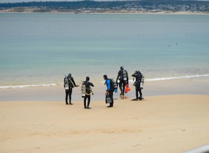
Scuba Dive Breakwater Cove
Located near Cannery Row, San Carlos Beach is home to Breakwater Cove. This is a great place for beginner scuba divers to practice their diving, get open water certified, and do their first ocean dives. San Carlos Beach is home to a large colony of sea lions, and also features a reef, anemones...Read more -
Saratoga, California
Skyline-to-the-Sea Trail
4.530.8 miWant to experience one of the bay area's most memorable backpacking trips? We've got the details to get you out on the trail. To start the trek, drop your car at the Castle Rock State Park Parking Lot, which is located ~2.5 miles south of the junctions of Highways 35 and 9 off of Highway 35. Not...Read more -
Saratoga, California
Backpack Castle Rock State Park
4.7Castle Rock Trail Camp has a different policy than other backcountry camps in the area (i.e. campsites along Skyline to the Sea). This campground is open all year and is available on a first come, first served basis. If you can, grab a spot a Frog Flat Camp. To get to the camp, park your car at t...Read more

