Gilroy, California
Gilroy, California is a great place to explore the outdoors. From scenic trails to must-visit attractions, there is something for everyone. Popular attractions in and near the area include Gilroy Gardens and Uvas Canyon County Park. For more outdoor adventures, try the Coyote Lake Harvey Bear Ranch County Park and Coyote Creek Trail. No matter what your outdoor interests are, Gilroy, California has something for you.
Top Spots in and near Gilroy
-
San Jose, California
Catch a Sunset at Alviso Marina County Park
3.09 mi / 72 ft gainThis tranquil 20.6 acre park is open year round from 8am to sunset. It’s the gateway to the Don Edwards San Francisco Bay National Wildlife Refuge. It is filled with boardwalks, trails, and all kinds of wildlife. I went here with the sole intent of catching a pretty sunset after a long week. I g...Read more -
Carmel-by-the-Sea, California
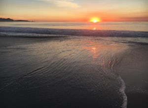
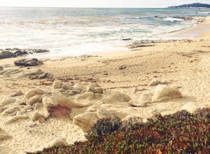
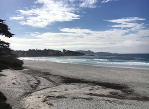
Catch a Sunset at Carmel Beach
4.7It’s a dream of mine to live in Carmel-by-the-Sea. You might recognize Carmel because Clint Eastwood was the mayor from 1986 to 1988. An idiosyncrasy you may not know about Carmel is the fact that there are no street addresses on any house in Carmel. Everyone gets their mail at the post office...Read more -
Del Monte Forest, California
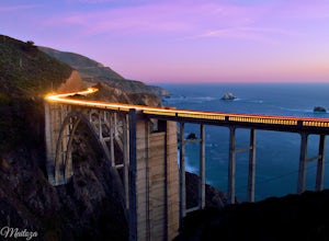
Explore Highway 1 from Carmel to Big Sur
4.6Being from the Central Coast, every time I visit the area I like to do the same trip - Simply because it is amazing. The trip starts along 17 mile drive located in Carmel. From the road, you see the Central Coast icon, the Lone Cypress. Being one of the most photographed trees in North America, i...Read more -
La Honda, California
Hike Peters Creek and Long Ridge
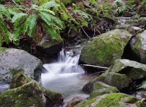
4.05.7 miFrom the parking lot, take the connector trail towards the Peters Creek Trail for 0.4 miles. As you descend into a small valley, notice the sound of running water that appears. When you reach the first trail intersection, turn left on the Peters Creek trail. This will give you your first encounte...Read more -
Boulder Creek, California
Hike to Sempervirens Falls
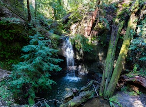
4.02.1 mi / 100 ft gainThe hike to Sempervirens Falls is an easy 2.1 mile out-and-back hike on the Sequoia Trail. You'll travel through the redwood forest and some of the campgrounds located in Big Basin State Park. The hike is pleasant but on occasion, you'll be too close to the road to feel like you're deep in the wi...Read more -
Boulder Creek, California
Big Basin's Sunset Trail Camp
4.89.46 mi / 2146 ft gainThis trail and campsite is currently closed (learn more). Looking for a more authentic hiking and camping weekend, without having to drive hours away to find it? Then the Sunset Trail Camp within Big Basin Redwoods SP is your ticket. To access this site, you'll need to hike the famous Skyline-to...Read more -
Boulder Creek, California
Hike the Berry Creek Falls Loop
4.811 mi / 2000 ft gainNestled in California's oldest state park, the popular Berry Creek Falls Loop hike begins at the Big Basin park headquarters. If you're up for 11 miles, a thousand feet of elevation gain through towering redwoods and along serene creeks, and spread out over a half-day, then this is the hike for y...Read more -
Boulder Creek, California
Camp at Big Basin Redwoods State Park
4.00.5 miBig Basin is currently closed including the campgrounds. Please visit the Parks.ca.gov site for updated details. An hour away from the thrumming city of San Jose, ancient immense trees live in a forest full of vibrant ferns and rushing waterfalls. Big Basin Redwoods State Park encompasses 10,00...Read more -
Boulder Creek, California
Hike the Ocean View Summit Loop
4.06 mi / 600 ft gainThis hike begins at the Big Basin park headquarters. If you're up for 6 miles through giant redwoods and along serene creeks, and with an ocean view, then this is the hike for you. Ocean view summit loop starts on the Gazos Creek Road bridge, next turn right on to the Middle Ridge Fire Road, whic...Read more -
Boulder Creek, California
Hike the Old Growth Redwoods Trail
4.50.5 miQuick half-mile stroll through the old growth Redwoods that will show you the nature of the ever-living redwood tree.Redwoods are capable of withstanding storms, floods, fire, droughts, and even termites. These legendary trees can live for over 2,000 years and possess incredible strength, vigor, ...Read more -
Carmel-by-the-Sea, California
Hike along the Carmel River Beach Trail
1 mi / 100 ft gainKnown as "Ribera Beach" by locals, this stretch of land nestled between Carmel River State Beach and Monastery Beach is not to be missed! The trails are easy to get to and can be accessed by 4 locations. The first entrance is on Highway 1 at the Bay School (between Ribera Road and Monastery Beach...Read more -
Carmel-by-the-Sea, California
Surf Carmel River State Beach
5.0Carmel State beach is located in Monterey county. It's your typical beach break with both lefts and rights. One thing that is super unique about Carmel is that the water is some of the clearest in all of California. Depending on the sandbars, this can be a really fun wave! It's also a great p...Read more -
Carmel-by-the-Sea, California
Hike to the Top of Inspiration Point
5.01.3 mi / 850 ft gainThis magnificent trail was recently converted into part of the Monterey Regional Parks System. Walk through pastures of cows, through coast oaks, up a steep incline with vast views of Carmel Valley, Carmel and the Pacific Ocean up to the top where a picnic table awaits you at Inspiration Point. T...Read more -
Sunol, California
Little Yosemite via Canyon View Trail
4.03.01 mi / 705 ft gainPlease note this is a fragile ecosystem and watershed. There is NO swimming allowed in Alameda Creek and trespassing is prohibited on Water Department lands that are not accessible to the public. You can learn more about the restrictions and the area at ebparks.org. After entering the kiosk you...Read more -
Davenport, California
Hike around Greyhound Beach and Climb Greyhound Rock
0.7 mi / 0 ft gainThe trailhead is at the Greyhound Rock State Marine Conservation Area which is directly off Highway 1. There is a large paved parking lot with a good amount of trees so finding a shady parking spot isn't that difficult (if that's important to you). The parking lot is located on the beach cliffs ...Read more -
21600 Big Basin Way, California
Hike the Sequoia Trail at Big Basin Redwoods SP
4.04.3 mi / 600 ft gainThis 4.3 mile hike in Big Basin Redwoods SP is a peaceful break from the hustle and bustle of everyday life. In the first half, there is a quick detour you can take to Sempervirens Falls. Just listen for sounds of water, read the signs, and cross the road. The detour itself is as far as cross...Read more


