Grove, California
Looking for the best photography in Grove? We've got you covered with the top trails, trips, hiking, backpacking, camping and more around Grove. The detailed guides, photos, and reviews are all submitted by the Outbound community.
Top Photography Spots in and near Grove
-
Fort Bragg, California
Mackerricher State Park
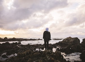
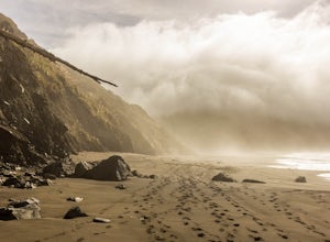
Arrive an hour or so before sunset and have plenty of time to explore a ton of different things. Walk along the beach, we had it to ourselves mind you. Not another footprint in the sand. Stroll around the boardwalks out to the point. Walk down to the tide pools, and stayed for one of the most spe...Read more -
Mendocino, California
Camp at Russian Gulch State Park
Just two miles north of Mendocino, you'll find this beautiful, well-maintained park that features a little bit of everything. The campsite is situated between a rugged beach and a stunning 36-ft waterfall, giving you plenty of easy and fun options.This park is most well known for the heavily fore...Read more -
Mendocino, California
Explore Big River Beach
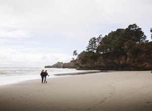
Make your way around the back of the Chevron on Main st. in town and just keep following the stairs down to the little trail that leads to the beach. The beach is beautiful with soft sand. Dogs are allowed but please note they are supposed to be on leash. Obviously our group wasn't too upset by ...Read more -
Mendocino, California
Paddle Redwood Outrigger Canoes up Big River
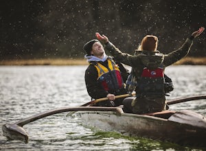
Big River is a 40 mile or so river in the heart of Mendocino and its first 8 miles form the largest undeveloped estuary remaining in California. It is home to some amazing wildlife from seals to jellyfish to the endangered California Coho Salmon, Chinook Salmon, and Steelhead Trout. If you are lu...Read more -
Mendocino, California
Mendocino Cliffs Trail
5.01.37 mi / 108 ft gainThe town of Mendocino is as charming and quaint as one can find. It is no wonder why it was pegged as the perfect location spot to film the series Murder She Wrote. While the series heroine Jessica Fletcher's home can still be visited, it is the bay itself that will draw your attention. Startin...Read more -
Mendocino, California
Fern Canyon Scenic Trail
5.07.71 mi / 787 ft gainThe Fern Canyon Trail system is the main hiking vein of Van Damme State Park. This particular hike is on a mostly flat, wide trail through dense, green forest of California Redwoods, Cypress, Pines, and giant ferns. The trail is paved but typically carpeted in soft pine needles. Come in the rainy...Read more -
Albion, California
Explore Navarro Beach
Northern California beaches are not your typical soft sand, warm water, grab a surf board type of spots. Of course when the weather is cooperating you can enjoy those activities as well! What makes this spot so special is how few people ever come and enjoy the raw beauty of this landscape. If you...Read more -
Ukiah, California
Hike Montgomery Woods State Nature Reserve Loop
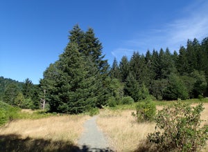
4.52 mi / 150 ft gainThis is a great find. We saw it on the map it was on the way from Mendocino to our next stop, Napa Valley. So glad we took the time to visit. It is a small park with about a two mile loop hike in a valley floor loaded with huge redwoods and few people. The trail is very easy and starts along a sm...Read more -
Whitethorn, California
Camp at Usal Beach on the Lost Coast
5.0Getting to Usal beach can be a little tricky, but it is well worth the effort. Usal Road (Mendocino Country Rd 431) is found 13 miles north of Westport or 14.5 miles southwest of Legget on Highway 1. The turn off is extremely easy to miss so it is recommended to use your odometer to gauge how clo...Read more -
Leggett, California
Taber Nature Trail
0.81 mi / 217 ft gainSigns at the trail head for the Taber Trail state it is 1.1 miles long. That is much shorter than the actual 1.8 miles my GPS put it at. The trail sign also claims it is wheelchair accessible. I can see that for a little ways but as the trail begins to climb, I think this would be a tough go. Th...Read more -
Point Arena, California
Explore the Point Arena Lighthouse and Trail
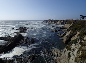
5.00.5 miPoint Arena Lighthouse is situated on the piece of land that is the closest to the Hawaiian Islands from the continental United States. The lighthouse stands at 115 feet high and you are able to go to the top. I did not have time for this, unfortunately but definitely something I will take advant...Read more -
Point Arena, California
Explore the Point Arena Lighthouse
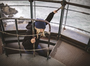
Go into the museum and gift shop first and have a look around at all the cool stuff they have from the lighthouse. Once you're done checking everything out in there, go make your way up the spiral staircase to the tippy top. You can stop just before the peak and go for a walk on the landing that ...Read more -
Point Arena, California
Hike Stornetta Public Lands
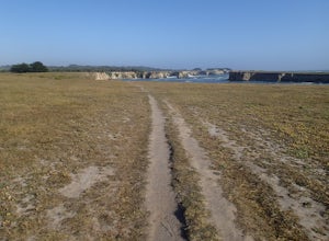
4.52.5 miAlong Point Arena Lighthouse Road there is an access trailhead to Stornetta Public Lands, which is part of the Bureau of Land Management system. There is a wonderful coastal trail that offers great views of the rugged coastline. From the trailhead, you will be walking south across an open field w...Read more -
Whitethorn, California
Jackass Creek via Lost Coast Trail
23 mi / 8071 ft gainThe Lost Coast is infamous. For its name alone draws visitors from around California and the world. A 26-mile stretch of coast, road less, with a wall like mountain range just yards from the ocean and beach. But with the Lost Coast being what it is, there is a lesser-known, yet equally stunning h...Read more -
Whitethorn, California
Chinquapin Loop on The Lost Coast
4.07.87 mi / 2159 ft gainI did this hike the day before setting out on a backpacking trip along the northern section of The Lost Coast Trail and it was a fantastic warm up hike. The Chinquapin Loop is a loop off of The Lost Coast Trail along Chemise Mountain, near the start of the southern section of the LCT. You can st...Read more -
Whitethorn, California
Black Sands Beach on the Lost Coast
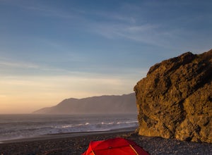
5.00.5 miBlack Sands Beach and all of the Lost Coast is almost indescribable in its ruggedness and beauty. Black Sands Beach sits along the southern portion of of the famous Lost Coast Trail, and is accessible by one of the two roads that go across the King Range to the ocean. From 101 in Garberville, hea...Read more

