California
Looking for the best hiking in California? We've got you covered with the top trails, trips, hiking, backpacking, camping and more around California. The detailed guides, photos, and reviews are all submitted by the Outbound community.
Top Hiking Spots in and near California
-
Ventura, California
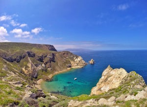
Potato Harbor Trail
5.04.34 mi / 404 ft gainAs California’s largest island, Santa Cruz Island of the Channel Islands is the perfect little getaway from Los Angeles. Getting to the island is possible only by a one hour boat ride through Island Packers, click here to find out more about them. Be sure to pack light since you’ll be carrying ev...Read more -
Mariposa County, California
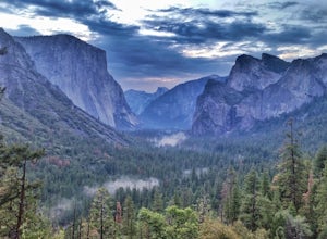
Hike to Artist Point in Yosemite National Park
4.82 mi / 500 ft gainPark at the Tunnel View parking lot. The Pohono Trail, which you fill follow for the first half mile, starts on the left side of Wawona Tunnel. You should notice a small path starting from the parking lot. The trail quickly ascends up a series of switchbacks before reaching a junction. If you...Read more -
Big Sur, California
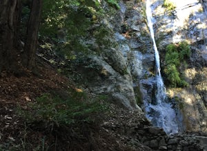
Hike to Pfeiffer Falls
4.02 miThis trail is a staff favorite at Big Sur. This family-friendly waterfall trail provides only a moderate challenge for young children and older family members. There are two starting points for this hike depending on where you stashed the car. If you’re parked near the gift shop, the head up the ...Read more -
Twentynine Palms, California
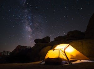
Camp at Hidden Valley in Joshua Tree
4.8Joshua Tree National Park is known for its world class rock climbing, out of this world landscapes, and some of the darkest skies around. Having a base camp inside of the park is incredibly important as it's quite massive and I found that Hidden Valley Campground is strategically placed smack dab...Read more -
Mariposa County, California
10 Lakes Basin in Yosemite
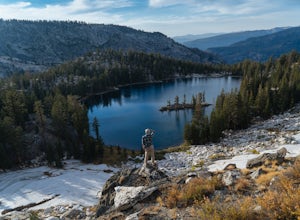
5.013.38 mi / 2200 ft gainBeginning at the Ten Lakes trailhead, the trail to the lakes is a moderately strenuous uphill grind to Ten Lakes pass, followed by a quick downhill into the lake basin. We met a woman at the top who made sure we didn’t miss the short side trail to a vista point on the pass that offered a sweeping...Read more -
Wawona, California
Cathedral Lakes
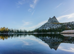
4.89.04 mi / 1100 ft gainStarting at the Cathedral Lakes Trailhead near the Tuolumne Meadows parking lot (if parking is full at the TH), this trail wanders through the classic High Sierra forest with large white granite boulders and pine trees. After approximately 4 miles of quiet solitude in the forest, you will reach ...Read more -
Penn Valley, California
Fairy Falls Trail to Shingle/Beale Falls
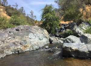
4.14.87 mi / 535 ft gainStart at the Fairy Falls trailhead in Spenceville Wildlife Area Field Trial Grounds in Penn Valley (careful on the bumpy roads in). From the parking lot, cross a small bridge and make a right onto a dirt road. After about a mile you will follow the road to the right and continue through the gate....Read more -
Malibu, California
Sandstone Peak
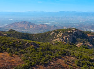
4.83.03 mi / 971 ft gainIf you live in Los Angeles, Sandstone Peak is a must! The hike to the summit can be done on a 2 mile hike up and back on Sandstone Peak Trail, or a 6.5 mile hike up and back on Backbone Trail. The shorter trail is more popular, yet both are equally rewarding. You won't believe the views from the...Read more -
Homewood, California
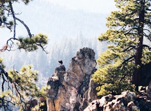
Eagle Rock
4.00.84 mi / 105 ft gainStarting at an outcrop off Highway 89 in Tahoe Pines, hikers make their way up the trail through a gradually sloping forest. Climbing rocks and logs, it is strenuous at times but only takes about 15-20 minutes to accomplish. Once at the top, the elevation is 6,286 feet and consists of an absolute...Read more -
Big Sur, California
Hike the Ewoldsen Trail
4.54.2 mi / 1500 ft gainThe Ewoldsen Trail is one of the more accessible yet challenging hikes in Big Sur. It is a beautiful ~4-mile loop through the redwood forest that starts in the Julia Pfeiffer state park parking lot, which is across the street from McCay falls. During the first part of the hike, you'll pass picnic...Read more -
Altadena, California
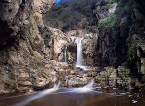
Thalehaha Falls
1.71 mi / 679 ft gainThe trails starts in a foothill neighborhood of Altadena CA at the corner of Pleasantridge Dr. and Rubio Vista Rd. This is one of the better entries into the Angeles National Forest because it is one of the lesser known. Find a place to park on the street and head out on the trail into Rubio Cany...Read more -
Inyo County, California
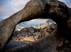
Camp in the Alabama Hills
4.8The Alabama Hills Recreation Area is a area owned by BLM and open to the public. Camping is free and you can say for a max of 14 days.The are has 100+ open desert sites that are shadowed by some of the tallest peaks in the Sierra Nevada range. And if that wasn't enough, the area was the backdrop ...Read more -
Arcadia, California
Mt. Wilson Loop from Chantry Flat
5.012.74 mi / 4852 ft gainMt. Wilson is one of the more difficult mountains in the San Gabriel to hike, making this adventure Intermediate. While 5,700 feet doesn't seem that tall, the mountain has a prominence of almost 5,300 feet, meaning that hike is steeper and longer than some of the other popular mountains that star...Read more -
Malibu, California
Newton & Zuma Canyon Falls
4.32 mi / -600 ft gainThree waterfalls in one short hike?!...I'll take it! That's what you'll get if you make the visit to these falls in the Santa Monica mountains in Malibu. The trailhead starts on Kanan Dume road, which is also where the Backbone trail meets. Park in the designated (free) parking area and take the ...Read more -
Los Angeles, California
Bronson Bat Caves
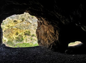
3.30.61 mi / 66 ft gainWho doesn't enjoy a short hike to a scenic/remote location? I know I sure do! After hearing about this spot through word of mouth and the internet, and seemingly never having the time to check it out, I honestly have to say it was a worthwhile trip. This short 0.6 out and back hike/walk to the f...Read more -
Sequoia National Park, California
Hike Moro Rock
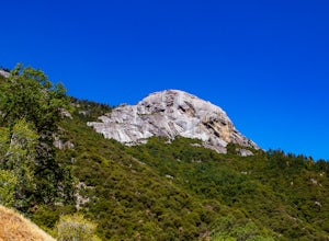
5.0Moro Rock is a granite dome with a staircase leading to the 6,725 foot summit, where you can enjoy a spectacular view of the Great Western Divide. From Generals Hwy, you can drive up Crescent Meadow Road to the parking lot at the base of Moro Rock (summer weekends the road is closed for shuttles ...Read more

