California
Looking for the best hiking in California? We've got you covered with the top trails, trips, hiking, backpacking, camping and more around California. The detailed guides, photos, and reviews are all submitted by the Outbound community.
Top Hiking Spots in and near California
-
Boulder Creek, California
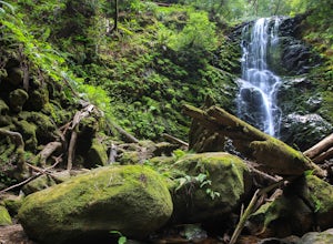
Hike the Berry Creek Falls Loop
4.811 mi / 2000 ft gainNestled in California's oldest state park, the popular Berry Creek Falls Loop hike begins at the Big Basin park headquarters. If you're up for 11 miles, a thousand feet of elevation gain through towering redwoods and along serene creeks, and spread out over a half-day, then this is the hike for y...Read more -
San Diego, California
Los Penasquitos Waterfall via Los Penasquitos Canyon Trailhead
4.34.15 mi / 115 ft gainThe Los Penasquitos Preserve waterfall is a hidden gem of San Diego and a popular spot for locals within the area. The hike to the waterfall lies within a preserve of approximately 4,000 acres. There are many different trailheads that lead to the waterfall all offering a unique experience. I alwa...Read more -
Pioneer, California
Camping at The Pots
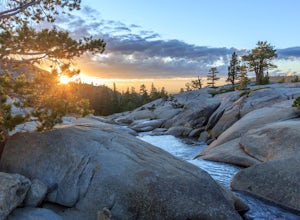
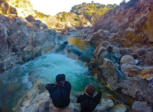
4.2This fantastic camping or chilling spot has beautiful granite pools and slides of all sizes. The area consists of a river flowing over a granite slab creating pools some of which are over ten feet deep. The water cascades down the granite in small water falls. The area is located next to Silver L...Read more -
La Verne, California
Bridge to Nowhere via East Fork Trail
4.49.65 mi / 1798 ft gainThe trail on this 10-mile hike is predominately slow and steady, but can be a little rocky, so be prepared to scramble. When you’re fording the river, the water level can range from knee to chest high, especially in the wet months. A good pair of waterproof hiking boots is helpful, but water shoe...Read more -
Greenfield, California
Adventure at Arroyo Seco
4.6This off-the-beaten-trail adventure has a little bit of everything for everyone, and is as challenging as you make it. Many just make it about a mile down to the river for a leisurely day of relaxing, swimming, sunbathing, and enjoying a few cold beverages. Others embark on a 7+ mile adventure up...Read more -
Oakland, California
East & West Ridge Loop
4.53.47 mi / 833 ft gainTucked away in the hills of Oakland, you will find one of the homes of California's Coastal Redwoods. Created by a unique geographical circumstance, this forest breathes winds funneled through the Golden Gate across the bay, which created environment opportune for Redwood growth. These Redwoods a...Read more -
Arcadia, California
Hermit Falls Trail
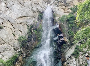
4.82.49 mi / 1014 ft gainNote: Hermit Falls is Temporarily Closed From Roberts Camp, many hikers will head to Sturtevant Falls, which is an amazing 60-foot waterfall. But, if you choose to head in the opposite direction on First Water Trail, you’ll be rewarded with a fresh water swimming hole at this 35-foot tumbling wa...Read more -
Arcadia, California
Sturtevant Falls
4.61.61 mi / 423 ft gainThis trail is currently closed. Visit the Forest Service website for updates. As you head down to Roberts Camp, a historic set of historic cabins, you’ll head out on a steep, paved road for approximately 0.6 miles. Once you reach the camp, head over the bridge and keep an eye out for the sign f...Read more -
San Francisco, California
Tank Hill
4.30.14 mi / 49 ft gainLooking for a cool, under-the-radar spot that’s perfect for picnics, chilling out, and chasing the sunset? Look no further than Tank Hill. This little gem of a mini-park is 650 feet high and tucked away in Cole Valley. It’s so small that many maps of San Francisco don’t even include it. To get ...Read more -
Escondido, California
Lake Hodges Overlook
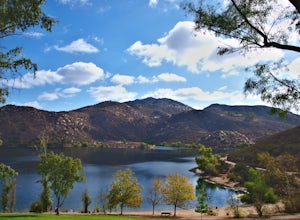
4.66.73 mi / 1407 ft gainElfin Forest is one of the most beautiful and unique trails in all of San Diego, CA. The parking is free as well as the overflow parking area. There is an Interpretive Center located in the staging area where you can speak to park rangers, learn about the wildlife and trail locations. The parking...Read more -
Mill Valley, California
Tennessee Beach via Tennessee Valley Trail
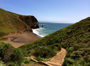
4.63.64 miThe Tennessee Valley trail is leisurely 3.6 mile roundtrip hike that turns around at Tennessee Valley Cove. Along the way, you’ll hike past shrublands, wetlands, and a lake before you get to a cool little secluded beach that many people picnic at. This is probably the easiest to access, and most...Read more -
Poway, California
Mount Woodson and Potato Chip Rock
4.66.45 mi / 900 ft gainMt. Woodson is located in Poway's most eastern region and is one of San Diego's most popular and most iconic hiking trails. Known for its grand photo opportunistic "Potato Chip Rock", Mt. Woodson is a 7.5mi out-and-back trail with amazing vistas, convenient rest stops and breathtaking views. The...Read more -
Sunol, California
Little Yosemite via Canyon View Trail
4.03.01 mi / 705 ft gainPlease note this is a fragile ecosystem and watershed. There is NO swimming allowed in Alameda Creek and trespassing is prohibited on Water Department lands that are not accessible to the public. You can learn more about the restrictions and the area at ebparks.org. After entering the kiosk you...Read more -
Los Angeles, California
Hollyridge Trail to the Hollywood Sign [Closed]
4.13.5 mi / 383 ft gainThis trail is closed as is the Beachwood Gate which is used to access the Hollyridge Trail will be permanently closed on April 18th, 2017 due to a court order. Check out Hollywood Sign via Brush Canyon Trail for an available option. There are three ways to get to the Hollywood Sign. This route ...Read more -
Morgan Hill, California
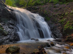
Uvas Canyon Waterfall Hike
4.01.5 miUvas Canyon offers up to 6-miles of hiking trails, which includes a 1.5 mile loop, which runs along Swanson Creek and passes many of the park's waterfalls. To take short loop, head North out of the parking lot to the Swanson Creek Trail. Once you find Swanson Creek Trail, you'll be on the Waterfa...Read more -
Echo Lake, California
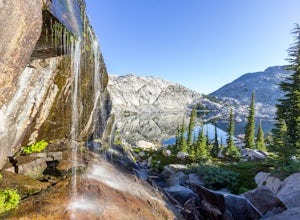
Backpack to the "Waterfall Camp" in Desolation Wilderness
4.710.5 mi / 1522 ft gainAlthough this hike can be done as a day hike, it is an awesome place to camp. There is a lot to explore and you will want to spend as much there time as you can. The easiest way to start this hike is to start at the Echo Lakes. There is ample parking above the marina and you even have the option ...Read more






![Hollyridge Trail to the Hollywood Sign [Closed]](https://images.theoutbound.com/contents/101823/assets/1421740399247?w=300&h=220&fit=crop&q=60&s=2a530c5406ca77dd7baf662c74a58ba1)
