California
Looking for the best hiking in California? We've got you covered with the top trails, trips, hiking, backpacking, camping and more around California. The detailed guides, photos, and reviews are all submitted by the Outbound community.
Top Hiking Spots in and near California
-
Ramona, California
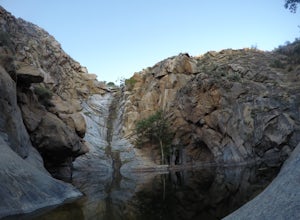
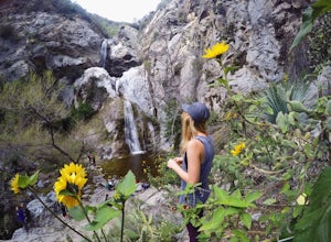
Cedar Creek Falls
4.85.52 mi / 1024 ft gainThe trail to Cedar Falls starts out at a hill in a residential area and ends in an unexpected spot where there is a beautiful waterfall complete with a swimming hole. Surrounded by 75-foot-high cliffs, a magnificent waterfall splashes into a pool known as the Devil’s Punch Bowl. Hikers have been ...Read more -
Mariposa County, California
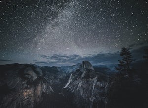
Glacier Point via Four Mile Trail
5.09.59 mi / 3200 ft gainGlacier Point is one of the highlights of Yosemite. The point is located at the end of Glacier Point Road. This viewpoint allows you to survey the entire Yosemite Valley and gives the viewer a captivating sight of Half Dome. It's a little bit of a tourist trap (especially during the summer season...Read more -
San Francisco, California
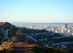
Mount Davidson
4.51.03 mi / 299 ft gainMount Davidson Park is located in the southwestern part of the city nestled between Diamond Heights and Portola Dr. The climb isn't too difficult, but to reach the top of the 928ft summit, you should wear close-toed shoes and be ready for some loose gravel or mud if it's been raining. The hike is...Read more -
Bishop, California
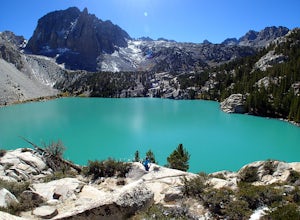
Big Pine Lakes via North Fork Trail
5.012.69 mi / 3196 ft gainThe North Fork Big Pine Creek Trail offers some of the best high alpine scenery in the Sierras. As the peaks of the Palisades pierce the sky with its craggy span of summits you will find it is as picturesque and dramatic as any in California. Nestled beneath these giant peaks are the glacier scou...Read more -
Altadena, California
Echo Mountain and Inspiration Point Loop
4.110.16 mi / 3369 ft gainThe trail switchbacks up the mountain before reaching the first historic marker, in 3 miles. These are the remains of the Mount Lowe Railroad, which brought customers to Echo Mountain Resort, also in ruins, nearby. Explore the historic sites, then head up Castle Canyon Trail. A steep climb will ...Read more -
Bolinas, California
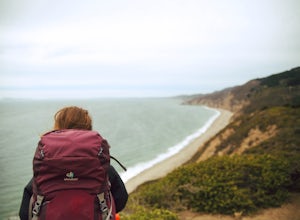
Point Reyes' Wildcat Camp via Coast Trail
5.011.19 mi / 1926 ft gainIn order to make this trip possible, go to recreation.gov and make a reservation for Wildcat Camp (available year-round). On your way to the trailhead, make sure to stop by the Bear Valley Visitor Center to grab your camping permit. For more information, visit: http://www.nps.gov/pore/planyourvis...Read more -
San Francisco, California
Mile Rock Beach
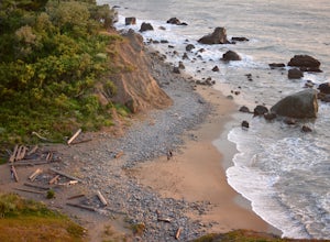
4.71.64 miThis rocky, secluded beach is tucked in along the Land’s End Coastal Trail in the Golden Gate National Recreation Area. Located 100 or so steps down from the main trail, you’ll find this mysterious little beach that will make you feel like you’re in an old pirate movie. There are a lot of logs an...Read more -
Big Sur, California
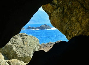
Explore The Hidden Rock Caves At Partington Cove
5.0Partington Cove which is located in Julia Pfeiffer Burns State Park, is one of Big Sur's hidden gems. It's a very short hike with enough views to show why Big Sur earned the nickname " Little Yosemite." The whole hike can easily be completed in less than an hour, although there are definitely eno...Read more -
Sierra, California
Rae Lakes Loop
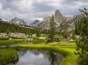
5.039.08 mi / 7316 ft gainDay one: After checking in with the park ranger and getting your required permits you will start your hike along a 1.8 mile stretch along the south fork of the Kings River. At this point, people typically go clockwise toward Paradise Valley but you can also go counterclockwise along Bubbs Creek. ...Read more -
Azusa, California
Fish Canyon Falls
2.04.08 mi / 801 ft gainThis trail is currently closed! Learn more on the U.S. Forest Service website. Follow Encanto Parkway towards the hills until you come to a junction with a sign labeled "trail" that points towards a parking lot to your right. Parking is free, though on weekends it may be difficult to find a spot...Read more -
Bolinas, California
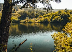
Bass Lake via Palomarin Trailhead
4.26.11 miFollow the Coast Trail from Palomarin Trailhead to Bass Lake. It's a fairly easy ~2.5-3 miles to the Lake. As soon as you pass the lake, on the left you will see a narrow unmarked dirt trail. Take this trail and you'll get to a nice clearing with easy lake access (this will be a great spot for lu...Read more -
San Francisco, California
Corona Heights Park
5.00.65 mi / 115 ft gainCorona Heights Park is a park located north of the Castro and South of Buena Vista Park. The peak of the hill is windy, but it offers an unobstructed panoramic view of the city of San Francisco from downtown to Twin Peaks. It is perfect for taking panoramic pictures of San Francisco at night. Y...Read more -
Yosemite Valley, California
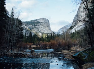
Mirror Lake
4.62.56 mi / 190 ft gainMirror Lake is a very popular spot in the Yosemite Valley and definitely a must see to check off your explore list. Crowds are much smaller if you go during the winter, but some parts of the water might be iced over. The trailhead you take to get there is well marked and can be found at the far ...Read more -
Calistoga, California
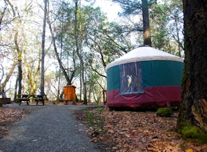
Camp at Bothe-Napa Valley SP
4.5Looking for a romantic getaway but you’d prefer to spend your nights around a campfire? This adventure is for you. This beautiful Napa Valley campground has it all – 10 miles of hiking trails, 1,900 acres to explore, and…new yurts! Yurts are basically cool circular tents that allow you enjoy the ...Read more -
Silverado, California
Hike to Black Star Canyon Falls
4.87.5 mi / 913 ft gainWaterfalls in Orange County are far and few between, with the best lying near and inside the Cleveland National Forest. Black Star Canyon Falls are some of the best just after a rain if you are heading out during a dry time of the season you should still expect to see some water. Free parking, ea...Read more -
Sausalito, California
Black Sands Beach
5.00.54 mi / 285 ft gainBlack Sand Beach is a beautiful, mile-long stretch of black sand just north of the Golden Gate Bridge. On a sunny day, it’s best to try and arrive in the morning, as the parking lot can fill up quickly. To get down to the beach, you’ll need to hike for about 5 minutes down 250 or so wooden steps....Read more

