Lakeshore, California
Looking for the best hiking in Lakeshore? We've got you covered with the top trails, trips, hiking, backpacking, camping and more around Lakeshore. The detailed guides, photos, and reviews are all submitted by the Outbound community.
Top Hiking Spots in and near Lakeshore
-
Inyo County, California
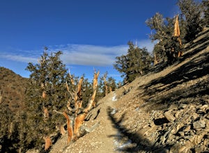
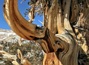
Methuselah Trail
5.03.96 mi / 768 ft gainMethuselah Trail is a loop trail where you may see wildflowers located near Bishop, California.Read more -
Bass Lake, California
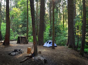
Camp at Greys Mountain Campground
/ 5293 ft gainFrom Greys Mountain Campground, Sierra National Forest is your oyster! Enjoy hiking, swimming, fishing, mountain biking, boating, paddle boarding, kayaking, canoeing, and more. Each site is equipped with a picnic table and a fire ring. The campground has vault toilets and (sometimes) potable wate...Read more -
Mono County, California
Gem Lake via Rush Creek
5.06.91 mi / 2313 ft gainThis hike starts next to Silver Lake in the June Lake Loop, located just north of Mammoth Lakes, CA off HWY 395. There is a parking lot near the RV park as well as street parking across the road from the trailhead. Once you head out on the hike, you'll start gaining elevation as you hike up tow...Read more -
Lee Vining, California
Hike to Agnew Lake from Silver Lake
4.04.4 mi / 800 ft gainJune Lake never ceases to amaze. In just about any weather, this particular portion of the 395 is something to be experienced in its entirety.If you are dedicating a day or two to explore the June Lake loop, then a trek to Agnew Lake is the perfect hike to throw into the plans. It is not extremel...Read more -
Bishop, California
Climb White Mountain Peak
4.314 mi / 2000 ft gainNot surprisingly, White Mountain Peak is the apex of the White Mountains, which rise out of the desert floor just north of Death Valley. The White Mountains were aptly named as they are frequently covered in snow.The trailhead starts at 12,000ft and winds it's way over a few hills before the fina...Read more -
Oakhurst, California
Camp at Nelder Grove Campground in Sierra National Forest
0 mi / 0 ft gainSites are located along Willow Creek with plenty of shape. Right out of the campground you can hike nearby Bull Buck Trail and discover the giant sequoia trees. This is a first-come first-serve campground so arrive early.Directions: Take Hwy 41 north from Fresno; continue thru Oakhurst to Sky Ran...Read more -
Oakhurst, California
Hike the Shadow of the Giants Trail
4.01.1 mi / 85 ft gainThe Shadow of the Giants National Recreation trail is an amazing 1.1 mile self-guided hike through the heart of Nelder Grove. Take Hwy 41 north from Fresno; continue thru Oakhurst to Sky Ranch Road (6S10 or Forest Road 10) travel approx. 5 miles to Nelder Grove, when you reach the camp area take ...Read more -
Bishop, California
Patriarch Grove Trail
0.44 mi / 95 ft gainPatriarch Grove Trail is a loop trail where you may see wildflowers located near Bishop, California.Read more -
Three Rivers, California
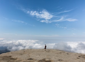
Hike Little Baldy
5.03.5 mi / 700 ft gainA short hike with impressive views of Sequoia National Park, the Little Baldy trail is the less touristy version of Moro Rock. When we hiked it on a beautiful Sunday morning in the summer, we had the entire summit to ourselves. Even if other hikers had been up there, it would have still felt em...Read more -
Independence, California
Charlotte Lake via Kearsarge Pass
4.016.38 mi / 4078 ft gainThis adventure begins at Onion Valley Campground outside of Independence, CA. The parking is abundant and the road is snow dependent. Snow will be plowed as long as it is not currently being hit with a massive storm. Dogs are allowed on trail up to Kearsarge Pass (4.5 miles from the trailhead). H...Read more -
Independence, California
Rae Lakes via Glen and Kearsarge Passes
5.026.02 mi / 7106 ft gainThe hike starts at Onion Valley campground and includes a good deal of elevation (two passes around 12,000 feet). You start climbing at the outset, and keep climbing for the first couple of hours before hitting Kearsarge Pass. Here you begin a long descent, then traverse above some beautiful lake...Read more -
Independence, California
Summit Mt. Gould
9 mi / 3812 ft gainStarting at 9,200 feet at Onion Valley Campground, take Kearsarge Pass Trail. The hike begins immediately with a substantial increase in elevation, switchbacking up the mountain. On the way up rest and enjoy the beautiful alpine lakes, which include Gilbert, Flower, Heart and Big Pothole Lake. Fl...Read more -
Independence, California
Onion Valley to Mt. Whitney
47.35 mi / 11745 ft gainTrip Guide ***Please note, all images after the first one are arranged in chronological order of the trip so you can easily follow along Day 1 Depending on where you are coming from your day one is most likely going to be setting up your car shuttle from Whitney Portal to Onion Valley. Our fi...Read more -
Independence, California
Flower Lake from Onion Valley
5.04 mi / 1352 ft gainMake sure to obtain an overnight permit up to 6 months in advance. You will have to pick up your permit at one of the Inyo National Forest Visitor Centers (here) before you begin. Once you have your permit in hand, drive to the Onion Valley Trailhead (see map), which is about 15 miles west of th...Read more -
Sequoia National Park, California
Mount Silliman, Sequoia NP
5.011.24 mi / 4449 ft gainThere is available parking at the campgrounds at the Lodgepole Visitor Center. Lodgepole's elevation starts at 6720 ft. Twin Lakes Trailhead starts right at the base, which you will be following to get to Mount Silliman. Along Twin Lakes Trail are several campgrounds for your journey, you can go...Read more -
Tulare County, California
Tokopah Falls
4.23.77 mi / 617 ft gainThis hike starts from the Lodgepole area of Sequoia National Park. Parking is easy at the easternmost end of the paved road prior to entering the campground. From the south side, the trail starts off by crossing the Marble Fork of the Kaweah River to the north side. It then loosely follows the r...Read more

