Lee Vining, California
Looking for the best photography in Lee Vining? We've got you covered with the top trails, trips, hiking, backpacking, camping and more around Lee Vining. The detailed guides, photos, and reviews are all submitted by the Outbound community.
Top Photography Spots in and near Lee Vining
-
Mammoth Lakes, California
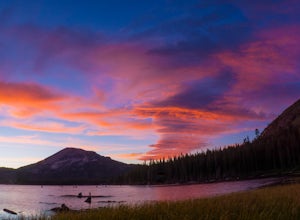
Photograph Lake Mary, Mammoth Lakes
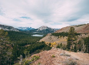
4.0Lake Mary is the largest of the 11 lakes in the Mammoth Mountain area. Explore the lake’s perimeter and find your own perfectly peaceful place to watch one of Mammoth’s signature stunning sunsets. Parking is easy to come by either on the side of the road or at the marina parking lot up the road.B...Read more -
Mammoth Lakes, California
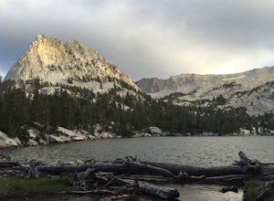
Crystal Lake via Mammoth Crest Trail
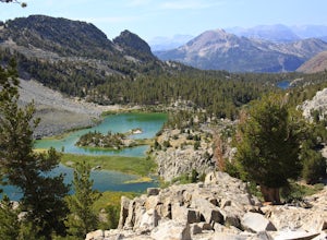
4.82.5 mi / 1257 ft gainIn Lake George, park along Lake George Road and walk towards Crystal Crag Trailhead sign to begin the hike. If you couldn't find it, you can head to the boat rentals by the lake and you will see a sign saying trailhead is behind you. The trail is well maintained and it is really easy to follow. ...Read more -
Mariposa County, California
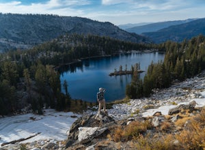
10 Lakes Basin in Yosemite
5.013.38 mi / 2200 ft gainBeginning at the Ten Lakes trailhead, the trail to the lakes is a moderately strenuous uphill grind to Ten Lakes pass, followed by a quick downhill into the lake basin. We met a woman at the top who made sure we didn’t miss the short side trail to a vista point on the pass that offered a sweeping...Read more -
Mariposa County, California
Grant Lake via Ten Lakes Trailhead
4.012.24 mi / 2000 ft gainThe trail begins at the Ten Lakes trailhead (7600 ft) right beside Yosemite Creek. The first 4 miles start you on the ascent through the wooded forest, however there are portions of the trail that will take you through granite rock valleys marked with only cairns so keep your eyes peeled througho...Read more -
Mono County, California
Hot Creek Geological Site
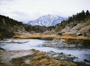
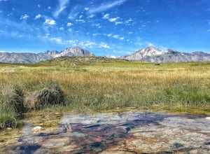
4.8Hot Creek Geological Site is a must see when you are in the Mammoth Lakes area. It is just West of Highway 395 and only minutes form the town of Mammoth Lakes, which has great food, a ski resort, world class mountain biking, and a brewery. Bishop is about 40 minutes South which is well known for ...Read more -
Mammoth Lakes, California
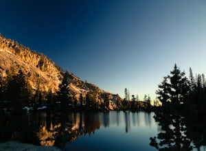
Duck Lake via Duck Pass Trail
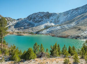
4.79.29 mi / 1880 ft gainThe Duck Pass trail in the John Muir Wilderness combines breathtaking views, wildflowers and plenty of icy mountain lakes for swimming into a trail that is moderate in both difficulty and distance. With multiple lakes along the way to pitch your tent and plenty of day hike options from a base cam...Read more -
Mammoth Lakes, California
Arrowhead Lake
5.02.25 mi / 538 ft gainIf you make your way to the Goldwater Campground there is plenty of parking. The trailhead you take leads to many lakes but the Duck Pass trailhead is the on you want to take. This is a easy trail to follow and walk with very little obstacles. You follow it along for around a mile and you won't ...Read more -
Mammoth Lakes, California
Pika Lake via Duck Pass Trail
9.41 mi / 1880 ft gainAs many of the other hikes start in this area, you start at the Goldwater Creek Campground where there is plenty of parking and restrooms. You will take the Duck Pass Trailhead for this hike. • I wanted to point out that this is not the easiest hike to do as a day hike. Many people do overnighte...Read more -
Mammoth Lakes, California
Heart Lake
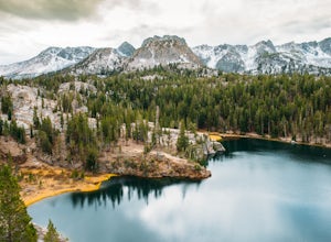
5.02.11 mi / 500 ft gainYou will see a couple of trailheads starting by parking at the Coldwater Creek Campground parking lot. This one is specifically marked Heart Lake. There will be a couple of forks in the trail, but if you stay right and on the more obvious path, you will be up to Heart Lake in no time. (Going left...Read more -
Mono County, California
Shepherd Hot Springs
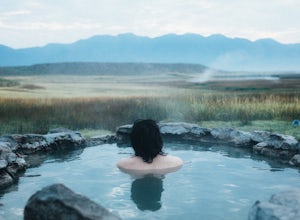
4.0Located a short distance from US 395 near Mammoth/Yosemite Airport, Shepherd Hot Spring provides a great opportunity to relax while taking in spectacular views of the Eastern Sierras and surrounding area. After a hard day on the slopes or long day on the trail this hot spring provides a comforta...Read more -
Mono County, California
Crab Cooker Hot Springs
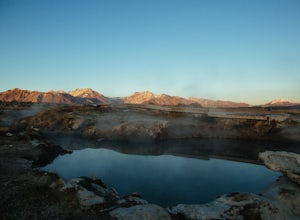
Getting There: Take Highway 395 heading toward Benton Crossing Road. Turn onto Benton Crossing and you’ll see an adorable wee green church. Continue two miles down the road. You’ll make a left turn and head down a dirt road. Cell service is scant in this area, so you'll probably want to...Read more -
Wild Willy's Hot Spring, United States
Wild Willy's Hot Spring
5.0Also known as "Crowley Hot Springs", Wild Willey's is located a short drive from Mammoth Lakes. For more information on the hot springs and the public land restoration, check out the BLM's Website. From Mammoth Lakes, head south on the 395 for 3.5 miles until you make a left at Benton Crossing Rd...Read more -
Yosemite Valley, California
Hike to Hidden Falls (aka Tenaya Creek Falls)
4.2Also known as Tenaya Creek Falls or Three Chutes Falls, this spot is loved by locals and is definitely worth the hidden trail and scramble over rocks. The hike takes you along Tenaya Creek, Mirror Lake, and a boulder-filled canyon. Great for photos or for relaxing by some secluded falls. To get t...Read more -
Mariposa County, California
Little Yosemite Valley Campsite and Half Dome
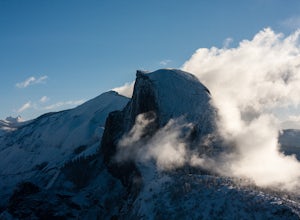
4.613.88 mi / 4800 ft gainFirst things first. You will need to get a wilderness pass by entering the lottery for Half Dome access. If you don't get a pass via lottery just go to the Yosemite Valley visitor center, tell the clerk you are backpacking to Little Yosemite Valley and that you would like to hike up Half Dome. Th...Read more -
37.732842,-119.557782
Panorama Trail
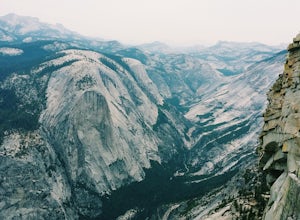
4.816.87 mi / 3200 ft gainThe Panorama Trail is an outstanding hike that takes you from the Yosemite Valley floor up to Glacier Point. Or you can hike it downhill going from Glacier Point to Yosemite Valley. You can camp and make it an overnight trip or do it as a day trip by leaving a car at one end and taking a park sh...Read more -
Yosemite Valley, California
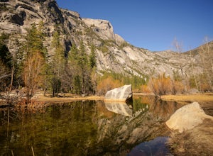
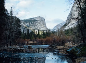
Mirror Lake
4.62.56 mi / 190 ft gainMirror Lake is a very popular spot in the Yosemite Valley and definitely a must see to check off your explore list. Crowds are much smaller if you go during the winter, but some parts of the water might be iced over. The trailhead you take to get there is well marked and can be found at the far ...Read more

