Lone Pine, California
Looking for the best camping in Lone Pine? We've got you covered with the top trails, trips, hiking, backpacking, camping and more around Lone Pine. The detailed guides, photos, and reviews are all submitted by the Outbound community.
Top Camping Spots in and near Lone Pine
-
Inyo County, California
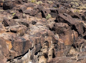
Fossil Falls Trail
4.30.58 mi / 43 ft gainFossil Falls is located east of Highway 395, a few miles south of Coso Junction, 45 min north of Ridgecrest. There is Bureau of Land Management sign pointing the way, but it is small, faded, and easy to miss, so be on the lookout. After about a mile drive on a marked dirt road, you'll reach the ...Read more -
Bishop, California
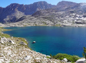
Evolution Basin via South Lake
35.66 mi / 7769 ft gainIt’s been called the crown jewel of the Sierra Nevada, the highlight of the entire 211-mile John Muir Trail. Whatever superlatives are used to describe it, Evolution Basin is undoubtedly one of the most incredible landscapes you’ll ever explore. There is a small catch, though: There is no easy ...Read more -
Bishop, California
Treasure Lakes Trail
5.05.79 mi / 1375 ft gainThe Treasure Lakes Trail is dog and kid friendly, just make sure all parties can handle the elevation gain. The scenery throughout the entire hike is amazing, and early in the summer, the creeks roar. The lake is perfect for cooling off on a hot summer day. The trail is best used in the summer an...Read more -
Bishop, California
Long Lake via Bishop Pass
5.51 mi / 991 ft gainDirections The trailhead for Long Lake starts by South Lake outside Bishop, CA. You'll want to take Line Street, which is the 168, West out of Bishop. Approximately 14 miles up, you'll want to merge left towards South Lake. This junction is well-signed if you keep an eye out for it. Head th...Read more -
Bishop, California
Climb Columbine Peak's NE Ridge
15 mi / 5000 ft gainDirections This Bishop Pass Trail starts by South Lake outside Bishop, CA. You'll want to take Line Street, which is the 168, West out of Bishop. Approximately 14 miles up, you'll want to merge left towards South Lake. This junction is well-signed if you keep an eye out for it. Head the rest ...Read more -
Tulare County, California
Hike the Sugar Bowl Loop in Kings Canyon NP
4.56.5 mi / 1480 ft gainFirst and foremost, to get to this trailhead you need to drive down a 2-mile, one lane dirt road that is quite steep. It is highly recommended you do this in an AWD or 4WD vehicle, especially since the road can be muddy from snowmelt or after a recent rain. We have a 2WD car but used chains for e...Read more -
Hume, California
Hike and Fish Hume Lake
2.73.5 mi / 100 ft gainThis spot is less than four hours from the Bay Area and offers everything you would ever want to do in the outdoors. The interesting thing about Hume Lake is that it is actually a Middle School and High School camp in the Summer and Winter. That being said, it is not the place to go if you are lo...Read more -
Camp Nelson, California
Fly Fish the Kern River above the Johnsondale Bridge
5.04 mi / 100 ft gainCheck in at the local fly fishing shop in Kernville to check the latest status, then continue up the 20 mile stretch of Mountain Hwy 99 until you cross the Johnsondale Bridge. Park, pack, then begin your 30-45 minute hike up the trail before setting your rod.After you're finished, stop by the Ker...Read more

