Loyalton, California
Looking for the best hiking in Loyalton? We've got you covered with the top trails, trips, hiking, backpacking, camping and more around Loyalton. The detailed guides, photos, and reviews are all submitted by the Outbound community.
Top Hiking Spots in and near Loyalton
-
Olympic Valley, California
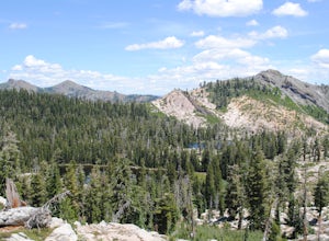
Hike to Lake Estelle and Five Lakes
6 mi / 1000 ft gainThis hike starts at Alpine Meadows Base Camp and finishes on Alpine Meadows Road. The end point is less than a half mile from the base, and an easy walk up a slight hill. Park at base camp and head on the trail to the far right of all of the lifts. Proceed up the trail for half a mile (this is th...Read more -
Nevada City, California
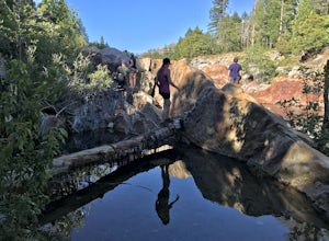
Emerald Pools
4.00.68 mi / 49 ft gainEmerald Pools is an out-and-back trail that takes you by a river located near Emigrant Gap, California.Read more -
Tahoe City, California
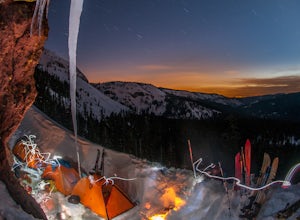
Ride Twin Peaks in Lake Tahoe's Backcountry
This trip is best done in two days with an approach day and then a descent day. Get started at the base of the Sherwood Chair on the backside of the Alpine ski area. Head up, outside of the ski area boundary toward the high ridge.Once on the ridge, you follow it south for a few miles until reachi...Read more -
New Washoe City, Nevada
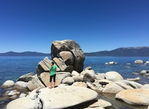
Photograph Bonsai Rock
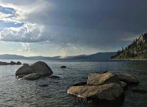
5.0Bonsai Rock is a popular attraction for photographers as it is a unique boulder with tiny trees growing out of it, enclosed next to the shoreline. This makes it a beautiful place to enjoy a scenic sunset, as well as play with some long exposure photography.It's located on the east side of Lake Ta...Read more -
Carson City, Nevada
Relax at Tahoe's Chimney Beach
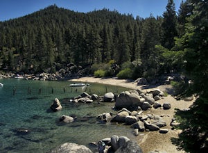
5.02.2 miLocated on the East Bank of Lake Tahoe along Highway 28, Chimney Beach is a great alternative to the more popular and heavily used beaches which can be quite a challenge to gain access due to the parking limitations during the busy summer months and on weekends.From the parking area on the east s...Read more -
Carson City, Nevada
Marlette Lake via Chimney Beach Trailhead
4.05.96 mi / 1713 ft gainThis trail starts right off NV28 between Chimney Beach and Great Tahoe Beach. Around 30 minute drive from South Lake Tahoe and the CA/NV border, we arrived close to 10am with plenty of parking available. While it seemed the trail was heavily used by mountain bikes, we encountered zero during our ...Read more -
Homewood, California
Eagle Rock
4.00.84 mi / 105 ft gainStarting at an outcrop off Highway 89 in Tahoe Pines, hikers make their way up the trail through a gradually sloping forest. Climbing rocks and logs, it is strenuous at times but only takes about 15-20 minutes to accomplish. Once at the top, the elevation is 6,286 feet and consists of an absolute...Read more -
Carson City, Nevada
Hike to Secret Cove
5.00.9 mi / 209 ft gainTake a short little hike down from HWY 28 to Secret Cove to relax on the beach on sunbathe on rocks. The water is incredibly clear and has different shades of turquoise. There are many rocks to climb on and the water is great for swimming. It gets crowded early, and is a nude beach, so plan accor...Read more -
Carson City, Nevada
Secret Harbor / Whale Beach
4.01.67 mi / 384 ft gainSecret Harbor / Whale Beach is an out-and-back trail that takes you by a lake located near Carson City, Nevada.Read more -
New Washoe City, Nevada
Deadman's Overlook Trail
4.01.28 mi / 318 ft gainDeadman's Overlook Trail is a loop trail where you may see beautiful wildflowers located near Washoe Valley, Nevada.Read more -
Doyle, California
Camp at the Fort Sage OHV Area
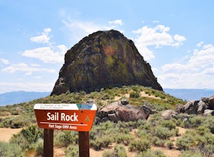
The recreation area consists of approximately 29,000 acres of public land that is managed primarily for off highway vehicle use and winter deer range. Vehicle use within the recreation area is limited to designated roads and trails to ensure that the two primary uses remain compatible throughout ...Read more -
Carson City, Nevada
Hike to Skunk Harbor
4.5The parking for Skunk Beach is very limited and a little difficult to find. Make sure you get there early if you want a spot. The parking is a turnoff along highway 28, about two miles north of the junction with highway 50. There is no trail sign or anything but there is an old green pipe gate wh...Read more -
Carson City, Nevada
Skunk Harbor
4.02.83 mi / 564 ft gainSkunk Harbor is an out-and-back trail that takes you by a lake located near Glenbrook, Nevada.Read more -
Tahoe City, California
Hike the Ellis Peak Trail
5.06.3 mi / 1660 ft gainThe Ellis Peak Trail is close to North Lake Tahoe. The trail features scenic wildflowers in the spring and summer. Dogs are allowed on the trail but must be kept on leash. Directions from Truckee: Take Highway 80 south and drive to Tahoe City - continue south on Highway 89 from Tahoe City for 4....Read more -
Carson City, Nevada
Goni Canyon Preservation League Walking Trail
3.01 mi / 95 ft gainGoni Canyon Preservation League Walking Trail is a loop trail where you may see beautiful wildflowers located near Carson City, Nevada.Read more -
Reno, Nevada
Hike to the Monkey Condos and Needle Rock
7.25 mi / 1600 ft gainThis loop takes hikers past several features and areas of interest hidden in the Virginia Mountains about 25 miles north of Reno. These mountains are scenic and rugged, with towering dramatic features that make visitors feel immensely small amidst them. Couple that with how few visitors these roa...Read more

