Marina, California
Marina, California, boasts some of the best outdoor activities and attractions. A must-visit is the Fort Ord Dunes State Park, a top spot for hiking, biking, and fishing. The park offers four miles of scenic ocean views, a boardwalk, and a 1,500-foot trail. The trail is moderately difficult, perfect for those looking for a bit of a challenge. Another fantastic trail is the Marina Dunes Preserve. This trail takes you through unique sand dune formations and offers striking views of the Pacific Ocean. It's a great place for bird watching and beachcombing. If you're up for more outdoor adventures, head to the Locke-Paddon Park. This community park features a beautiful lake, walking paths, and picnic areas. These are just a few examples of the best trails and outdoor activities in Marina, California.
Top Spots in and near Marina
-
Pacific Grove, California
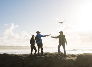
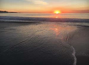
Catch Sunset on Asilomar State Beach
Asilomar, or “refuge by the sea” definitely lives up to its name. The beach is expansive and less-populated than other nearby destinations. With large sandbars and rocky outcroppings, it is a great place to enjoy sunset. This beach is also known for its premium surf, so expect a show from the lo...Read more -
Pacific Grove, California
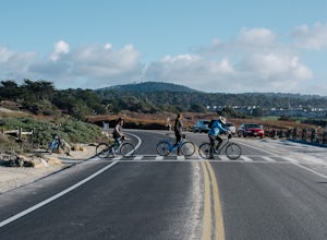
Bike at Asilomar State Beach
At Asilomar State Beach, adventure is accessible in many forms. I had the opportunity to rent a bike from Adventures by the Sea. Rentals start at $25, and while you are not permitted to ride along the boardwalk that leads you to the beach, you may walk your bike through the exquisite sand dunes A...Read more -
Pacific Grove, California
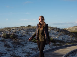
Exploring Asilomar's Ancient Sand Dunes
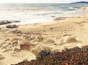
4.0Asilomar State Beach covers 107 acres of land. It is home to a delicate ecosystem that has been sustained through the years after it was almost destroyed. The intricate dunes at Asilomar are what have survived after the over-grazing back in the early 1900's that damaged about 480 acres of dunes. ...Read more -
Del Monte Forest, California
Relax at Spanish Bay
Spanish Bay is a beach with a view point at the southern tip. You can see waves crashing into rocks and the many different shades of blue. This is a great spot for anyone exploring 17 Mile Drive, as it is scenic and perfect for picnics. There is a golf course nearby that offers some of the mos...Read more -
Del Monte Forest, California
17-Mile Drive to Carmel Road Ride
5.07.75 mi / 312 ft gain17-Mile Drive to Carmel Road Ride is a point-to-point trail where you may see wildflowers located near Carmel-by-the-Sea, California.Read more -
Carmel-by-the-Sea, California
Catch a Sunset at Carmel Beach
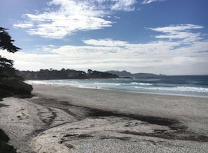
4.7It’s a dream of mine to live in Carmel-by-the-Sea. You might recognize Carmel because Clint Eastwood was the mayor from 1986 to 1988. An idiosyncrasy you may not know about Carmel is the fact that there are no street addresses on any house in Carmel. Everyone gets their mail at the post office...Read more -
Del Monte Forest, California
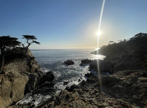
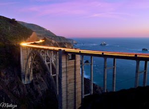
Explore Highway 1 from Carmel to Big Sur
4.6Being from the Central Coast, every time I visit the area I like to do the same trip - Simply because it is amazing. The trip starts along 17 mile drive located in Carmel. From the road, you see the Central Coast icon, the Lone Cypress. Being one of the most photographed trees in North America, i...Read more -
Carmel-by-the-Sea, California
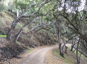
Hike to the Top of Inspiration Point
5.01.3 mi / 850 ft gainThis magnificent trail was recently converted into part of the Monterey Regional Parks System. Walk through pastures of cows, through coast oaks, up a steep incline with vast views of Carmel Valley, Carmel and the Pacific Ocean up to the top where a picnic table awaits you at Inspiration Point. T...Read more -
Carmel-by-the-Sea, California
Hike along the Carmel River Beach Trail
1 mi / 100 ft gainKnown as "Ribera Beach" by locals, this stretch of land nestled between Carmel River State Beach and Monastery Beach is not to be missed! The trails are easy to get to and can be accessed by 4 locations. The first entrance is on Highway 1 at the Bay School (between Ribera Road and Monastery Beach...Read more -
Carmel-by-the-Sea, California
Surf Carmel River State Beach
5.0Carmel State beach is located in Monterey county. It's your typical beach break with both lefts and rights. One thing that is super unique about Carmel is that the water is some of the clearest in all of California. Depending on the sandbars, this can be a really fun wave! It's also a great p...Read more -
Carmel-by-the-Sea, California
Whalers Cove Loop
4.31.42 mi / 253 ft gainPoint Lobos is one of the hidden gems of the California coast. Located just off of Route 1 right after Monterey, Point Lobos is a state park on the coast. The cost to explore inside is ten dollars, but so worth it. As you explore, be sure to hike around Whalers Cove, which is incredible at sunse...Read more -
Carmel, California
Point Lobos Natural Preserve Loop
4.77.14 mi / 640 ft gainPoint Lobos contains headlands, coves and rolling meadows, and its offshore area forms one of the richest underwater habitats in the world, popular with divers. Wildlife includes seals, sea lions, sea otters, migrating gray whales (from December to May), and thousands of seabirds, who also make t...Read more -
Carmel-by-the-Sea, California
Cypress Grove Trail via South Shore Trail
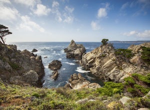
5.01.72 mi / 121 ft gainCypress Grove Trail via South Shore Trail is a family-friendly loop hiking trail located near Carmel-by-the-Sea, California. Along this hike in Point Lobos State Natural Reserve, you'll get a chance to see beautiful coastal views with rugged cliffs, views across Monterey Bay, and Cypress trees as...Read more -
Carmel-by-the-Sea, California
Soberanes Point
1.82 mi / 295 ft gainGarrapata State Park is located along California's Highway 1, roughly 5 miles south of Carmel, California. The park is entirely free with multiple pull-outs and serves as one of the first grand views travelers encounter while heading south from the Monterey Peninsula to southern California. Garra...Read more -
Carmel-by-the-Sea, California
Secluded Beach Near Soberanes Point
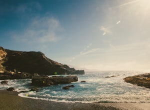
5.00.2 mi / 40 ft gainWhen we stumbled upon this beach we were thrilled to have such great views with no crowds. There is plenty of room to lay out in the sun, you can swim in the ocean to cool off, and the beach is surrounded by beautiful landscape. If you decide to swim be very careful as the waves and currents ca...Read more -
Carmel-by-the-Sea, California
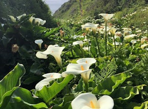
Calla Lily Valley
4.50.31 mi / 46 ft gainParking for Calla Lily Valley is available along the dirt pullout at Gate 19 for Garrapata State Park, near mile-marker 63. Signs are small and difficult to see. Follow the path between the guide wires and take the right fork, heading north to the bluff overlooking the beach. Continue north and f...Read more

