Markleeville, California
Looking for the best hiking in Markleeville? We've got you covered with the top trails, trips, hiking, backpacking, camping and more around Markleeville. The detailed guides, photos, and reviews are all submitted by the Outbound community.
Top Hiking Spots in and near Markleeville
-
Echo Lake, California
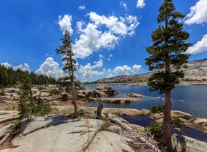
Explore the Alpine Lakes of Desolation Wilderness
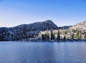
5.0This incredible hike offers you the opportunity to visit the heart of desolation without climbing more than about 600 feet of elevation. Begin at the boat taxi at Lower Echo Lake. The taxi costs $12/person each way and is $5 each-way for your furry friend. The taxi leaves the dock at frequent int...Read more -
Echo Lake, California
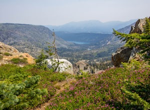
Hike to Jabu Lake in Desolation Wilderness
3.7Although this hike can be done as a day hike, there are incredible camping spots near the lake. The easiest way to start this hike is to start at the Echo Lakes. There is ample parking above the marina and you even have the option of taking a water taxi across the echo lakes to cut off around 2.5...Read more -
Echo Lake, California
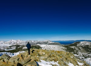
Ski Ralston Peak
5.0Ralston Peak is a classic south Lake Tahoe backcountry skiing and snowboarding area, and is excellent for hiking in the summer, too. Please note, however, that backcountry skiing and snowboarding is dangerous – make sure you know the conditions and have avalanche equipment.There are two main appr...Read more -
Echo Lake, California
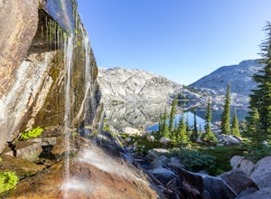
Backpack to the "Waterfall Camp" in Desolation Wilderness
4.710.5 mi / 1522 ft gainAlthough this hike can be done as a day hike, it is an awesome place to camp. There is a lot to explore and you will want to spend as much there time as you can. The easiest way to start this hike is to start at the Echo Lakes. There is ample parking above the marina and you even have the option ...Read more -
Echo Lake, California
Hike Flagpole Peak from the bottom of Echo Summit
3.5 mi / 1900 ft gainFor this hike there are two places you can start from. One is at the Echo Lakes parking lot and the other is at the bottom of Echo Summit (where we started at). Parking at the gun tower at the bottom of Echo Summit you'll be looking right at the face of Flagpole. After parking just off the side o...Read more -
Arnold, California
Backpack To Wheeler Lake
5.07.8 mi / 1000 ft gainThe trail to Wheeler Lake begins at the Woodchuck Basin Trailhead. This trailhead is located a little over a mile east of Lake Alpine on Highway 4. The trail starts off relatively flat and winds through forests and meadows, taking you into the Mokelumne Wilderness. Time it right and you'll be met...Read more -
Amador County, California
Hike to Thunder Mountain at Carson Pass
7 miThe trailhead begins on Rt 88 just past Kirkwood Resort or Silver Lake - depending on which way you are headed. There is plenty of parking but no other amenities. The trail begins at 7,900 ft and climbs steadily up Two Sentinels then along the ridge to Martins Point, ending at the 9,408ft summit ...Read more -
Coleville, California
Hike to Tamarack Lake, Carson-Iceberg Wilderness
4.010 mi / 2000 ft gainThe trailhead begins at the end of Golden Gate Rd in Coleville, Ca on highway 396. There are very limited signs, so maps are necessary! Depending on how fast of a hiker you are, you can most likely reach the lake in 6 hours with minimal breaks. If you cannot start in the morning, there are beauti...Read more -
Pioneer, California
Hike to Granite Lake
Take the road to Kit Carson Lodge. When the road turns to dirt, take this one-lane dirt road as far as you can go. The road terminates into a round parking area, however, as of the writing of this post, there was a large tree blocking the road about 250 ft before the end.The Trailhead is clearly ...Read more -
Pioneer, California
Camping at The Pots
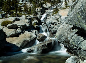
4.2This fantastic camping or chilling spot has beautiful granite pools and slides of all sizes. The area consists of a river flowing over a granite slab creating pools some of which are over ten feet deep. The water cascades down the granite in small water falls. The area is located next to Silver L...Read more -
Arnold, California
Hiking Disaster Creek
While this is not a terribly scenic hike, the trees, creek, and terrain are very beautiful, and the entire area is quiet and peaceful. You're likely not to pass a single other person on the hike, which is great for letting dogs off-leash.The trail starts off with a series of switchbacks, which ga...Read more -
Twin Bridges, California
Hiking to Ralston Peak
4.07 mi / 2375 ft gainStarting at the lower lot it's less than a mile to access the trail. The hike starts off in shade through a lot of red fir forest and continues at a steady upward route. Approximately 45 mins into the hike you'll come across a sign that says you are entering desolation wilderness. The forest will...Read more -
South Lake Tahoe, California
Capture the Sunset at the Angora Ridge Fire Lookout
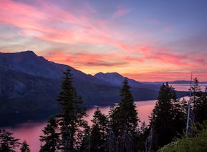
The Angora Ridge Fire lookout sits above the serene Fallen Leaf Lake with incredible views of Mt. Tallac and Desolation Wilderness. You can hike, bike or drive to the lookout. This is a great spot to photograph the sunset, as the sky will reflect off both Fallen Leaf Lake and Lake Tahoe. Bring a ...Read more -
South Lake Tahoe, California
Bike the Van Sickle Bi-State Park Trail
4.5Starting at the top of Stagecoach Lift on Heavenly Resort this trail wraps around the north slope down to the bottom of town at the casinos. It has amazing view all the way down as you make your way down the woods up top and then cruise through the burn area near the gondola fire down to the bott...Read more -
Twin Bridges, California
Ropi Lake via Pyramid Creek
4.74.87 mi / 1581 ft gainThe trailhead to begin this hike is located at: 38.8117 N, 120.1237 W. From Hwy 50 just south of Lake Tahoe, take Hwy 50 southwest for almost 11 miles, where you'll turn into the parking lot after crossing Pyramid Creek. There is a $5 day-use fee to park in the trailhead parking lot. The hike i...Read more -
Twin Bridges, United States
Hike Horsetail Falls
4.22.8 mi / 700 ft gainGreat views are waiting for you at the top of Horsetail Falls. Pyramid Creek flows down the steep, glacier carved granite faces of Desolation Wilderness to create this awesome waterfall that is estimated to be about 800 feet tall. You will follow Pyramid Creek up the granite rocks to the top of t...Read more

