Mono County, California
Looking for the best photography in Mono County? We've got you covered with the top trails, trips, hiking, backpacking, camping and more around Mono County. The detailed guides, photos, and reviews are all submitted by the Outbound community.
Top Photography Spots in and near Mono County
-
Wawona, California
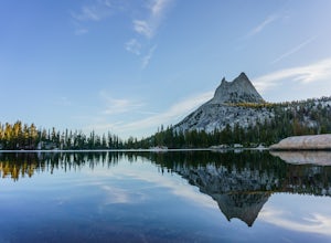
Cathedral Lakes
4.89.04 mi / 1100 ft gainStarting at the Cathedral Lakes Trailhead near the Tuolumne Meadows parking lot (if parking is full at the TH), this trail wanders through the classic High Sierra forest with large white granite boulders and pine trees. After approximately 4 miles of quiet solitude in the forest, you will reach ...Read more -
Cathedral Lakes Trailhead
Tuolumne Meadows to Yosemite Valley
5.030.82 mi / 6109 ft gainYosemite is an iconic park, and if you are looking for isolation with spectacular views of the backcountry this trip is for you. The trail itself is approximately 33 miles and can be done in 3-4 days, but I recommend a 6 day hike to enjoy the scenery and to have the opportunity to soak in each lo...Read more -
Wawona, California
Pothole Dome
5.01.01 mi / 250 ft gainGetting There From the Tuolumne Meadows Visitor Center, head west on Tioga Road/ Hwy 120 towards Tenaya Lake. You'll only travel about 1 mile down the road until you see Tuolumne Meadows open up again on your right, and there will be a very large gravel pull out where you can park. Pothole Dome ...Read more -
Mono County, California
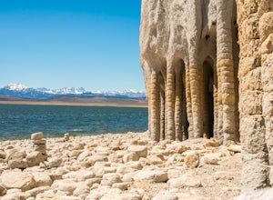
Explore Crowley Lake Columns
4.0Starting from Mammoth Lakes you head South on Highway 395 until you get to Benton Crossing Rd. (Green Church on the corner) and make a left.From Bishop you head North for about 30-40 miles until you hit Benton Crossing Rd. and make a right.From here, continue West and bending South for close to 2...Read more -
Bridgeport, California
Hike to Peeler Lake
11 mi / 2400 ft gainThis trip can be done as a day trip or backpacking trip. It is around an 11 mile out-and-back trip.Park at Twin Lakes in Bridgeport, CA. There is a $10 fee and it can take a while on busy weekends. A permit is required to stay overnight in Hoover Wilderness. The trailhead can be hard to find; it ...Read more -
Mammoth Lakes, California
Photograph the Fall Colors of McGee Creek
5.03 mi / 500 ft gainMcGee Creek is one of my favorite spots in the Eastern Sierra to photography the fall color. Most people avoid the area because the best views require you to hike and explore but the rewards are worth it. Right close to the parking lot is McGee Creek which is a beautiful creek to photograph offer...Read more -
Mammoth Lakes, California
Hike to Steelhead Lake through McGee Creek Canyon
5.011.5 mi / 2510 ft gainWhether you’re looking for a dayhike near Mammoth Lakes, planning a backpacking trip along the JMT, or have a few extra hours to spare on a cross-California road trip, this is an easy and popular trail choice for killer mountain views.I was delighted to discover that this is one of the most easil...Read more -
Bridgeport, California
Climb Matterhorn Peak via the East Couloir
10 mi / 6000 ft gainMatterhorn Peak in the northeastern Yosemite Wilderness is an SPS Emblem Peak and many regard it as the beginning of the High Sierra, as there are no peaks higher to the north in the Sierra Nevada.There are many routes to the summit, but the shortest and most direct (though not easiest) begins at...Read more -
Bridgeport, California
Hike to Barney Lake in Hoover Wilderness
3.0Barney Lake makes for an incredible day hike or trail run, but is also very accessible for camping.Start at the trailhead near the Mono Village Resort at Twin Lakes and follow the Robinson Creek Trail. If you plan on hiking during the winter, the resort will be closed and you will have to park at...Read more -
Mariposa County, California
Hike to Tuolumne Peak Plateau
11.7 mi / 1800 ft gainThe most direct route begins at Murphy Creek trailhead, on the north side of Tioga Road near Tenaya Lake. Walk north on Murphy Creek trail for 2.5 miles with minimal elevation gain. Polly Dome Lakes are a great side trip via the social trail on the right side of the trail before the first junctio...Read more -
Mariposa County, California
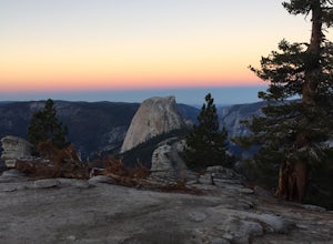
Clouds Rest to Half Dome
18.52 mi / 4000 ft gainBecause this is not a loop, you will need to figure out a shuttle situation. There are two options for this: 1. Drive your car to the Tenaya Lake Trail Head, and leave it parked there. Once you reach the Valley you will be car-less, but then the next day you can take one of the free shuttles u...Read more -
Yosemite Valley, California
Tenaya Lake
4.63.08 mi / 0 ft gainTenaya Lake is located alongside Tioga Road in the park's Tuolumne Meadows region. There is a family-friendly trail that surrounds the lake. Though some spots along the trail on the western shore may require fording the waters, the 2.5-mile trip is an easy hike for all to enjoy. Many others pre...Read more -
Mariposa County, California
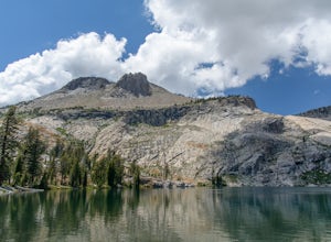
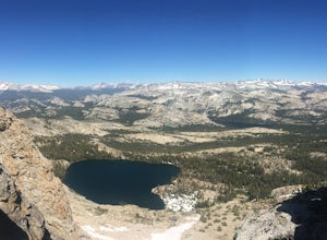
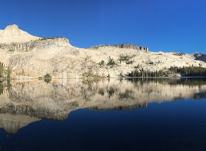
May Lake Trail
4.02.34 mi / 489 ft gainMay Lake is a stunning, serene subalpine lake that rests at the base of Mt. Hoffmann. The May Lake turnoff is located four miles past Tenaya Lake. From the turnoff, it's 1.8 miles to the trailhead parking lot. During summer time, I will recommend getting to the parking area early to get a spot ...Read more -
Mariposa County, California
Mt. Hoffman via May Lake Trailhead
5.55 mi / 2140 ft gainThe May Lake trailhead is at the end of a 2-mile unpaved road leading north from Tioga Road. The trailhead has pit toilets and bear lockers. (Please be sure to store any food, garbage, scented items, and empty coolers in these lockers while hiking!) After hiking an easy 1.3 miles, you'll arrive ...Read more -
Mariposa County, California
Hike Mt. Hoffmann via the East Chute
6 mi / 3000 ft gainThis is a solid, day long trip. It is a great hike with a bit of a scramble on the way up to the summit massif and then again at the nearly 11,000-foot peak of Mount Hoffmann. You will have what John Muir described as his favorite view of Yosemite. You can look down onto Half Dome and across the ...Read more -
Mariposa County, California
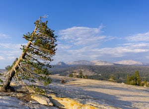
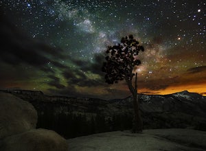
Olmsted Point
5.00.4 miJust off the side of the highway, look for the pullout for Olmsted Point on your Map. There is a parking area with about 25 parking spots and the lookout point with the tree is right next to there. Come in the summertime and during a new moon to get the best views of the Milky Way. Never crowded,...Read more

