Mono County, California
Mono County, California is the perfect destination for outdoor adventures. With its rugged terrain, beautiful lakes, and stunning mountain views, there are plenty of top attractions and activities to explore. From hiking and camping to fishing and mountain biking, there is something for everyone to enjoy. Popular attractions in the area include the June Lake Loop, Bodie State Historic Park, and Mono Lake. For a scenic view, head to the Mammoth Mountain Ski area or the Tioga Pass. For a more adventurous experience, check out the Rush Creek Trail or the Mono Pass Trail. Whether you’re looking for a leisurely stroll or an adrenaline-filled adventure, Mono County has something for everyone.
Top Spots in and near Mono County
-
Mono County, California
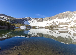
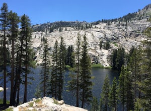
Leavitt Lake in Stanislaus National Forest
4.07.44 mi / 1385 ft gainSituated on the eastern edge of Emigrant Wilderness, Leavitt Lake is a great introduction to backpacking in the Sierra Nevada. Leavitt Lake is located at the end of Forest Service Route 077 off of Highway 108. It is actually possible to drive to Leavitt Lake, but a high clearance vehicle is requi...Read more -
Mariposa County, California
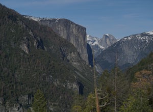
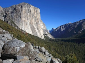
Hike to Turtleback Dome
1.4 mi / 350 ft gainTurtleback Dome will provide you with views of southern Yosemite and the Valley in a less crowded area. This hike on a service road is relatively easy with a slight elevation gain over the entire 0.7 miles. To get to the Trailhead, take Wawona Road north towards the valley. Use the referenced poi...Read more -
Lakeshore, California
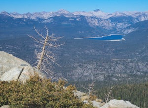
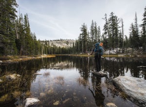
Hike to White Bark VIsta
2.3 mi / 462 ft gainA short 1 mile hike in from Kaiser Pass will lead you to the top of a ridge line with incredible views toward the east. There are two pit toilets located at the top of Kaiser Pass. If you have a high clearance, 4x4/AWD vehicle you can probably drive to this location. (I made it up here in a stock...Read more -
Lakeshore, California
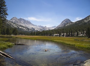
Evolution Valley via Florence Lake
4.530.36 mi / 3238 ft gainYou can get to the Evolution Basin a variety of ways, but the easiest is through the Florence Lake Trailhead. Here, you can choose to either take the Florence Lake Ferry across the lake, or save $25 and hike the extra 4 miles around the lake. Personally, I would choose the ferry. About five mile...Read more -
Lakeshore, California
Backpack to Crater Lake, Sierra National Forest
8.4 mi / 2100 ft gainStarting at Lake Florence, this hike starts out with a climb up and keeps this up over the next 3 miles. After about 3 miles of climbing you reach another lake, Dutch Lake which provides shade and a nice place to rest. From there it's a relatively flat 1.2 miles in to your destination. Once at Cr...Read more -
Mariposa County, California
Hike Old Big Oak Flat Road
4.1 mi / 1070 ft gainOld Big Oak Flat Road used to be one of the main entries into Yosemite Valley, before HWY 120, 140 and 41. It was a dangerous road which had to be realigned, reconstructed and maintained continuously and was eventually closed in the 1940’s after a giant rockslide made it completely irreparable. T...Read more -
Wawona, California
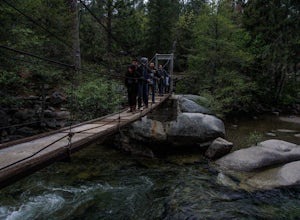
Wawona Swinging Bridge Trail
1.29 mi / 121 ft gainThe hike to the Wawona Swinging Bridge is a 0.7 mile dirt path. Start at the trailhead located next to the parking lot. The hike is surrounded by many trees which offers a lot of shade. For the first couple of minutes the trail is fairly straight. You then begin to hike down for just a minute or ...Read more -
Yosemite National Park, California
Buena Vista Lake via Chilnualna Falls Trailhead
24.64 mi / 5453 ft gainHiking and camping at Buena Vista Lake is a beautiful way to see the south side of Yosemite… the name says it all. With beautiful 360 degree views from Buena Vista Peak you get to look at the backside of Half Dome, up to Clouds Rest and all the domes and peaks in-between. You can reach the trail...Read more -
Yosemite National Park, California
Hike to the Top of Chilnualna Falls
4.39.2 mi / 2300 ft gainMany visitors to Yosemite head straight to the valley and don't often explore the other areas of the park. So if you are interested in staying away from the massive crowds and getting to enjoy the beauty of the park a little more quietly, the Wawona is a great option for a getaway. The Chilnualna...Read more -
Yosemite National Park, California
Backpack to Johnson Lake
24 mi / 4500 ft gainYour trek begins at the Chilnualna Falls trailhead in Wawona near the South Gate in Yosemite. The first suggestion I have is to check the weather in the area to make sure you won't be slowed down by rain or snow. It's about 12 miles from the trailhead to the lake and if you are a swift hiker and ...Read more -
Yosemite National Park, California
Backpack to Crescent Lake
20 mi / 4100 ft gainCrescent Lake is another beautiful spot a long the Beuna Vista loop. Starting at the Chilnualna Trailhead in Wawona, you start your journey climbing about 4.6 miles and 2,300 feet to the top of Chilnualna Falls (always a good place to rest). Beyond the falls, continue a long the trail and always ...Read more -
Groveland, California
Hetch Hetchy to Rancheria Falls
4.812.55 mi / 2500 ft gainSituated in the northwest portion of Yosemite National Park, Hetch Hetchy is is a not often visited treasure of the Central Sierra Nevada. In 1913, in an extremely controversial move, work on the O’Shaughnessy Dam was started to provide water to the growing population of San Francisco. Today, Het...Read more -
Groveland, California
Wapama Falls
4.71 mi / 623 ft gainHetch Hetchy has a completely different character than other areas of Yosemite National Park, and the hike to Wapama Falls is an excellent way to explore this relatively remote section of the park. You can only imagine what this valley looked liked before it was dammed and is second to none compa...Read more -
Bishop, California
Camp at Pleasant Valley Pit
3.5Pleasant Valley Pit offers 75 sites, fires outside camping area need a permit, a dumpster is in the campground, 4 vault toilets, no water, some tables, fire rings. To get here, head 0.5 miles off of the Pleasant Valley Road. $2 per vehicle. Learn more at blm.govThis campground is dog-friendly, bu...Read more -
Fish Camp, California
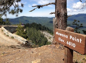
Hike through Mariposa Grove to Wawona Point
6 mi / 1200 ft gainThere is easy parking in the Mariposa Grove parking lot. There are a variety of trails through the grove; you can follow the NPS guide maps to see each of the iconic trees. These include tunnel trees you can walk through as well as overturned trees showing the immense root systems. From the parki...Read more -
Bass Lake, California
Climb and Camp at Shuteye Ridge
5.0The Journey to your final destination can get a little tricky once you get on the dirt roads. From the Bay Area it will take you about 3 hours to get into Oakhurst, then another hour to get to the Wilderness Area simply because of the windy and not maintained roads. On that note I would suggest t...Read more

