Mono County, California
Mono County, California is the perfect destination for outdoor adventures. With its rugged terrain, beautiful lakes, and stunning mountain views, there are plenty of top attractions and activities to explore. From hiking and camping to fishing and mountain biking, there is something for everyone to enjoy. Popular attractions in the area include the June Lake Loop, Bodie State Historic Park, and Mono Lake. For a scenic view, head to the Mammoth Mountain Ski area or the Tioga Pass. For a more adventurous experience, check out the Rush Creek Trail or the Mono Pass Trail. Whether you’re looking for a leisurely stroll or an adrenaline-filled adventure, Mono County has something for everyone.
Top Spots in and near Mono County
-
Mariposa County, California
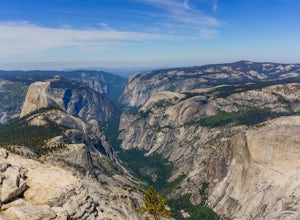
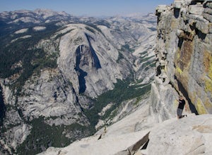
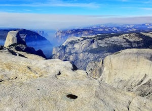
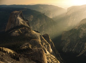
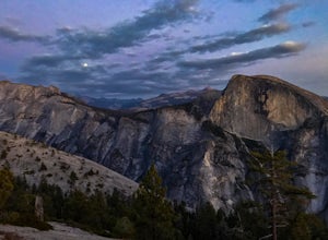
Clouds Rest via Tenaya Lake
5.014.5 mi / 1775 ft gainThe "younger" brother of the world famous Half Dome, Clouds Rest is in fact a solid 1,000 feet taller despite receiving significantly less attention. If you know about this hidden gem however, you're in luck. Starting out from the Tenaya Lake trailhead will save you crowds on the trail and the ...Read more -
Mariposa County, California
Clouds Rest to Half Dome
18.52 mi / 4000 ft gainBecause this is not a loop, you will need to figure out a shuttle situation. There are two options for this: 1. Drive your car to the Tenaya Lake Trail Head, and leave it parked there. Once you reach the Valley you will be car-less, but then the next day you can take one of the free shuttles u...Read more -
Mariposa County, California
Half Dome & Clouds Rest Loop
22.7 mi / 7000 ft gainStart and end this loop from the Sunrise Lakes TH along the Tioga Road, and in between you'll travel over 26 miles through Yosemite's backcountry gaining and losing over 7,000 feet in elevation. Unlike typical mountain summit hikes where it's climb climb climb to the top and then descend, this w...Read more -
Mariposa County, California
Sunrise Lakes to Clouds Rest
4.718.93 mi / 1775 ft gainStart out at the Tenaya Lake Trailhead, where you can head directly onto the trail for Clouds Rest or you can branch off after 2.7 miles to Sunrise Lakes. This allows you to break up the hike, spend a night relaxing and help you have an early start back on the trail. Once re-connected to the Clo...Read more -
Yosemite Valley, California
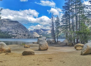
Tenaya Lake
4.63.08 mi / 0 ft gainTenaya Lake is located alongside Tioga Road in the park's Tuolumne Meadows region. There is a family-friendly trail that surrounds the lake. Though some spots along the trail on the western shore may require fording the waters, the 2.5-mile trip is an easy hike for all to enjoy. Many others pre...Read more -
Bridgeport, California
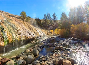
Buckeye Hot Springs
3.8From the parking lot, walk down the short but steep incline to the springs (200m). There is also a campsite within 0.25 miles.Read more -
Mariposa County, California
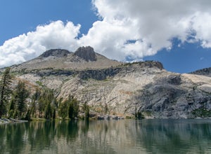
May Lake Trail
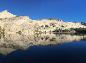
4.02.34 mi / 489 ft gainMay Lake is a stunning, serene subalpine lake that rests at the base of Mt. Hoffmann. The May Lake turnoff is located four miles past Tenaya Lake. From the turnoff, it's 1.8 miles to the trailhead parking lot. During summer time, I will recommend getting to the parking area early to get a spot ...Read more -
Mariposa County, California
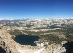
Mt. Hoffman via May Lake Trailhead
5.55 mi / 2140 ft gainThe May Lake trailhead is at the end of a 2-mile unpaved road leading north from Tioga Road. The trailhead has pit toilets and bear lockers. (Please be sure to store any food, garbage, scented items, and empty coolers in these lockers while hiking!) After hiking an easy 1.3 miles, you'll arrive ...Read more -
Mariposa County, California
Hike Mt. Hoffmann via the East Chute
6 mi / 3000 ft gainThis is a solid, day long trip. It is a great hike with a bit of a scramble on the way up to the summit massif and then again at the nearly 11,000-foot peak of Mount Hoffmann. You will have what John Muir described as his favorite view of Yosemite. You can look down onto Half Dome and across the ...Read more -
Mariposa County, California
Olmsted Point
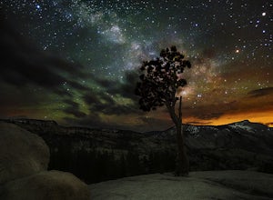
5.00.4 miJust off the side of the highway, look for the pullout for Olmsted Point on your Map. There is a parking area with about 25 parking spots and the lookout point with the tree is right next to there. Come in the summertime and during a new moon to get the best views of the Milky Way. Never crowded,...Read more -
Dyer, Nevada
Hike Boundary Peak
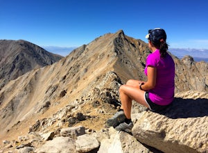
5.010.4 mi / 4000 ft gainBoundary Peak received its name because it straddles the border of California and Nevada. While technically in Nevada, just a few hundred feet away lies its taller neighbor Montgomery Peak (13,442') in California. Many people bag both peaks at once, but the rotten rock and unstable trail make Mon...Read more -
Mariposa County, California
Porcupine Creek Trail to Indian Ridge Natural Arch to North Dome
10.04 mi / 2089 ft gainPorcupine Creek Trail to Indian Ridge Natural Arch to North Dome is an out-and-back trail where you may see beautiful wildflowers located near Yosemite Valley, California.Read more -
Mariposa County, California
Backpack to North Dome in Yosemite
5.08.8 miTo stay overnight in Yosemite without a reserved campsite requires a "Wilderness Permit" to camp, but you can camp anywhere. However, any fires need to be in pre-made fire pits (so rangers can know where to check for fires) Day 1 - Hike in from the Porcupine Trailhead off of Tioga Road in to vie...Read more -
Mariposa County, California
10 Lakes Basin in Yosemite
5.013.38 mi / 2200 ft gainBeginning at the Ten Lakes trailhead, the trail to the lakes is a moderately strenuous uphill grind to Ten Lakes pass, followed by a quick downhill into the lake basin. We met a woman at the top who made sure we didn’t miss the short side trail to a vista point on the pass that offered a sweeping...Read more -
Mariposa County, California
Grant Lake via Ten Lakes Trailhead
4.012.24 mi / 2000 ft gainThe trail begins at the Ten Lakes trailhead (7600 ft) right beside Yosemite Creek. The first 4 miles start you on the ascent through the wooded forest, however there are portions of the trail that will take you through granite rock valleys marked with only cairns so keep your eyes peeled througho...Read more -
Yosemite Valley, California
Snowshoe to Snow Creek
5.010.98 mi / 2700 ft gainTake the Valley shuttle to Mirror Lake Trailhead where you will begin your hike. After a flat 2 miles, you will begin the steep three miles up to snow creek as you take one switch back after the next. This steep climb will reward you with beautiful views of Tenaya Canyon and give you a differen...Read more

