Palm Springs, California
Looking for the best photography in Palm Springs? We've got you covered with the top trails, trips, hiking, backpacking, camping and more around Palm Springs. The detailed guides, photos, and reviews are all submitted by the Outbound community.
Top Photography Spots in and near Palm Springs
-
Twentynine Palms, California
Hike the Mastadon Peak Loop
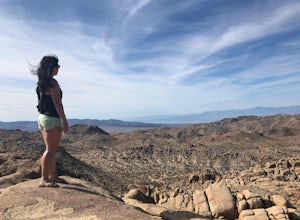
5.02.3 mi / 331 ft gainThe trail is typically used for hiking, nature trips, and trail running. There are lots of opportunities to see desert plants and flowers. On clear days, you can see the Salton Sea. There is an old mine to explore from the outside, as the entrance has been sealed. If you plan on going to the top...Read more -
Twentynine Palms, California
Explore Cottonwood Spring
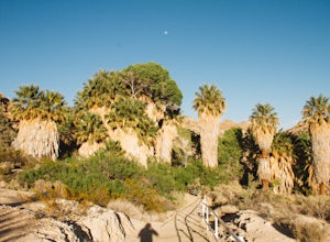
Just east of the Cottonwood Visitor Center. This scenic spot provides access to cottonwood spring. The spring is a short walk down from the parking lot, and was formed from earthquakes! It was a popular spot for natives and settlers to gather water back in the day. As you approach the springs you...Read more -
Big Bear, California
Holcomb Valley Campground
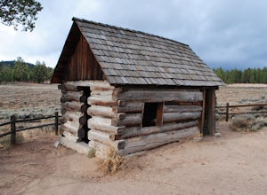
This campground is awesome! With great views, plenty of space and clean bathrooms it'll have you in for a treat! Whether it be a multiple day trip or just one night this campground is awesome. Read below for information if you are looking for a trip in the mountains! Cost: This campground is a ...Read more -
Borrego Springs, California
Hike the Calcite Mine Trail in the Anza-Borrego Desert
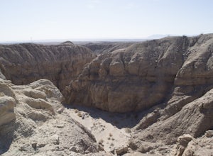
4 mi / 830 ft gainOpen from March until October - but I would not particularly recommend this hike in the summer months, unless you started in the wee almost dark hours. This is the desert and it gets hot early and quickly.This is a former calcite mine with slot canyons, great rock formations and some shady areas ...Read more -
Borrego Springs, California
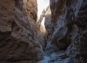
The Slot
4.72.2 mi / 266 ft gainHiking The Slot From the parking lot, you will take the trail into the canyon that is directly in front of you. This will be the hardest and steepest part of the hike. There are no trail markers for the Slot. You can take the trail to the right of the parking lot very briefly, but make sure or y...Read more -
Riverside, California
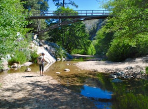
Hike Two Trees Trail
2.5 mi / 977 ft gainParking is free at the trailhead, but there is only room for approximately five cars. The trailhead is on the edge of a neighborhood, so you can park there if needed. From the parking lot, head west, and immediately veer right and across the bridge. If you go left at the first fork, you can stay ...Read more -
Ramona, California
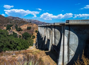
Explore the Sutherland Dam
2.01 miOnce your on Sutherland Dam Rd, follow it until your right next to the dam. Park on the side of the road where you see a small turn-out. Walk down to the side of the dam and drop down onto the concrete flooring of the dam. Walk on-top where allowed, and check out the views of the lake and the mo...Read more -
San Bernardino County, California
Aztec Falls
3.31.23 mi / 16 ft gainFrom Lake Arrowhead, take the 173 to Hook Creek Road until you dead end onto Squint Ranch Road. Take a right at the first fork in the road, and park in the lot for Splinters Cabin. The dirt road can be a bit rocky and might not be the best for small cars. Once you're there, be sure to display you...Read more -
Lake Elsinore, California
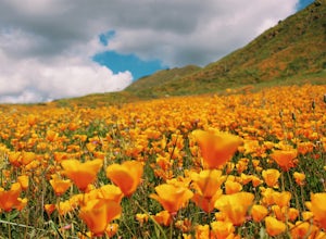
Explore Walker Canyon
4.3Walker canyon is within easy driving distance from most places in Orange County and San Diego which makes for a great day trip. While there is no official parking lot for the trail you will be able to find parking all along Lake Street and Walker Canyon Road. The trail begins at the corner of L...Read more

