Penn Valley, California
Penn Valley, California is a top spot for outdoor adventures, boasting some of the best trails and outdoor activities. The Buttermilk Bend Trail is a must-visit for hikers. This moderately difficult trail offers scenic views of the Yuba River and a variety of wildflowers during the spring season. The trail is well-marked, making it easy for first-time hikers. For water activities, head to the nearby Englebright Lake, ideal for boating and fishing. The Bridgeport Covered Bridge, a historical landmark, is another great attraction. This longest single-span covered bridge in the world makes for a perfect picnic spot. Whether you're a hiker or just someone who enjoys the outdoors, Penn Valley has something for you.
Top Spots in and near Penn Valley
-
Foresthill, California
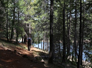
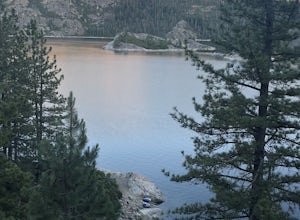
Explore Sugar Pine Reservoir
4.3Just a few miles north of Foresthill, Sugar Pine is a lesser known reservoir found in Placer County that is surprisingly unpopulated for how much the park provides. A swim suit, some friends, and some good music can be all it takes to have a good time.There is a boat-launching station that is eas...Read more -
Foresthill, California
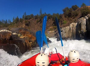
Rafting the Middle Fork American River
5.0The Middle Fork of the American River is a fun and full day of Class III/IV water rafting. You'll experience "Tunnel Chute". An very narrow 20 foot wide chute that drops you into gold miners tunnel. Other popular drops and rapids include, Kanaka Falls, Chunder, Bus Crash, Parallel Parking, 101 Ai...Read more -
Roseville, California
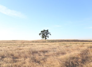
Explore The Solo Tree
3.0Disclaimer: This tree is on private property. If you choose to proceed, please check in with the property owner and proceed respectfully.The Solo Tree (often referred to as #thatrosevillesolotree on Instagram) has become a very popular photography spot in the Roseville area.Drive as far west as y...Read more -
Oroville, California
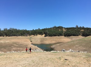
Feather River Trail Upper Section
3.23 mi / 89 ft gainFeather River Trail Upper Section is an out-and-back trail that takes you by a river located near Oroville, California.Read more -
Nevada City, California
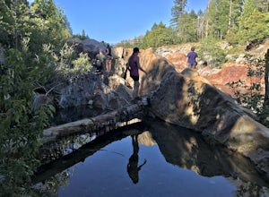
Emerald Pools
4.00.68 mi / 49 ft gainEmerald Pools is an out-and-back trail that takes you by a river located near Emigrant Gap, California.Read more -
Nevada City, California
Bowman Road and Meadow Lake Road to Henness Pass
3.035.45 mi / 4895 ft gainBowman Road and Meadow Lake Road to Henness Pass is a point-to-point trail that takes you by a lake located near Alta, California.Read more -
Nevada City, California
Backpack to Lower Rock Lake
3 mi / 713 ft gainThis adventure begins at the Lindsey Lake Campground parking lot (6,200 feet) where you leave your vehicle, takes you three miles up a trail rife with amazing photo opportunities and seasonal wildlife, and ends on the shore of Lower Rock Lake. Here you will find a dispersed camping site owned by ...Read more -
Placer County, California
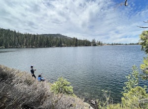
Paddle Lake Valley Reservoir
A perfect adventure spot off Highway 80, Lake Valley Reservoir offers paddlers prime parking and a paved boat launch to push off on a mountain lake with an island for picnicking. Lake speed is 10 mph so fishing boats with outboards are allowed but they have to take it slow. Post launch, head le...Read more -
Oroville, California
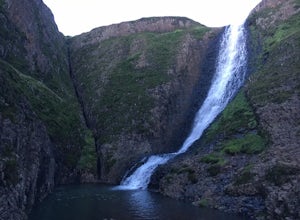
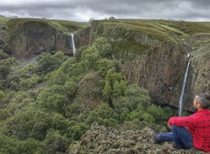
Hike to Hollow Falls
5.01 miThe first step of this fun little hike is to park at the handy parking lot located at 2488 Cherokee Rd., Oroville, CA up on Table Mountain. Many people park here for the hike to the more well-known Phantom Falls, which is a much longer hike than the one to Hollow Falls. From the lot, look for an ...Read more -
Oroville, California
Hike to Phantom Falls
4.64.2 mi / 850 ft gainDropping off a 135 ft cliff is a very well hidden waterfall with no trails leading to it. But if you do find it, it is an epic natural wonder.It is best to come here in the winter months, after a lot of rain. But it is also well worth coming in the spring when the wildflowers on Table Mountain ar...Read more -
Emigrant Gap, California
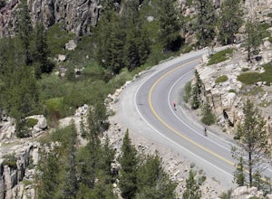
33mi Loop to Donner Lake
33 miWe love this 33-mile loop on old Highway 40 from Cisco Grove to Donner Lake and back. It has just about everything: a few flats, a long slow pull, rollers, a screaming downhill, a tough Alpine climb and a long, cruising downhill. Not to mention altitude. The ride starts at a little above 6,000 fe...Read more -
Emigrant Gap, California
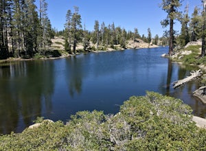
Loch Leven Viewpoint Trail
5.06.41 mi / 1522 ft gainLoch Leven Viewpoint Trail is an out-and-back trail to a viewpoint of the Loch Leven Lakes that is moderately difficult located near Truckee, California. This trail is just under 6.5 miles. If you're willing to add a little more than a mile to your adventure, you can head all the way to Upper Loc...Read more -
Loch Leven Lakes Trailhead, California
Loch Leven Lakes Trail
4.47.6 mi / 1480 ft gainThe trail is easy to follow for the first half mile until you get to some large slabs of granite. As you continue up the trail look for stacked rocks, these will give you a an easy route as you continue up the mountain. The trail then starts to switch back eventually leading to a small bridge. Af...Read more -
Gold River, California
Hike the American River Parkway: Fair Oaks Bridge to Hazel Ave.
5.04.7 mi / 249 ft gainThis area is possibly one of my favorite stretches of trail along the American River Parkway (for my route, click here. On this trail, you'll get great views of the American River, experience lush fern gullies, and depending on the seasons can see all sorts of wildlife, mostly birds along with t...Read more -
Sierra City, California
Sierra Buttes Lookout Trail
5.09 mi / 1365 ft gainSierra Buttes Lookout Trail is an out-and-back trail where you may see beautiful wildflowers located near Sierra City, California.Read more -
Carmichael, California
Hike through the Effie Yeaw Nature Preserve
4.34.48 mi / 161 ft gainDetailsEffie Yeaw Nature Preserve is named after Effie Yeaw, a teacher, conservationist and environmental educator who frequented the area on educational nature walks. She was one of the leading forces behind preserving the land now known as The American River Parkway.Effie Yeaw Nature Preserve...Read more

