Pismo Beach, California
For the best trails and outdoor activities, Pismo Beach, California is a must-visit. The city offers top outdoor adventures like the Pismo Preserve, a 900-acre area with over 11 miles of trail for hiking and mountain biking. Its scenic beauty includes panoramic views of the Pacific Ocean, oak woodlands, and wildlife sightings. For a more relaxed activity, stroll along the Pismo Beach Pier, perfect for fishing and bird watching. Close by is the Monarch Butterfly Grove, home to thousands of Monarch butterflies from late October through February. For the adventurous, the Oceano Dunes SVRA offers off-roading opportunities on the sand dunes. Whether it's hiking, biking, fishing, or off-roading, Pismo Beach has something for everyone.
Top Spots in and near Pismo Beach
-
Baywood-Los Osos, California
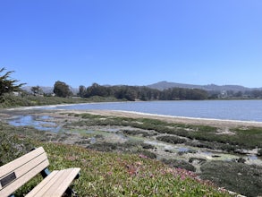
Baywood Park & Pier
5.0A quiet little beach front, with a raised boardwalk and beautiful views all around. A great place to walk the dog or take small children. Amazing sunsets and A+ for bird watching. Excellent spot to launch a kayak, canoe, or SUP. But watch the tides before you do. The water is usually glassy when ...Read more -
Morro Bay, California
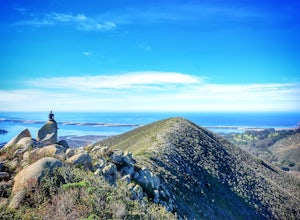
Quarry and Park Ridge Trail Loop
4.03.04 mi / 961 ft gainPark Ridge is a double peaked ridge, elevated at 911ft, which stands next to Cerro Cabrillo, one of the Nine Sisters. The stunning 360* degree views at the top of Morro bay, Los Osos and San Luis Obispo, make this hike worth exploring. There are two ways to access the top. Park Ridge Trail takes...Read more -
Morro Bay, California
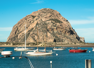
Photograph the Rock at Morro Bay
4.8Morro Bay is located west about 13 miles of San Luis Obispo. Typically Pismo Beach and San Luis are the go to spots when traveling to that area, but after spending the day there I would highly recommend giving it a visit! The first thing you'll see when pulling into downtown Morro Bay is the mas...Read more -
Orcutt, California
Hike or Trail Run the Rice Ranch Trail
4.03.2 mi / 400 ft gainHike, mountain bike, or trail run the Rice Ranch Trail in Orcutt, CA. This park is relatively small, but a great place for a hike or run. I did a 3 mile loop and could easily have added on a couple more miles. Hike up to water towers at the top and enjoy views overlooking Santa Maria Valley and o...Read more -
Cayucos, California
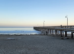
Cayucos Pier Trail
5.00.35 mi / 30 ft gainCayucos Pier Trail is an out-and-back trail where you may see beautiful wildflowers located near Cayucos, California.Read more -
Santa Maria, California
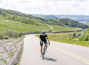
Cycle the Palmer and Cat Canyon Roads in Santa Maria Valley
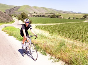
30 miYou can't go wrong with cycling around the Santa Maria Valley area. There is an abundance of interesting roads to ride along with scenic hills meandering through wineries. I started my ride at the Los Flores Ranch Park parking lot and headed east along Dominion. Take a right on Palmer and follow...Read more -
Santa Maria, California
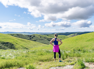
Trail Run, Hike, or Mountain Bike Los Flores Ranch Park
5 mi / 700 ft gainI'm a sucker for a good ridgeline trail, and Los Flores Ranch Park has lots of them. For a solid 5ish mile loop with about 600 ft of elevation gain, take the Manzanita Trail to the Ridge Top Trail for sweeping views of the valley, vineyards, and out to the ocean on a clear day. The Solomon Trail ...Read more -
Paso Robles, California
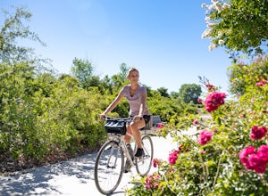
Bike the Salinas River Trail
2 mi / 200 ft gainThe Salinas River Walk in Paso Robles is one of the first sections of a planned 30 mile river trail extending from Santa Margarita in the south to San Miguel. The trail can be accessed at several places, primarily at the south end at Lawrence Moore Park at the end of Riverbank Lane where there i...Read more -
Santa Maria, California
Bike Foxen Canyon Road
29 mi / 2400 ft gainFoxen Canyon Road from Santa Maria to Los Olivos runs through some of the most beautiful wine country in Santa Barbara county so much so that it was centerpiece of the film Sideways. The road itself begins at the intersection of Betteravia and Philbric roads just east of Santa Maria and proceeds ...Read more -
Paso Robles, California
Bike Peachy Canyon
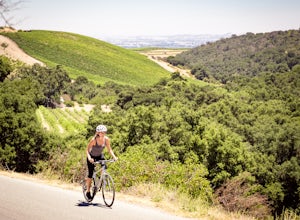
10.5 mi / 2200 ft gainPeach Canyon is the *the* iconic cycling road in the Paso Robles area, beginning downtown and connecting with many other roads in the mountains west of town making for numerous beautiful loops through vineyards, orchards, and black oak groves. Peachy Canyon Road begins at Olive and 6th Street and...Read more -
Cambria, California
Camp at San Simeon State Park
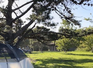
4.0San Simeon has two campgrounds to choose from – San Simeon Creek Campground has 115 campsites for tent or RV camping. Sites have fire rings and picnic tables, and nearby there is firewood for sale. Your other choice is the primitive Washburn Campground, located 1 mile inland. From this plateau, y...Read more -
Santa Margarita, California
Photograph Wildflowers at Carrizo Plain National Monument
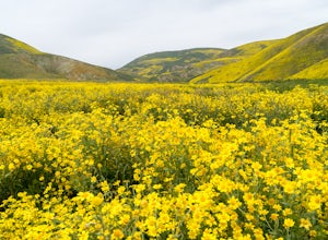
5.0Driving in from Hwy 58 East, you will be passing through a grapevine, and through some hills. Once you hit the Seven Mile Road, you will start to see fields of yellow flowers all around you - this is where the adventure starts. Just continue to drive along the road until you find a great spot to ...Read more -
Lompoc, California
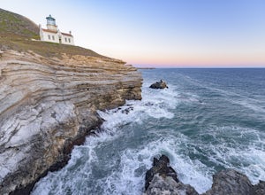
Beach Hike to Point Conception Lighthouse
4.09.3 mi / 171 ft gainIt must be approaching low tide to complete this hike! This hike begins at the Jalama Beach Campground. Head out on the beach a couple of hours before low tide and follow it until you reach the lighthouse. It is important to note that the land above the high-tide line, the top of the cliffs, and...Read more -
Lompoc, California
Camp and Surf Jalama Beach
4.3Take the 101 North out of LA and follow it till it meets back up with the 1 just south of Lompoc where you make a left turn onto Jalama Rd. If you forgot supplies, continue to Lompoc where you can buy whatever you need.Follow the winding road all the way to the beach, where your only option is th...Read more -
Paso Robles, California
Kayak Lake Nacimiento
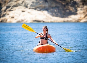
Lake Nacimiento near Paso Robles, CA is a gorgeous reservoir used for kayaking, paddle boarding, and all manner of water sports. To get there, from Highway 101 take the 24th street exit in Paso Robles west till it turns into Lake Nacimiento Drive. Lake Nacimiento Drive will eventually turn into G...Read more -
Paso Robles, California
Hike the Shoreline Trail
1.05.5 mi / 1100 ft gainThe Shoreline Trail on Lake Nacimiento near Paso Robles, CA is a 5.6 mile trail used for hiking and trail running and located near Lake Nacimiento Resort. To get there, from Highway 101 take the 24th street exit in Paso Robles west till it turns into Lake Nacimiento Drive. Lake Nacimiento Drive w...Read more

