Red Bluff, California
Looking for the best hiking in Red Bluff? We've got you covered with the top trails, trips, hiking, backpacking, camping and more around Red Bluff. The detailed guides, photos, and reviews are all submitted by the Outbound community.
Top Hiking Spots in and near Red Bluff
-
Shasta County, California
Camp out at Manzanita Lake Cabins in Lassen Volcanic NP
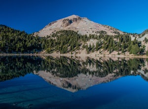
Deep in the Lassen National Forest is the beautiful and surprisingly one of the least visited National Parks, Lassen Volcanic National Park. On the north entrance of the park, you will find the beautiful Manzanita Lake Cabins and Campground with the gorgeous blue lake in the foreground. Getting ...Read more -
Shingletown, California
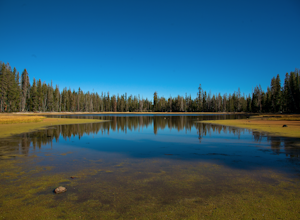
Manzanita Lake Loop
4.01.88 mi / 121 ft gainManzanita Lake Loop Trail is a loop trail that takes you by a lake located near Old Station, California.Read more -
Shasta County, California
Lassen Peak
4.44.66 mi / 1936 ft gainOne of my personal favorites and a hidden gem of California that keeps circling my mind is the Lassen Peak Trail. Don't let the trail map (2.5 miles one way) deceive you and make you think this is a short trail. The elevation gain is is 2000 feet from the parking lot to the end of the peak. The a...Read more -
Shasta County, California
Summit Mt. Lassen via the Northeast Face
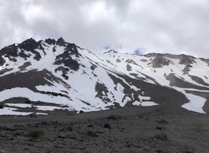
5.08 mi / 4000 ft gainThis route is perfect for those with some mountaineering skill looking to challenge themselves on either a long day climb (10-12 hours) of one of California’s most iconic peaks. 1: The approach (1500 feet of elevation gain) For the best chance of summiting, start very early, around 2-4 am. Most ...Read more -
Old Station, California
Bumpas Hell to Cold Boiling Lake
4.05.32 mi / 1007 ft gainBumpas Hell to Cold Boiling Lake Trail is an out-and-back trail that takes you by a lake located near Old Station, California.Read more -
Shasta County, California
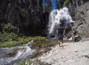
Kings Creek Falls Trail
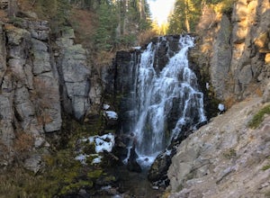
4.02.49 mi / 495 ft gainKings Creek Falls Trail is an out-and-back trail that takes you by a waterfall located near Old Station, California.Read more -
Shasta County, California
Magee Peak & Crater Peak
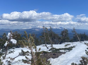
7.19 mi / 2887 ft gainThe trail to Magee Peak and Crater Peak makes for a fairly strenuous hike (mostly due to altitude). This USFS out-and-back trail has incredible views of the major peaks in the Northern California & Southern Oregon. Take in a spectacular close-up of Lassen NP and great views of Shasta, Castl...Read more -
Shasta County, California
Devastated Area Interpretive Trail
2.00.5 mi / 16 ft gainDevastated Area Interpretive Trail is a loop trail that is good for all skill levels located near Old Station, California.Read more -
Round Mountain, California
Potem Falls
5.00.58 mi / 151 ft gainPark in the pull-out on Fenders Ferry Road. There you will find the Potem Falls trailhead. The hike is only 0.6 miles long--you'll likely spend more time enjoying the falls than getting there! Bring your swim gear if you want to jump in the pool. The trail is dog-friendly and open March-October.Read more -
Plumas County, California
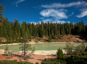
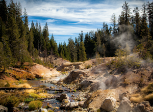
Boiling Springs Lake Loop
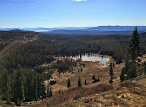
2.38 mi / 449 ft gainThe hike to Boiling Springs Lake starts at the Warner Valley Trailhead and is only a 3 mile roundtrip hike. It's a fairly easy hike that starts through the valley and then winds up through the forest and eventually opens up to the lake. First thing you'll notice as you approach the lake is the ...Read more -
Plumas County, California
Drake Lake Trail
4.6 mi / 840 ft gainThe hike starts at the Warner Valley Trailhead and winds up the mountain until you reach the lake. The first 2 miles or so are very pleasant walk through the woods until you reach the last portion which is essentially straight up the mountain side. This portion of the trail can be very slippery...Read more -
Shasta County, California
Seven Lake Loop in Lassen Volcanic NP
11.54 mi / 1545 ft gainThis hike is one of my favorites for when I only have a weekend to get my nature fix. To start off, visit either the Loomis Museum, Loomis Ranger Station, Butte Lake Ranger Station, Kohm Yah-mah-nee Visitor Center, Warner Valley Ranger Station, or Juniper Lake Ranger Station and pick up a wildern...Read more -
Pacific Crest Trail, California
Devils Kitchen Trail
5.05.06 mi / 525 ft gainYour hike to Devils Kitchen will start from Warner Valley Campground. The hike starts out thorough the valley and eventually winds through the forest and ends at the top of the Devils Kitchen site. You'll then hike down the hill a bit and get to explore the area! There are pretty specific walkin...Read more -
Pacific Crest Trail, California
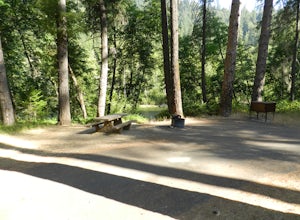
Camp at Warner Valley
Warner Valley Campground is at the end of Warner Valley Road. It's 16 dollars a night at a first come first serve basis. As far as the campground it self, there are a few bathrooms and each site has a fire ring and a picnic table. There are 17 sites which isn't a ton but since it's a fairly unuse...Read more -
Douglas City, California
Camp at Steel Bridge Campground
Steel Bridge is located along the Trinity River. About three miles east of Douglas City on State Highway 299, turn north onto Steel Bridge Road and go about 2 miles to the campground.This campground is open from Mid-May until winter weather forces closure. The campground is home to 12 camping s...Read more -
Douglas City, California
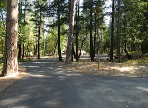
Camp at Douglas City Campground
The campground amenities include 20 tent/trailer campsites, group picnic area, picnic tables, telephone, beach, paved loop road, flush and vault toilets, potable water, and fire rings. MAX trailer length is 28 feet.Douglas City is located along the Trinity River. Follow State Highway 299 to Dougl...Read more

