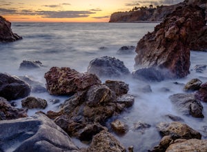
Santa Clarita, California
The best Trails and Outdoor Activities in Santa Clarita, California, offer a diverse range of scenic outdoor adventures. The Placerita Canyon Nature Center, a must-visit, has trails that wind through oak woodland and chaparral, leading to a striking waterfall and the unique "Oak of the Golden Dream." For a more challenging hike, the 5-mile Towsley Canyon Loop offers panoramic views of the Santa Clarita Valley and fascinating rock formations. For those interested in bird-watching and fishing, Castaic Lake is a top choice. The Santa Clara River and the Pacific Crest Trail also provide opportunities for hiking, horseback riding, and mountain biking. Santa Clarita indeed offers some of the best outdoor activities and attractions for everyone.
Top Spots in and near Santa Clarita
-
Maricopa, California
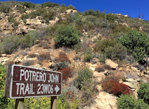
Potrero John Trail
5.03.51 mi / 627 ft gainThe Potrero John Trail is only 1.75 miles one-way, and is mostly used for hiking. It is right off Highway 33- driving north on the 33, the trailhead is on the right side of the street, right after the Potrero John Bridge (parking is fairly limited so the earlier you get there the better). There ...Read more -
Ventura, California
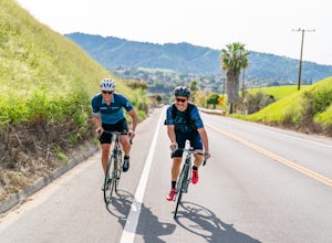
Cycle Santa Ana Road
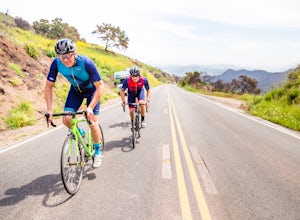
6.5 mi / 500 ft gainThe Santa Ana to Lake Casitas via Foster Park segment of Santa Ana Road is a gorgeous, 6.5 mile road that cuts through the heart of Ventura Canyon. Santa Ana Road eventually ends at Casitas Road and the Lake Casitas Recreation Area. From there you can go west over over the pass and down to the Ri...Read more -
Ventura, California
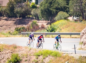
Bike the Ventura, Santa Paula, and Ojai Loop
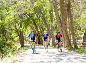
48.8 mi / 2081 ft gainThe Ventura - Ojai - Santa Paul loop is a classic half-century loop throughs some of the most beautiful cycling roads on the Central Coast. Beginning in Ventura and heading on the off-road (but paved) Ventura / Ojai trails, this loop then heads into downtown Ojai before following Ojai Valley Road...Read more -
Ventura, California
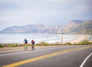
Bike the Rincon Trail
5.028.4 mi / 720 ft gainThe Rincon Trail between Ventura and Santa Barbara is part of the wonderful Pacific Coast Bike Route, and features two-wave paved cycling lanes with beautiful views up and down the central coast. There are numerous places to stop along the way for food and relaxing, including the great seaside to...Read more -
Ventura, California
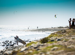
Surf Ventura Point
4.0Surfer’s Point, off Figueroa Street, includes one of California’s premier surfing and windsurfing spots. A landscaped promenade and the Omer Rains Bike Trail connect this sandy beach to the Ventura Pier. Promenade Park, next to the beach commemorates the site of an ancient Chumash village. Beach ...Read more -
Ventura, California
Bike the Lake Casitas Loop
1.048.9 mi / 3635 ft gainThe Lake Casitas Loop s a fantastic cycling trail leading from Ventura, California through Ventura Canyon, around Lake Casitas and up over Casitas Pass, down through Rincon Canyon to the ocean and south on Rincon Trail back to Ventura. It covers almost all of the ecological zones and topographica...Read more -
Ventura, California
Bike the Ventura River and Ojai Bike Trails
32.6 mi / 1030 ft gainThe Ventura River and Ojai Valley Trail, effectively the same trail, is a gorgeous 32 mile trail that runs from Seaside Park in Ventura to downtown Ojai. It runs along and across the Ventura River and through the Ventura Canyon, with views up and down numerous side canyons and ravines. The trail ...Read more -
Ventura, California
Kiteboard Surfer's Point
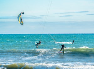
Surfer's Point aka Ventura Point is a well-known kite boarding/surfing (and surfing) spot due to its (when conditions are right) great wave quality, favorable wind direction (sideshore with occasional side-off), friendly locals, rider capacity, and a nearby point break with. When conditions are e...Read more -
Frazier Park, California
Hike to Conder Observatory (Mt. Piños) from the Nordic Ski Hut
3.32 mi / 457 ft gainAny drive up the I-405N or I-5N is going to result in some pain: Either you leave early enough to avoid traffic, or you are sitting in some slowness for a while. But once you turn onto Frazier Mountain Road from the interstate, you are in a completely different world. It could be 85° in Los Angel...Read more -
Rancho Palos Verdes, California
Burma Road Trail & Ishibashi Trail Loop
4.35.09 mi / 1148 ft gainGetting There: The easiest way to get to Portuguese Bend Nature Reserve is by following Crenshaw Boulevard up Rancho Palos Verdes to the very end of the street. You can park on either side of the street near Del Cerro Park, which also happens to be a great place for picnics if you want to eat bef...Read more -
Azusa, California
Summit Mt. Baden-Powell
5.07.86 mi / 2808 ft gainThis well maintained and well traveled trail is a popular route with day hikers, backpackers, and Pacific Crest Trail through hikers. Since the trail is on the face of the mountain, snow may linger late into the season. The Pacific Crest Trail is clearly marked on the western corner of the Vinc...Read more -
Azusa, California
Bighorn Mine Trail
5.03.69 mi / 607 ft gainIf you decide to head over to Wrightwood for some skiing during the winter, make sure to get a hike in while you’re at it. There are several trail systems along the Angeles Crest Highway (Hwy 2), and one of them is scenic Big Horn Mine Trail. The end point of the hike is the historic and abandone...Read more -
La Verne, California
Cattle Canyon Trail
6.7 mi / 1066 ft gainWithin the San Gabriel Mountains from Highway 39 and along East Fork Road is Cattle Canyon. To go through Cattle Canyon, you can access the trail head just south of the Bridge to Nowhere trail head along East Fork Road right after it intersects with Glendora Mountain Road. There is a small parkin...Read more -
Rancho Palos Verdes, California
Pelican Cove
0.38 mi / 95 ft gainGetting There Coming from San Pedro, make a U-turn at the Hawthorne Boulevard stoplight onto Palos Verdes Drive South. From here, you can access the parking lot for Pelican Cove, where you'll get a 120° view of the ocean. It might be tempting to take in the sunset from the car, but you should def...Read more -
La Verne, California
Bridge to Nowhere via East Fork Trail
4.49.65 mi / 1798 ft gainThe trail on this 10-mile hike is predominately slow and steady, but can be a little rocky, so be prepared to scramble. When you’re fording the river, the water level can range from knee to chest high, especially in the wet months. A good pair of waterproof hiking boots is helpful, but water shoe...Read more -
Rancho Palos Verdes, California
Terranea Beach Sea Cave
4.31.63 mi / 210 ft gainHead to the Pelican Cove parking lot where there’s plenty of free parking right at the trailhead. From the parking lot, take the Terranea Beach Trail and you will see views of the Point Vicente Lighthouse down the coast to your right. Continue on the trail through the luxury Terranea Resort whic...Read more

