Shasta, California
Looking for the best running in Shasta? We've got you covered with the top trails, trips, hiking, backpacking, camping and more around Shasta. The detailed guides, photos, and reviews are all submitted by the Outbound community.
Top Running Spots in and near Shasta
-
Shasta County, California
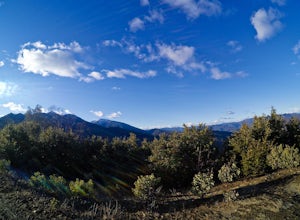
Hike Kanaka Peak
4.53.5 mi / 1100 ft gainHead to the Peltier Bridge Campground after entering Whiskeytown National Recreation Area and then go 1.1 miles along the road through the campground until you reach the trailhead for Kanaka Peak. The road from the campground is open from late spring to late fall, otherwise hikers will need to pa...Read more -
Redding, California
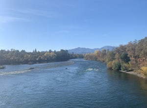
Arboretum Loop Trail
3.52.07 mi / 43 ft gainArboretum Loop Trail is a loop trail that takes you by a river located near Redding, California.Read more -
Trinity Center, California
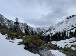
Backpack Stuart Fork to Emerald and Sapphire Lake
25 mi / 4448 ft gainThe Stuart Fork to Emerald and Sapphire Lakes trail features many beautiful lakes, meadows, and an area that resembles a jungle. Dogs are able to use this trail. This trail can be done as a day hike, an overnight, or a three-day backpacking trip. If you choose to make it a three day, the meadows ...Read more -
Trinity Center, California
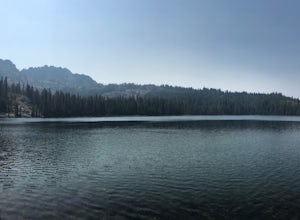
Stoddard Lake
5.07.01 mi / 1325 ft gainThe trail is a bit rocky, so wear sturdy hiking boots or trail runners. While your elevation gain is only 800 total, you will travel upwards of 1,982ft in elevation given the ups and downs of the trail. At mile 1.75, there is a spring that feeds into a large meadow. At mile 3, there is another sp...Read more -
Dunsmuir, California
Heart Lake Trail From Castle Lake
5.02.46 mi / 719 ft gainHeart Lake Trail From Castle Lake is an out-and-back trail where you may see beautiful wildflowers located near Dunsmuir, California.Read more -
Shasta County, California
Magee Peak & Crater Peak
7.19 mi / 2887 ft gainThe trail to Magee Peak and Crater Peak makes for a fairly strenuous hike (mostly due to altitude). This USFS out-and-back trail has incredible views of the major peaks in the Northern California & Southern Oregon. Take in a spectacular close-up of Lassen NP and great views of Shasta, Castl...Read more -
Shingletown, California
Hike the Chaos Crags Trail
3.8 mi / 915 ft gainManzanita Lake campground is located about 1/2 mile past the Northwest entrance of Lassen Volcanic National Park. The trailhead is located just before the campground sites about 0.1 mile off of the main road and marked with a sign (including a map) and a few parking spaces. The trail starts o...Read more -
Shingletown, California
Manzanita Lake Loop
4.01.88 mi / 121 ft gainManzanita Lake Loop Trail is a loop trail that takes you by a lake located near Old Station, California.Read more

