Shaver Lake, California
Looking for the best photography in Shaver Lake? We've got you covered with the top trails, trips, hiking, backpacking, camping and more around Shaver Lake. The detailed guides, photos, and reviews are all submitted by the Outbound community.
Top Photography Spots in and near Shaver Lake
-
Sequoia National Park, California
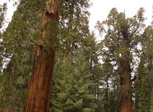
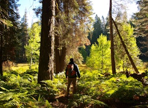
Hike through the Giant Forest in Sequoia NP
5.02 mi / 154 ft gainTake a drive to Sequoia National Park and take in the beautiful views of the second oldest national park. If you go in the winter or early spring time, be sure to check the weather beforehand and be prepared for the cold.If you are an avid traveler to national parks, I'd recommend that 2 weeks b...Read more -
Mono County, California
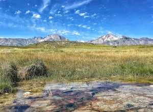
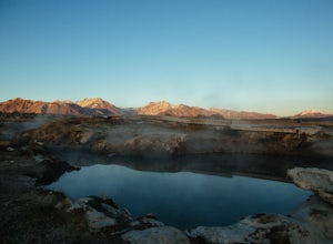
Crab Cooker Hot Springs
Getting There: Take Highway 395 heading toward Benton Crossing Road. Turn onto Benton Crossing and you’ll see an adorable wee green church. Continue two miles down the road. You’ll make a left turn and head down a dirt road. Cell service is scant in this area, so you'll probably want to...Read more -
Mono County, California
Gem Lake via Rush Creek
5.06.91 mi / 2313 ft gainThis hike starts next to Silver Lake in the June Lake Loop, located just north of Mammoth Lakes, CA off HWY 395. There is a parking lot near the RV park as well as street parking across the road from the trailhead. Once you head out on the hike, you'll start gaining elevation as you hike up tow...Read more -
Mariposa County, California
Hike Old Big Oak Flat Road
4.1 mi / 1070 ft gainOld Big Oak Flat Road used to be one of the main entries into Yosemite Valley, before HWY 120, 140 and 41. It was a dangerous road which had to be realigned, reconstructed and maintained continuously and was eventually closed in the 1940’s after a giant rockslide made it completely irreparable. T...Read more -
Mono County, California
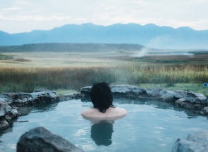
Shepherd Hot Springs
4.0Located a short distance from US 395 near Mammoth/Yosemite Airport, Shepherd Hot Spring provides a great opportunity to relax while taking in spectacular views of the Eastern Sierras and surrounding area. After a hard day on the slopes or long day on the trail this hot spring provides a comforta...Read more -
Mono County, California
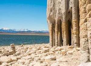
Explore Crowley Lake Columns
4.0Starting from Mammoth Lakes you head South on Highway 395 until you get to Benton Crossing Rd. (Green Church on the corner) and make a left.From Bishop you head North for about 30-40 miles until you hit Benton Crossing Rd. and make a right.From here, continue West and bending South for close to 2...Read more -
June Lake, California
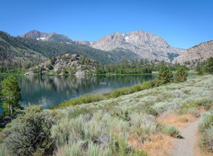
Gull Lake Loop
1.97 mi / 174 ft gainGull Lake trail is one of my favorite hiking spots in the June Lake Loop area. It is a very scenic trail that goes through varying terrains from meadows to marshes to aspen and conifer groves. Trailhead starts at the Mono County Community Center and winds counter-clockwise around the lake to th...Read more -
June Lake, California
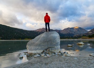
Explore June Lake
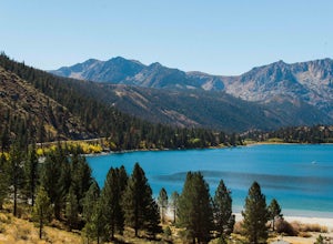
4.7June Lake is a hidden gem in the Eastern Sierra, just north of Mammoth Lakes. June Lake is a quaint little lake with spectacular views. The neighboring town of the same name also boasts a brewery with tasty brews. For a truly unforgettable sunset, grab some brews and walk over to June Lake for th...Read more -
Wild Willy's Hot Spring, United States
Wild Willy's Hot Spring
5.0Also known as "Crowley Hot Springs", Wild Willey's is located a short drive from Mammoth Lakes. For more information on the hot springs and the public land restoration, check out the BLM's Website. From Mammoth Lakes, head south on the 395 for 3.5 miles until you make a left at Benton Crossing Rd...Read more -
Sequoia National Park, California
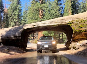
Drive through Tunnel Log
Tunnel log is a massive fallen sequoia across the middle of the road, which is a great photo opportunity for visitors of the national park. The mammoth tree fell over in 1937, but a year later, a car tunnel was carved in the middle of its trunk so vehicles could still pass through. Although the...Read more -
Bishop, California
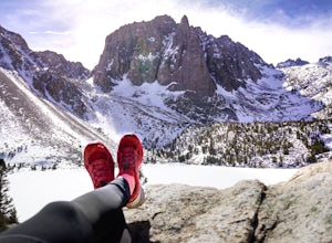
First and Second Lake via Big Pine Creek North Fork
5.09.57 mi / 2392 ft gainThe North Fork of Big Pine Creek is often cited as having the most unbelievable scenery reachable in a single day. And it's hard to disagree. The Big Pine Creek North Fork trail is just minutes outside of Big Pine off the 395. If going in the winter, access to the trailhead can be closed off, so...Read more -
Sequoia National Park, California
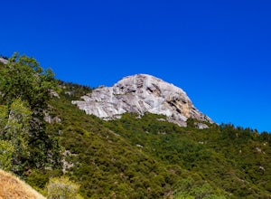
Hike Moro Rock
5.0Moro Rock is a granite dome with a staircase leading to the 6,725 foot summit, where you can enjoy a spectacular view of the Great Western Divide. From Generals Hwy, you can drive up Crescent Meadow Road to the parking lot at the base of Moro Rock (summer weekends the road is closed for shuttles ...Read more -
Sequoia National Park, California
Backpack the High Sierra Trail
5.071 miThe High Sierra Trail begins at Crescent Meadow in Sequoia National Park, on the West side of the Sierra Nevada range, and ends at Whitney Portal on the East, traversing the highest and most beautiful part of the Sierras. From deep river canyons to high alpine peaks, lakes, and meadows, this hike...Read more -
Sequoia National Park, California
Hike Crescent Meadow
4.51.6 miCrescent Meadow is a collection of loops in the Giant Forest in Sequoia National Park. The trailhead is located just past the tunnel log east of General's Highway 198. The main loop is 1.6mi total. However you can take any of the loops to the General Sherman tree 3mi, Tharp's Log trail 0.5mi, or ...Read more -
Mariposa County, California
Olmsted Point
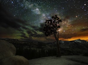
5.00.4 miJust off the side of the highway, look for the pullout for Olmsted Point on your Map. There is a parking area with about 25 parking spots and the lookout point with the tree is right next to there. Come in the summertime and during a new moon to get the best views of the Milky Way. Never crowded,...Read more -
Bishop, California
Camp at Oh Ridge Campground on June Lake
5.0Nestled along the shores of picturesque June Lake, is the Oh Ridge campground. Oh Ridge has access to the beach of June Lake via Pine Cliff Road, and the town of June lake as well as Gull Lake, Silver Lake, and Grant Lake are all within a short driving distance along the June Lake Loop. Mammoth ...Read more

