Soledad, California
Looking for the best photography in Soledad? We've got you covered with the top trails, trips, hiking, backpacking, camping and more around Soledad. The detailed guides, photos, and reviews are all submitted by the Outbound community.
Top Photography Spots in and near Soledad
-
Soledad, California
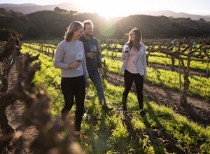
Explore Dreamy Wrath Wines Vineyards
Just a short drive from some of the best trails and rock climbing at Pinnacles National Park, Wrath Wines' Soledad winery is a great way to wine'd down after a day of adventure. What makes this grape growing region unique is the constant marine layer fog and wind stress out the grapes (that’s a ...Read more -
Paicines, California
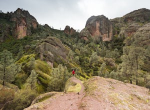
Hike the Juniper Canyon, High Peaks, Tunnel Trail Loop in Pinnacles NP
5.04.3 mi / 1200 ft gainPinnacles National Park is located just over two hours outside of San Francisco (depending on the traffic). It was designated the 59th national park in 2013 and while it is small it offers beautiful views and unique wildlife viewing. Keep an eye out for California condors on this hike! This trail...Read more -
Paicines, California
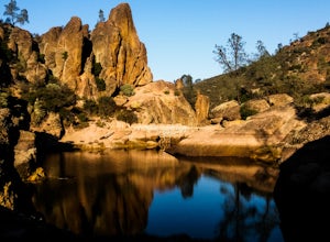
Hike to Bear Gulch Reservoir in Pinnacles National Park
3.51.5 mi / 275 ft gainStart the hike from the Bear Gulch Trail Parking lot. While pulling in, the trail head is on the left. The Trail is marked Reservoir, Caves, and High Peaks. Continue down the trail until faced with a junction. Make sure to admire rock formations while hiking!At the junction take the Bear Gulc...Read more -
San Benito County, California
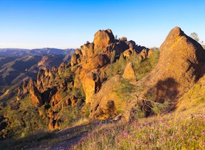
Explore Pinnacles National Park
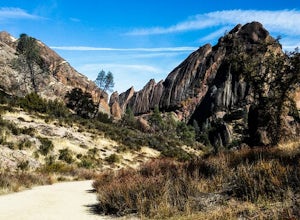
4.6It’s hard to believe how many people don’t know about this place, which was newly designated as a National Park in January 2013. Pinnacles National Park is hidden just south of San Jose in the Gabilan Mountains, and is a short drive for anyone living in the Bay Area.With beautiful rock spires pie...Read more -
Paicines, California
Hike the Old Pinnacle Trail in Pinnacles National Park
5.09 mi / 2000 ft gainStart at the Old Pinnacles Trailhead and embark on a roughly 9 mile long adventure surrounded by amazing geological rock formations and natural landscapes. Bask in the peace of nature... meander through meadows alongside the West Fork of Chalone Creek and into Old Pinnacles. Continuing on at the ...Read more -
Salinas, California
Hike or Trail Run around Toro Park
Just a short drive from downtown Monterey you will find yourself amongst the rugged yet serene hills ofToro Park. For a $2 admission fee you will have access to 20+ miles of trails that climb through canyons and run along ridgelines to peaks with views of the ocean in the distance. While the map ...Read more -
Big Sur, California
Hike the Ewoldsen Trail
4.54.2 mi / 1500 ft gainThe Ewoldsen Trail is one of the more accessible yet challenging hikes in Big Sur. It is a beautiful ~4-mile loop through the redwood forest that starts in the Julia Pfeiffer state park parking lot, which is across the street from McCay falls. During the first part of the hike, you'll pass picnic...Read more -
Big Sur, California
Hike the Waters Ridge Trail
5.07 mi / 2100 ft gainAccess the Waters Ridge Trail from the Ewoldsen Trail, located in Julia Pfeiffer Burns State Park. Although steep, this path is fairly short, and rewards you with spectacular views at the top. About halfway around the Ewoldsen Trail Loop, you'll come across a turnoff on the right, with a sign dem...Read more -
Big Sur, California
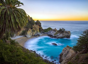
McWay Falls
4.6McWay Falls is one of the most iconic waterfalls in BIg Sur and can be seen from Highway 1. The trail to the falls is located in Julia Pfeiffer. For all of you history buffs, Mcway Falls is named after Christopher McWay, an early settler and farmer from New York who ventured west in the late 1800...Read more -
Big Sur, California
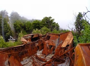
Hike to Big Sur's Tin House
4.0When it comes to the beauty of Big Sur, a half day on Tanbark Trail to the Tin House captures it all. From the redwood forest along Partinton Creek, to the abandoned Tin House, to Highway 1 and coastal views, you can't ask for much more.The hike starts on the east side of Highway 1 - the northern...Read more -
Big Sur, California
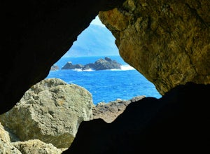
Explore The Hidden Rock Caves At Partington Cove
5.0Partington Cove which is located in Julia Pfeiffer Burns State Park, is one of Big Sur's hidden gems. It's a very short hike with enough views to show why Big Sur earned the nickname " Little Yosemite." The whole hike can easily be completed in less than an hour, although there are definitely eno...Read more -
Carmel-by-the-Sea, California
Pat Springs via Skinners Ridge
3.513.18 mi / 3645 ft gainBackpacking to Pat Springs is a way to see Big Sur and the San Lucia mountains from a perspective that few get to experience. The Ventana Wilderness is rugged and remote, yet Pat Springs is one of the most beautiful campgrounds around that will allow you to take in this amazing terrain. To get ...Read more -
Big Sur, California
Explore the Big Sur River Gorge
4.71 miIf you are in the Big Sur area during the summer, exploring the Big Sur River Gorge is a must! The gorge is located in Pfeiffer Big Sur State Park, and your closest parking will be day use parking lot 3. The trailhead to the gorge can be found at the northeast end of Pfeiffer Big Sur State Park C...Read more -
Big Sur, California
Camp at Pfeiffer Big Sur State Park
5.0The campground at Pfeiffer Big Sur State Park offers a spectacular variety of natural settings to enjoy. Each of the 189 tent and RV sites is located within the redwood groves, oak woodlands, grassy meadows and they even have riverside camping.Each site has a picnic table, fire ring, access to dr...Read more -
Big Sur, California
Hike to Pfeiffer Falls
4.02 miThis trail is a staff favorite at Big Sur. This family-friendly waterfall trail provides only a moderate challenge for young children and older family members. There are two starting points for this hike depending on where you stashed the car. If you’re parked near the gift shop, the head up the ...Read more -
Big Sur, California
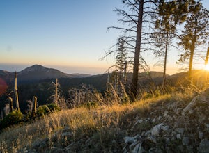
Pine Ridge, North Coast Ridge Loop
2.033.45 mi / 11388 ft gainIf you are looking to do some backpacking in the Big Sur area, you've come to the right place. This post shares a suggested 4-day backpacking loop in the Ventana Wilderness that will offer a bit of everything - challenging hiking with a healthy does of elevation, beautiful primitive camping amon...Read more

