South Lake Tahoe, California
Looking for the best hiking in South Lake Tahoe? We've got you covered with the top trails, trips, hiking, backpacking, camping and more around South Lake Tahoe. The detailed guides, photos, and reviews are all submitted by the Outbound community.
Top Hiking Spots in and near South Lake Tahoe
-
Reno, Nevada
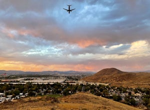
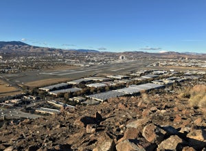
Huffaker Park Lookout Trail
4.01.88 mi / 308 ft gainHuffaker Park Lookout Trail is a loop trail where you may see beautiful wildflowers located near Reno, Nevada.Read more -
Arnold, California
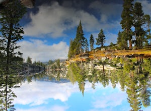
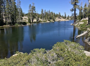
Backpacking to Sword Lake
5.0Getting There Take 108 to Pinecrest Lake to pick up a free backcountry permit at the Summit Ranger Station. (If you reach Strawberry you've gone too far.) Continue past Beardsley Lake to Clark's Fork Road on the left. Cross two bridges and Forest Route 6N06 will take you to the trailhead (County ...Read more -
Reno, Nevada
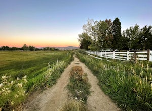
Anderson Park Loop
4.01.64 mi / 92 ft gainAnderson Park Loop is a popular trail for walking or running tucked away in a quiet neighborhood near Reno, Nevada. The trail loops around a pasture and connects up to Bartley Ranch for a longer or more scenic route. Take in scenic views of the surrounding mountains, but there may be some traf...Read more -
Reno, Nevada
Quail Run and Flume Trail Loop
4.01.45 mi / 128 ft gainQuail Run and Flume Trail Loop is a loop trail that takes you past scenic surroundings located near Reno, Nevada.Read more -
Emigrant Gap, California
Loch Leven Viewpoint Trail
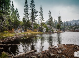
5.06.41 mi / 1522 ft gainLoch Leven Viewpoint Trail is an out-and-back trail to a viewpoint of the Loch Leven Lakes that is moderately difficult located near Truckee, California. This trail is just under 6.5 miles. If you're willing to add a little more than a mile to your adventure, you can head all the way to Upper Loc...Read more -
Loch Leven Lakes Trailhead, California
Loch Leven Lakes Trail
4.47.6 mi / 1480 ft gainThe trail is easy to follow for the first half mile until you get to some large slabs of granite. As you continue up the trail look for stacked rocks, these will give you a an easy route as you continue up the mountain. The trail then starts to switch back eventually leading to a small bridge. Af...Read more -
Reno, Nevada
Rattle Snake Mountain
4.01.49 mi / 371 ft gainRattle Snake Mountain is an out-and-back trail that takes you past scenic surroundings located near Reno, Nevada.Read more -
Reno, Nevada
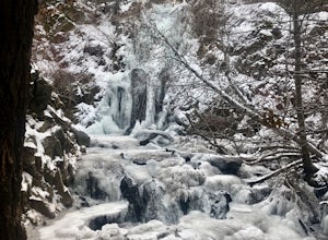
Hunter Creek Trail
3.06.43 mi / 1362 ft gainJust outside of Reno find a fun little hike through the hills along a creek, ending at a beautiful waterfall. The trail is heavily trafficked and easy to follow with two creek crossings. It is mostly a moderate but steady climb on the way out, with just a few steep spots. The parking lot has ...Read more -
Reno, Nevada
West Plateau Loop
3.03.15 mi / 312 ft gainWest Plateau Loop is a loop trail that takes you by a river located near Reno, Nevada.Read more -
Reno, Nevada
Hidden Valley County Park Loop
4.04.23 mi / 1207 ft gainThis is the hidden sight of Hidden Valley. Head south down Hidden Valley Drive from Mira Loma and turn right on Mia Vista Drive until you get to the parking lot for Hidden Valley Regional Park. Watch out for wild horses on all roads leading in and throughout your hike. There are hundreds of trail...Read more -
Reno, Nevada
Highland Loop Trail
2.37 mi / 453 ft gainHidden Valley Park is a large, 480-acre regional park in southeast Reno, of which 65 acres are developed that features an extensive trail network along with equestrian grounds, a dog park, playground, and numerous other features. The Highland Loop Trail is a great way to experience the park and ...Read more -
Reno, Nevada
Oxbow Nature Study Area Nature Trail
4.00.77 mi / 23 ft gainOxbow Nature Study Area Nature Trail is a loop trail that takes you by a river located near Reno, Nevada.Read more -
Reno, Nevada
Upper Chalk Creek Trail
4.01.44 mi / 121 ft gainUpper Chalk Creek Trail is an out-and-back trail located near Reno, Nevada.Read more -
Reno, Nevada
Peavine Peak Trail
3.08.89 mi / 2913 ft gainPeavine Peak Trail is a loop trail where you may see beautiful wildflowers located near Reno, Nevada.Read more -
Reno, Nevada
May Arboretum and Herman Pond Trail
5.01.07 mi / 89 ft gainMay Arboretum and Herman Pond Trail is a loop trail where you may see beautiful wildflowers located near Reno, Nevada.Read more -
Pinecrest, California
Camp at Baker Campground
5.0/ 6224 ft gainBaker Campground is a first come, first serve campground. Each site is equipped with a fire ring, picnic table, and bear boxes. The cost for a single family site is $20 per night and a double family site is $40 per night. The campground provides bathrooms and potable water. The campground is typi...Read more

