Tahoe City, California
Tahoe City, California has many activities for outdoor adventurers. From scenic trails to must-visit attractions, there's something for everyone. Popular attractions in and near the area include the Emerald Bay State Park, Donner Memorial State Park, and the Tahoe City Golf Course. For those who enjoy hiking, the Tahoe Rim Trail provides stunning views of the lake and surrounding area. The Donner Summit Trail offers a more challenging experience, with its steep inclines and rocky terrain. For a more leisurely experience, kayaking and stand-up paddleboarding are popular activities on the lake. An abundance of wildlife can be spotted in and around the area, including bald eagles, ospreys, and mule deer. Whatever your outdoor interests, Tahoe City has something for you. Explore the best trails and outdoor activities in and near the area for a truly memorable experience.
Top Spots in and near Tahoe City
-
Glenbrook, Nevada
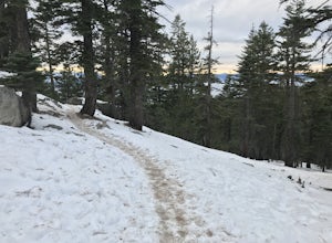
Castle Rock via Tahoe Rim Trail
5.01.79 mi / 407 ft gainCastle Rock via Tahoe Rim Trail (The Bench) is an out-and-back trail that takes you through a nice forest located near Zephyr Cove, Nevada.Read more -
Twin Bridges, California
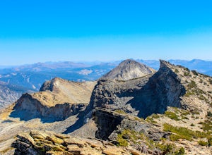
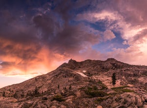
Summit Price & Agassiz from Desolation Wilderness
5.0Mount Price (9,975') is the second highest summit in the Desolation Wilderness, standing just eight feet lower than Pyramid Peak to the south. In between these two peaks stands Mount Agassiz (9,967'), whose overhanging summit resembles a granite wave poised to crash down into the Desolation Vall...Read more -
Reno, Nevada
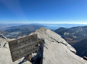
Mt. Rose Summit Loop
5.010.74 mi / 2392 ft gainThis challenging hike offers great views of the greater Tahoe area. The first part of the hike to the waterfall is relatively easy, but once you pass that, you'll be doing a decent climb to the summit. During the summer months, you'll want to get an early start as there can be a decent crowd head...Read more -
South Lake Tahoe, California
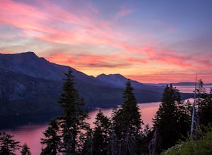
Capture the Sunset at the Angora Ridge Fire Lookout
The Angora Ridge Fire lookout sits above the serene Fallen Leaf Lake with incredible views of Mt. Tallac and Desolation Wilderness. You can hike, bike or drive to the lookout. This is a great spot to photograph the sunset, as the sky will reflect off both Fallen Leaf Lake and Lake Tahoe. Bring a ...Read more -
Tahoma, California
Glen Alpine Falls and Grass Lake
4.85.29 mi / 725 ft gainPark your car at the Glen Alpine Trailhead adjacent to Lily Lake and southwest of Fallen Leaf Lake. Head west on Glen Alpine Creek Trail passing Lily Lake on your left. After a little over a mile and a half of trekking through the alpine forest and taking in mountain views, you'll arrive at Alpin...Read more -
Tahoma, California
Susie Lake, Desolation Wilderness
5.07.96 mi / 1496 ft gainStarting at the Glen Alpine trailhead (best access to Susie Lake): To get to the trailhead, head toward Fallen Leaf Lake in South Lake Tahoe. From HWY 89, turn onto Fallen Leaf Rd and drive past the summer homes and marina until you reach a small firehouse on the left side of the road. You'll fol...Read more -
Tahoma, California
Hike to Half Moon Lake in Desolation Wilderness
5.011 mi / 1600 ft gainThis hike starts at the Glen Alpine Trailhead near Fallen Leaf Lake. Because Desolation is a wilderness area, you are required to fill out a day-use permit which can be found at the trailhead. If you are backpacking make sure to obtain an overnight permit either online or at the Taylor Creek Visi...Read more -
South Lake Tahoe, California
Gilmore Lake in Desolation Wilderness
8.66 mi / 1919 ft gainThe easiest way to get to Gilmore Lake is to start at the Glen Alpine trailhead. The trail head is southwest of Fallen Leaf Lake. There is a decently sized parking lot at the trailhead, but parking is also available on the road up. Because desolation is a wilderness area, you must fill out a perm...Read more -
South Lake Tahoe, California
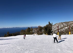
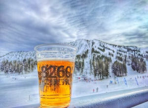
Ski or Snowboard Heavenly
5.0One of the more beautiful resorts in Lake Tahoe to go snowboarding and skiing. Heavenly is situated in South Lake Tahoe on the border of California and Nevada. This ski resort has an amazing view of the lake while going down, as well as one of the largest total areas to ski in Lake Tahoe. This ...Read more -
Carson City, Nevada
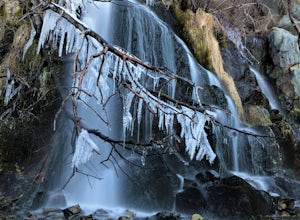
Kings Canyon Falls
4.00.63 mi / 233 ft gain...Living in California, I know all about waterfalls! For me personally though, no matter the shape or size of the waterfall, it has my interest. Now when it comes to Nevada, I honestly can't think of too many waterfalls off the top of my head, but when you're passing through a town that you're u...Read more -
Kyburz, California
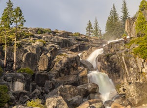
Hike to Bassi Falls
4.61.22 mi / 194 ft gain109' tall Bassi Falls is located in the Crystal Basin area of the El Dorado National Forest. These gorgeous falls at peak Springtime flow crash over enormous boulders and the water sheets over huge, flat slabs of granite. It is located off a rural, pot-holed dirt road (high clearance vehicles re...Read more -
South Lake Tahoe, California
Cliff Jumping Paradise
4.5If you choose to go cliff jumping, be safe and know your limits ahead of time. Don't feel like the big jump is your only option, there are lower jumps, especially across from the beach (only about 15ft. high). Angora Lake in Lake Tahoe is a easy 1mi hike up, but well worth it at the top. It's a b...Read more -
New Washoe City, Nevada
Ski or Snowboard Mt. Rose
5.0The Resort is located about 30 miles (50 km) south of Reno in the Carson Range. Mt. Rose is Tahoe's highest base elevation at about 8,260 ft (2,520 m) and the summit is 9,700 ft (3,000 m). The resort area is 1,200 acres (4.9 km2), and is located in the Toiyabe National Forest.See the resort map h...Read more -
Kyburz, California
Hike to Twin and Island Lakes
5.07 mi / 1600 ft gainThe Twin Lakes trail starts winding through a pine forest, with a couple bridge crossings over crystal clear trout-filled streams. The marsh-like water is very slow moving, and even though it is indeed beautiful, it is also a prime location for pesky mosquitoes in the summertime. Be sure to loa...Read more -
Kyburz, California
Backpack to Smith Lake, Desolation Wilderness
5.05.6 mi / 1750 ft gainTo get to the Twin Lakes Trailhead from the Bay Area/Sacramento, head east on HWY 50 past Kyburz for 4 miles until you see the left-hand turnoff for Wrights Road. If coming westbound on HWY 50, this will be a right-hand turn 5 miles past Strawberry. Follow this paved road for 8 miles (watch for p...Read more -
Kyburz, California
Hike the Grouse, Hemlock, and Smith Lake Trail
5.0Starting from the Wright's Lake parking area, walk past the service gate to find the loop trail. Follow the loop trail to the signed trail for Twin, Grouse, Island, and Hemlock Lakes heading toward the right. You will begin an approximate 150 foot ascend before coming to a saddle. Another 150 foo...Read more

