Temecula, California
Looking for the best photography in Temecula? We've got you covered with the top trails, trips, hiking, backpacking, camping and more around Temecula. The detailed guides, photos, and reviews are all submitted by the Outbound community.
Top Photography Spots in and near Temecula
-
Banning, California
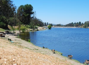
Lake Fulmor Loop Trail
5.00.53 mi / 89 ft gainLake Fulmor is a small lake in the San Jacinto Wilderness near Idyllwild, CA. The trail loops around the lake offering spectacular views and is good for all skill levels. There are picnic tables, grills, and a small dock where you can peer out over the lake or cast a line. To fish in Lake Fulm...Read more -
Silverado, California
Harding Falls Trail
5.05.96 mi / 1378 ft gainThe lot provides free parking, with plenty of spaces available throughout the day. The first few miles feature a descent into the canyon on a defined trail out in the open. The way back up is a decent incline in the sun! Be prepared, because even though 6+ miles may not seem too hard, this h...Read more -
Encinitas, California
Photograph Surfers at Beacons Beach
5.0Pack for a day of fun, and don’t forget your camera! Getting there is easy. You can plug “beacons beach” or Leucadia State Beach right into your gps. You’ll find it right off of Neptune Street, where you can park in the parking lot on top of the sea bluff. Walk down the windy beach trail and you ...Read more -
Laguna Niguel, California
Colinas Ridge Trail
2.01 mi / 131 ft gainFirst, you'll be parking in the parking lot for the dog park. It's free parking and there are roughly 40 spaces, so there is plenty of parking. I've never seen more than 20 cars here at any one time. Once parked you'll find the trail head/ start on the northwest side of the lot (opposite the dog ...Read more -
Encinitas, California
Coastal Roots Farm
5.0Coastal Roots Farm in Encinitas, California provides high quality, freshly picked organic produce with a pay-what-you-can pricing model. If you can afford to, pay their asking price, especially when you consider in return they allow people in need to buy for less than normal market prices. Best p...Read more -
San Diego, California
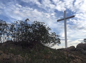
Battle Mountain's Cross
5.00.45 mi / 256 ft gainThis is a quick and easy hike for everyday explorers desiring a 20-minute sweat-inducing power walk leading to incredible views of urban development, Iron Mountain, Mt. Woodson, Mule Hill, and The 15. Come enjoy the views while sitting under the beautiful 20ft cross you've been admiring from the ...Read more -
Riverside County, California
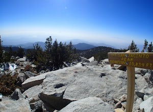
San Jacinto Peak via Marion Mountain Trailhead
11.25 mi / 4505 ft gainSan Jacinto Peak is the second highest peak in Southern California which sits at 10,833'. There are several trails to summit San Jacinto, but Marion Mountain is the shortest but also a tough one. You will start the hike at an elevation of 6300' and continuously climb 4500' in less than 6 miles. ...Read more -
Encinitas, California
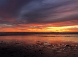
Stonesteps Beach
Stonesteps Beach is incredibly scenic during every season. In the winter this beach is usually fairly rocky, and in the spring/summer the sand returns. If you're looking to hang out on this beach just be sure to set up your towel or chair a good ways away from the cliffside as there is a lot of...Read more -
Dana Point, California
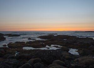
Explore Tide Pools at Dana Point
5.0If you're ever driving on the 5 between San Diego and Los Angeles and traffic is miserable (always), consider making a stop at Dana Point to check out the tide pools. The best place is behind the Ocean Institute which offers plenty of free parking and a short walk behind the building will quickly...Read more -
Lake Forest, California
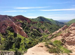
Hike Borrego Canyon to Red Rock Canyon Trails
4.64.2 mi / 500 ft gainJust south east of the city of Irvine, on the southern end of Orange County, is the scenic Whiting Ranch Wilderness Park. Don't let the newly developed shopping centers restaurants fool you, because just beyond the parking lot ($3 Daily Use Fee) of the Borrego Canyon Trailhead, you will find your...Read more -
Dana Point, California
Walk the Dana Point Preserve Trail
5.00.5 miOcean views the whole time, plenty of wildlife and different species of native plants make this short hike beautiful. With the hike being short enough to complete in the afternoon after a day at the beach you can see a beautiful view of the coastline north and south. There is plenty of parking in...Read more -
Mountain Center, California
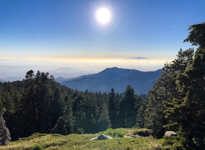
Tahquitz Peak via Devils Slide Trail
5.08.31 mi / 2238 ft gainTahquitz Peak via Devils Slide Trail is a moderately trafficked 8+ mile out and back trail located near Idyllwild, California. This trail is one of the most popular hikes in the San Jacinto area that features a fire lookout tower at the peak and amazing views of the valley below. At an elevation...Read more -
Mountain Center, California
Mount San Jacinto via Devil's Slide
4.514.57 mi / 4475 ft gainMt. San Jacinto is the second tallest peak in Southern California at 10,834’. Although this route requires a fair amount of work, the effort is more than rewarded by the expansive views, forest, meadows, and dramatic topography. You will need an Adventure Pass ($5/day) to park at Humber Park, as...Read more -
Laguna Niguel, California
Kick Back at Laguna Niguel Regional Park
This is an awesome tucked away little adventure that will have you occupied all day! With plenty of picnic tables you can be sure to have your own privacy tucked into a corner free from other people. Grab a lake side picnic table or even the numerous ones around the grass fields, they are all won...Read more -
Warner Springs, California
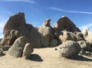
Eagle Rock via the Pacific Crest Trail
5.06.2 mi / 807 ft gainWith doing more hikes in the SoCal area, I've realized half the battle is just trying to find the damn trailhead.Technically you have 2 ways to enter this trail ... Start from 79 and add a very enjoyable extra 3ish miles, or start from the Warner Springs Fire Station, for a total 7 mile hike.We c...Read more -
Laguna Niguel, California
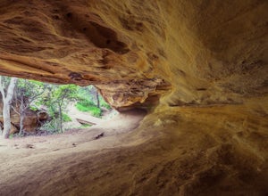
Dripping Cave in the Aliso & Wood Canyons Wilderness
4.47.68 mi / 889 ft gainDripping Cave sits tucked away in a corner of Wood Canyon, part of the Aliso and Wood Canyons Wilderness Park, and the trail to the cave, while short, requires *at least* a 2.25 mile hike in from the nearest trailhead (West Ridge Trail to Mathis Canyon), though this is less than ideal as that rou...Read more


