Thousand Oaks, California
Looking for the best hiking in Thousand Oaks? We've got you covered with the top trails, trips, hiking, backpacking, camping and more around Thousand Oaks. The detailed guides, photos, and reviews are all submitted by the Outbound community.
Top Hiking Spots in and near Thousand Oaks
-
Los Angeles, California
City View and Walnut Forest Trails Loop
4.02.59 mi / 568 ft gainThe City View and Walnut Forest Trails in Ernest E. Debs Regional Park are just outside of downtown Los Angeles, and are perfect for all abilities. The trails are most commonly used by dog walkers, trail runners, mountain bikers and families. The top of the hike features a unique pond. Dogs are a...Read more -
Santa Clarita, California
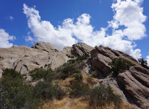
Hike the PCT and Foot Trail Loop through Vasquez Rocks
5.05.5 mi / 287 ft gainThe Pacific Crest Trail and foot trail hike is a 5-mile loop with a quick PCT branch-off that leads under the 14 freeway through a long, well-maintained (but very dark) tunnel. Pull into the well-marked parking lot and stop in the visitor center to take a look at the topographical park model and...Read more -
La Cañada Flintridge, California
Teepee Trail
5.02.55 mi / 1145 ft gainHidden in the small community of La Canada, California, the trailhead is pretty hidden! From the 210, take the exit for Highway 2/Angeles Crest Highway. Head north (towards the mountains) for about a mile. As the highway begins to curve, you will come across a small side-street, Harter Lane. Turn...Read more -
Los Angeles, California
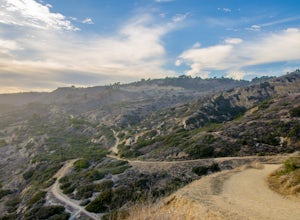
Sunset Hike in Ascot Hills
3.5Ascot Hills Park is a great hidden gem located a few miles east of Los Angeles. There is a parking lot with plenty of parking but the gates close at sunset, which is a great time to go, so if you plan on staying later, park outside the gates where there is ample street parking. Depending on the s...Read more -
Maricopa, California
Potrero John Trail
5.03.51 mi / 627 ft gainThe Potrero John Trail is only 1.75 miles one-way, and is mostly used for hiking. It is right off Highway 33- driving north on the 33, the trailhead is on the right side of the street, right after the Potrero John Bridge (parking is fairly limited so the earlier you get there the better). There ...Read more -
Ojai, California
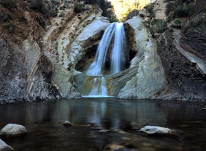
Matilija Falls
5.08.6 mi / 0 ft gainNote: This trail is temporarily closed. For more updates, please visit the Forest Service website for more updates. ...If you've read most of my blogs, you'll probably notice I have a fascination for waterfalls! I've done this hike multiple times, but it wasn't until this day where I saw these ...Read more -
Pasadena, California
Arroyo Terrace Trail
5.01.54 mi / 194 ft gainArroyo Terrace Trail is a loop trail that takes you by a river located near Pasadena, California.Read more -
Ojai, California
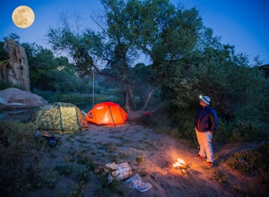
Camp at Rose Valley
5.0Close to Ventura and Ojai, California, this spot is an easy weekend getaway from the hectic coast of Ventura. Follow Highway 33 east toward Ojai. This road will lead into the Los Padres National Forest and become very curved and sleep as it gets closer to Rose Valley. The sign for the Park with b...Read more -
Rancho Palos Verdes, California
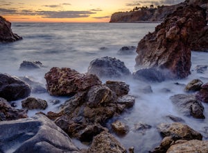
Pelican Cove
0.38 mi / 95 ft gainGetting There Coming from San Pedro, make a U-turn at the Hawthorne Boulevard stoplight onto Palos Verdes Drive South. From here, you can access the parking lot for Pelican Cove, where you'll get a 120° view of the ocean. It might be tempting to take in the sunset from the car, but you should def...Read more -
Rancho Palos Verdes, California
Terranea Beach Sea Cave
4.31.63 mi / 210 ft gainHead to the Pelican Cove parking lot where there’s plenty of free parking right at the trailhead. From the parking lot, take the Terranea Beach Trail and you will see views of the Point Vicente Lighthouse down the coast to your right. Continue on the trail through the luxury Terranea Resort whic...Read more -
Rancho Palos Verdes, California
Burma Road Trail & Ishibashi Trail Loop
4.35.09 mi / 1148 ft gainGetting There: The easiest way to get to Portuguese Bend Nature Reserve is by following Crenshaw Boulevard up Rancho Palos Verdes to the very end of the street. You can park on either side of the street near Del Cerro Park, which also happens to be a great place for picnics if you want to eat bef...Read more -
Rancho Palos Verdes, California
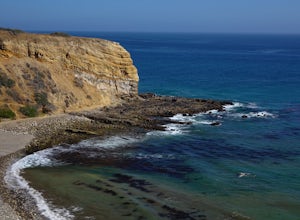
Sacred Cove View Trail
4.52.08 mi / 292 ft gainThis area is spectacular - the views of the cliffs, the channels of water entering the caves, and the marine life (sea lions, whales, dolphins, sea urchin and sea anemone) are huge draws. Bring anyone here that has a sense of adventure and be ready to get wet. Only attempt swimming across the cha...Read more -
Altadena, California
Millard Falls
3.01.27 mi / 289 ft gainTo get to the trail, park at the Millard Campground Trailhead parking lot, where you'll find plenty of parking. Follow the trail that leads away from the lot and past the Millard Campground. If necessary, you'll find bathrooms at the campground. Follow signs for Millard Falls as the trail veers r...Read more -
Los Angeles County, California
Switzer Falls
3.43.66 mi / 728 ft gainJust off the Angeles Crest highway, you’ll find one of LA’s best waterfalls, Switzer Falls. There is a parking lot just next to the trailhead. If you go on the weekend and run into a crowd, there’s parking near the highway, adding a little distance to your trek. Once you’ve walked through the Sw...Read more -
Los Angeles County, California
Bear Canyon via Switzer Falls Trailhead
6.67 mi / 1273 ft gainParking: Parking is available at the Switzer Falls Picnic Area, or in the two overflow lots on the hill. You will need an Adventure Pass to leave your car parked here. Make sure to follow posted signs - there are some parking spots that do not allow overnight parking. Amenities: Bear Canyon has...Read more -
Altadena, California
Gabrieleno Trail: Switzer Falls to Hahamonga Watershed
5.010.14 mi / 814 ft gainGabrieleno Trail: Switzer Falls to Hahamonga Watershed is a point-to-point trail that takes you by a waterfall located near La Canada Flintridge, California.Read more


